177 Doodletown Rd Ancram, NY 12502
Estimated Value: $1,166,000 - $1,635,767
4
Beds
2
Baths
1,800
Sq Ft
$778/Sq Ft
Est. Value
About This Home
This home is located at 177 Doodletown Rd, Ancram, NY 12502 and is currently estimated at $1,400,884, approximately $778 per square foot. 177 Doodletown Rd is a home located in Columbia County with nearby schools including Taconic Hills Elementary School and Taconic Hills Junior/Senior High School.
Ownership History
Date
Name
Owned For
Owner Type
Purchase Details
Closed on
Jun 2, 2004
Sold by
Lyall Michael
Bought by
Murphy Robert E
Current Estimated Value
Purchase Details
Closed on
Jul 24, 2000
Sold by
Michael Lyall
Bought by
Michael Lyall
Purchase Details
Closed on
Feb 5, 1999
Sold by
Hakim Estate Clement
Bought by
Lyall Michael
Create a Home Valuation Report for This Property
The Home Valuation Report is an in-depth analysis detailing your home's value as well as a comparison with similar homes in the area
Home Values in the Area
Average Home Value in this Area
Purchase History
| Date | Buyer | Sale Price | Title Company |
|---|---|---|---|
| Murphy Robert E | $252,500 | Francis J Roche | |
| Michael Lyall | -- | -- | |
| Lyall Michael | -- | Sheila Derman | |
| Lyall Michael | $55,000 | -- |
Source: Public Records
Tax History Compared to Growth
Tax History
| Year | Tax Paid | Tax Assessment Tax Assessment Total Assessment is a certain percentage of the fair market value that is determined by local assessors to be the total taxable value of land and additions on the property. | Land | Improvement |
|---|---|---|---|---|
| 2024 | $14,862 | $1,184,000 | $389,500 | $794,500 |
| 2023 | $15,429 | $1,184,000 | $389,500 | $794,500 |
| 2022 | $13,769 | $670,000 | $244,000 | $426,000 |
| 2021 | $13,888 | $670,000 | $244,000 | $426,000 |
| 2020 | $13,277 | $670,000 | $244,000 | $426,000 |
| 2019 | $12,936 | $670,000 | $244,000 | $426,000 |
| 2018 | $12,936 | $670,000 | $244,000 | $426,000 |
| 2017 | $13,240 | $670,000 | $244,000 | $426,000 |
| 2016 | $13,536 | $670,000 | $244,000 | $426,000 |
| 2015 | -- | $675,900 | $212,000 | $463,900 |
| 2014 | -- | $675,900 | $212,000 | $463,900 |
Source: Public Records
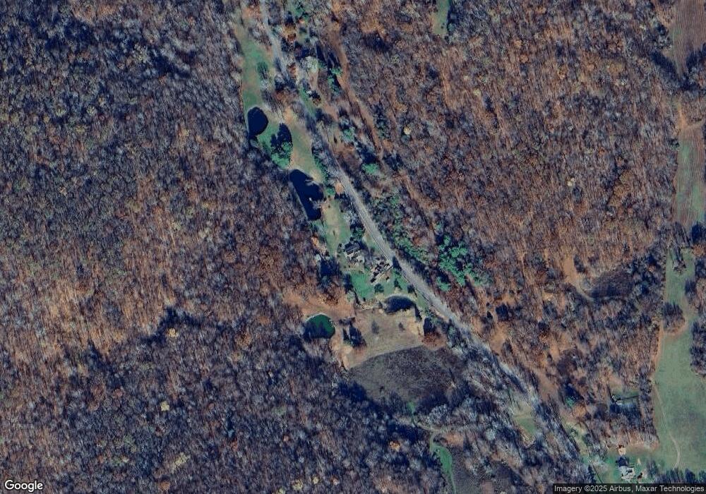
Map
Nearby Homes
- 0 County Route 7 Unit KEYH6308186
- 0 County Route 7 Unit 152778
- 0 Westfall Rd Unit 154554
- 0 Westfall Rd
- 1301 County Route 7
- 3264 County Route 7
- 2934 County Route 7
- 2457 State Route 82
- 0 New York 82
- 2456 New York 82
- 1745 County Route 7
- 91 Decker Rd
- 65 Tims Rd
- 472 Doodletown Rd
- 225 Simons Rd
- 1820 County Route 7
- 630 County Route 11
- 42 E Pond Lilly Rd
- 149 Birch Dr
- 59 New Forge Road II Unit 1
- 141 Doodletown Rd
- 200 Doodletown Rd
- 200 Doodletown Rd Unit 1
- 143 Doodletown Rd
- 240 Doodletown Rd
- 240 Doodletown Rd
- 7 Sheppards Rd
- 7 Sheppards Rd
- 219 Doodletown Rd
- 129 Doodletown Rd
- 89 Shepard Rd
- 0 Sheppards Rd
- 0 Woodlawn Ave Unit 58139
- 0 Woodlawn Ave Unit 58138
- 0 Woodlawn Ave Unit 59029
- 0 Woodlawn Ave Unit 58137
- 0 Woodlawn Ave Unit 58134
- 0 Undermountain Rd Unit 57172
- 0 Undermountain Rd Unit 73470
- 0 Undisclosed Unit 106759