177 Nicholson Dr West Union, SC 29696
Estimated Value: $250,000 - $784,000
3
Beds
2
Baths
1,437
Sq Ft
$292/Sq Ft
Est. Value
About This Home
This home is located at 177 Nicholson Dr, West Union, SC 29696 and is currently estimated at $419,353, approximately $291 per square foot. 177 Nicholson Dr is a home located in Oconee County with nearby schools including Keowee Elementary School, Walhalla Middle School, and Walhalla High School.
Ownership History
Date
Name
Owned For
Owner Type
Purchase Details
Closed on
Jun 24, 2024
Sold by
Powell Joyce J
Bought by
Powell John Michael and Powell Joyce James
Current Estimated Value
Purchase Details
Closed on
Dec 5, 2017
Sold by
Powell John M and Powell John Michael
Bought by
Powell Clifton J
Home Financials for this Owner
Home Financials are based on the most recent Mortgage that was taken out on this home.
Original Mortgage
$10,000
Interest Rate
3.94%
Mortgage Type
Unknown
Create a Home Valuation Report for This Property
The Home Valuation Report is an in-depth analysis detailing your home's value as well as a comparison with similar homes in the area
Home Values in the Area
Average Home Value in this Area
Purchase History
| Date | Buyer | Sale Price | Title Company |
|---|---|---|---|
| Powell John Michael | -- | None Listed On Document | |
| Powell Clifton J | $150,000 | None Available |
Source: Public Records
Mortgage History
| Date | Status | Borrower | Loan Amount |
|---|---|---|---|
| Previous Owner | Powell Clifton J | $10,000 |
Source: Public Records
Tax History Compared to Growth
Tax History
| Year | Tax Paid | Tax Assessment Tax Assessment Total Assessment is a certain percentage of the fair market value that is determined by local assessors to be the total taxable value of land and additions on the property. | Land | Improvement |
|---|---|---|---|---|
| 2025 | $1,242 | $8,633 | $6,031 | $2,602 |
| 2024 | $1,242 | $8,633 | $6,031 | $2,602 |
| 2023 | $1,242 | $8,633 | $6,031 | $2,602 |
| 2022 | $1,259 | $8,633 | $6,031 | $2,602 |
| 2021 | $1,163 | $8,041 | $5,571 | $2,470 |
| 2020 | $1,121 | $0 | $0 | $0 |
| 2019 | $1,121 | $0 | $0 | $0 |
| 2018 | $1,092 | $0 | $0 | $0 |
| 2017 | $1,163 | $0 | $0 | $0 |
| 2016 | $1,163 | $0 | $0 | $0 |
| 2015 | -- | $0 | $0 | $0 |
| 2014 | -- | $14,243 | $10,793 | $3,450 |
| 2013 | -- | $0 | $0 | $0 |
Source: Public Records
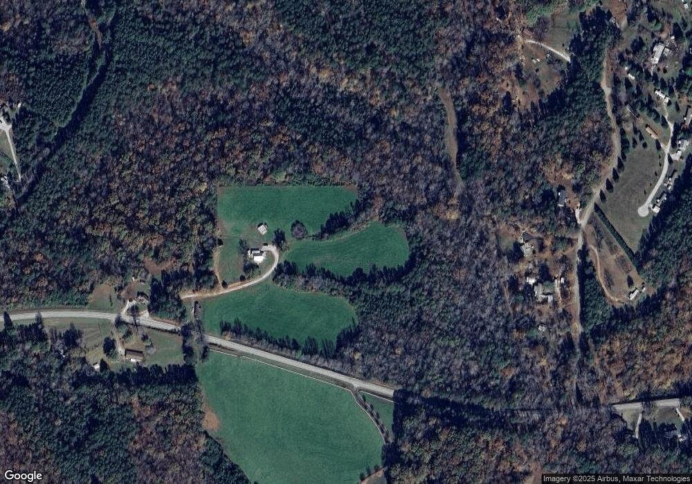
Map
Nearby Homes
- 665 Brc Dr
- 108 Cranes Crossing Dr
- 130 Quail Haven Dr
- 2357 Pickens Hwy
- 1817 Hastehill Dr
- 595 Morris Ln
- 00 Wolf Stake Church Rd
- 000 Wolf Stake Church Rd
- 1907 Queen Dr
- Hudson Plan at Windsor Estates
- Bramante Ranch Plan at Windsor Estates
- Savannah Plan at Windsor Estates
- Columbia Plan at Windsor Estates
- Cumberland Plan at Windsor Estates
- Cumberland with Basement Plan at Windsor Estates
- 310 Falcons Nest Rd
- 270 Colony Ln
- 00 Colony Ln
- TBD Colony Ln
- Lot 44 Glassy Water Way
- 2135 Pickens Hwy
- 2128 Pickens Hwy
- 2127 Pickens Hwy
- 145 Boyd Moss Rd
- 127 Boyd Moss Rd
- 115 Mountain Springs Rd
- 117 Mountain Springs Rd
- 119 Boyd Moss Rd
- 121 Mountain Springs Rd
- 212 Taylor Rd
- 297 Taylor Rd
- 110 Boyd Moss Rd
- 230 Laurel Ridge Dr
- 320 Muscadine Ridge
- Lot 4 Waters View
- Lot 2 Waters View
- Lot 1 Waters View
- 203 Boyd Moss Rd
- 260 Taylor Rd
- 2212 Pickens Hwy