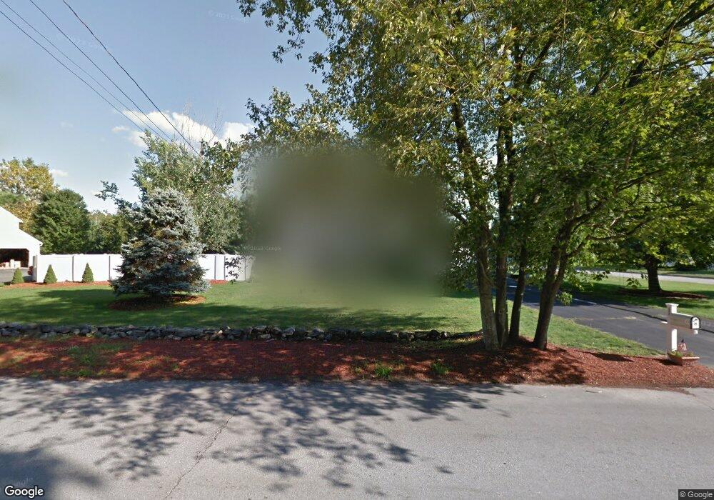
177 Ridge Rd Nashua, NH 03062
Southwest Nashua NeighborhoodEstimated Value: $681,000 - $778,000
4
Beds
3
Baths
2,320
Sq Ft
$319/Sq Ft
Est. Value
About This Home
This home is located at 177 Ridge Rd, Nashua, NH 03062 and is currently estimated at $739,533, approximately $318 per square foot. 177 Ridge Rd is a home located in Hillsborough County with nearby schools including Bicentennial Elementary School, Fairgrounds Middle School, and Nashua High School South.
Ownership History
Date
Name
Owned For
Owner Type
Purchase Details
Closed on
Aug 23, 1999
Sold by
Woolley George J and Woolley Maryanne E
Bought by
Monacham Susan M
Current Estimated Value
Home Financials for this Owner
Home Financials are based on the most recent Mortgage that was taken out on this home.
Original Mortgage
$236,000
Outstanding Balance
$67,553
Interest Rate
7.6%
Mortgage Type
Purchase Money Mortgage
Estimated Equity
$671,980
Create a Home Valuation Report for This Property
The Home Valuation Report is an in-depth analysis detailing your home's value as well as a comparison with similar homes in the area
Home Values in the Area
Average Home Value in this Area
Purchase History
| Date | Buyer | Sale Price | Title Company |
|---|---|---|---|
| Monacham Susan M | $295,000 | -- |
Source: Public Records
Mortgage History
| Date | Status | Borrower | Loan Amount |
|---|---|---|---|
| Open | Monacham Susan M | $236,000 |
Source: Public Records
Tax History Compared to Growth
Tax History
| Year | Tax Paid | Tax Assessment Tax Assessment Total Assessment is a certain percentage of the fair market value that is determined by local assessors to be the total taxable value of land and additions on the property. | Land | Improvement |
|---|---|---|---|---|
| 2024 | $10,392 | $653,600 | $183,200 | $470,400 |
| 2023 | $9,975 | $547,200 | $146,500 | $400,700 |
| 2022 | $9,888 | $547,200 | $146,500 | $400,700 |
| 2021 | $9,114 | $392,500 | $102,600 | $289,900 |
| 2020 | $8,874 | $392,500 | $102,600 | $289,900 |
| 2019 | $8,541 | $392,500 | $102,600 | $289,900 |
| 2018 | $8,325 | $392,500 | $102,600 | $289,900 |
| 2017 | $8,173 | $316,900 | $80,800 | $236,100 |
| 2016 | $7,945 | $316,900 | $80,800 | $236,100 |
| 2015 | $7,774 | $316,900 | $80,800 | $236,100 |
| 2014 | $7,621 | $316,900 | $80,800 | $236,100 |
Source: Public Records
Map
Nearby Homes
- 32 Cadogan Way Unit UZ257
- 51 Legacy Dr
- 8 Hikers Ln
- 4 Hikers Ln
- 58 Wilderness Dr
- 65 Wilderness Dr
- 7 Doucet Ave
- 50 Wilderness Dr
- 4 Wilderness Dr
- 1 Wilderness Dr
- 57 Wilderness Dr
- 79 Wilderness Dr
- 6 Wilderness Dr
- 3 Wilderness Dr
- 2 Wilderness Dr
- 59 Wilderness Dr
- 63 Wilderness Dr Unit Derby 2
- 61 Wilderness Dr
- 7 Wilderness Dr
- 19 Georgetown Dr
- 6 Penny Ln
- 173 Ridge Rd
- 179 Ridge Rd
- 5 Penny Ln
- 8 Penny Ln
- 40 Cadogan Way Unit UZ261
- 38 Cadogan Way Unit UZ260
- 181 Ridge Rd
- 36 Cadogan Way Unit UZ259
- 36 Cadogan Way Unit Z259
- 34 Cadogan Way Unit UZ258
- 30 Cadogan Way Unit UZ256
- 30 Cadogan Way Unit 30
- 30 Cadogan Way
- 88 Cadogan Way Unit UFF303
- 88 Cadogan Way Unit 88
- 42 Cadogan Way Unit UAA262
- 151 Ridge Rd
- 86 Cadogan Way Unit UFF302
- 44 Cadogan Way Unit UAA263