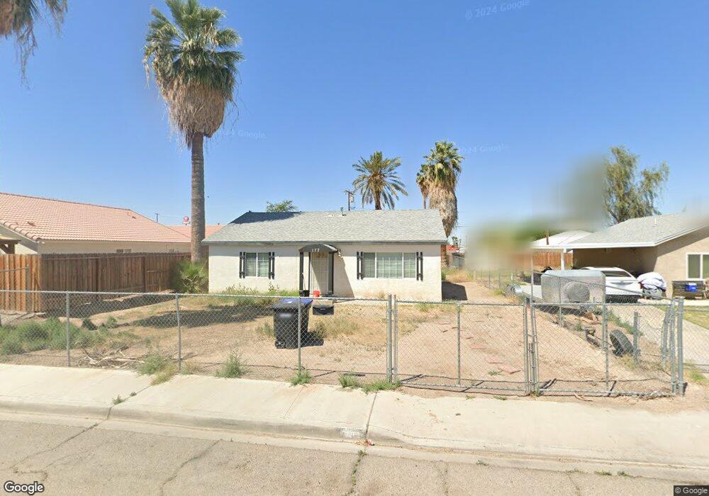
177 S Palm Dr Blythe, CA 92225
Estimated Value: $143,000 - $255,000
3
Beds
2
Baths
1,080
Sq Ft
$176/Sq Ft
Est. Value
About This Home
This home is located at 177 S Palm Dr, Blythe, CA 92225 and is currently estimated at $190,138, approximately $176 per square foot. 177 S Palm Dr is a home located in Riverside County with nearby schools including Palo Verde High School and Scale Leadership Academy - East.
Ownership History
Date
Name
Owned For
Owner Type
Purchase Details
Closed on
Feb 24, 2022
Sold by
Bobby R And Janice E Darland Family Trus and Darland Janice E
Bought by
Darland Diana J and Darland Diana J
Current Estimated Value
Purchase Details
Closed on
Aug 16, 2021
Sold by
Baker Virginia
Bought by
Darland Janice E and Darland Bobby R
Purchase Details
Closed on
Oct 2, 1997
Sold by
Ray Darland Bobby
Bought by
Bob R & Janice E Darland Family Trust
Create a Home Valuation Report for This Property
The Home Valuation Report is an in-depth analysis detailing your home's value as well as a comparison with similar homes in the area
Home Values in the Area
Average Home Value in this Area
Purchase History
We collect this data history from publicly available records. To have your information removed, we recommend requesting removal directly through your county’s website.
| Date | Buyer | Sale Price | Title Company |
|---|---|---|---|
| Darland Diana J | -- | None Listed On Document | |
| Darland Janice E | -- | None Available | |
| Bob R & Janice E Darland Family Trust | -- | -- |
Source: Public Records
Tax History
| Year | Tax Paid | Tax Assessment Tax Assessment Total Assessment is a certain percentage of the fair market value that is determined by local assessors to be the total taxable value of land and additions on the property. | Land | Improvement |
|---|---|---|---|---|
| 2025 | $1,955 | $177,908 | $44,477 | $133,431 |
| 2023 | $956 | $84,267 | $21,684 | $62,583 |
| 2022 | $936 | $82,615 | $21,259 | $61,356 |
| 2021 | $293 | $24,741 | $7,374 | $17,367 |
| 2020 | $291 | $24,488 | $7,299 | $17,189 |
| 2019 | $288 | $24,008 | $7,156 | $16,852 |
| 2018 | $271 | $23,538 | $7,016 | $16,522 |
| 2017 | $266 | $23,078 | $6,879 | $16,199 |
| 2016 | $263 | $22,627 | $6,745 | $15,882 |
| 2015 | $261 | $22,290 | $6,645 | $15,645 |
| 2014 | $252 | $21,856 | $6,516 | $15,340 |
Source: Public Records
Map
Nearby Homes
- 137 S Palm Dr
- 0 N Main St Unit SB25018162
- 900 W Donlon St
- 349 S Lovekin Blvd
- 301 S Spring St
- 0 N Carlton Ave
- 909 W Barnard St
- 340 N Lovekin Blvd
- 316 S Spring St
- 317 S Broadway
- 132 E Hobsonway
- 410 N Lovekin Blvd
- 318 N Carlton Ave
- 461 N Palm Dr
- 333 N Carlton Ave
- 0 N 1st St
- 0 Blythe Unit 219122850DA
- 0 Blythe Unit 219122849DA
- 0 Blythe Unit PW26026036
- 0 SW 1 4 of Sec 25 Tp 6 S R 20 E Unit RS26038543
- 169 S Palm Dr
- 625 W Rice St
- 635 W Rice St
- 157 S Palm Dr
- 176 S Willow St
- 186 S Willow St
- 153 S Palm Dr
- 645 W Rice St Unit 645 W Rice
- 160 S Willow St
- 575 W Rice St
- 152 1/2 S Palm Dr
- 152 S Palm Dr
- 201 S Palm Dr
- 648 W Rice St
- 555 W Rice St
- 202 S Palm Dr
- 208 S Willow St
- 144 S Palm Dr
- 217 S Palm Dr
- 135 S Palm Dr
Your Personal Tour Guide
Ask me questions while you tour the home.