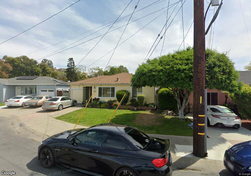
1770 142nd Ave San Leandro, CA 94578
Upper Bal NeighborhoodEstimated Value: $718,000 - $770,000
2
Beds
1
Bath
843
Sq Ft
$873/Sq Ft
Est. Value
About This Home
This home is located at 1770 142nd Ave, San Leandro, CA 94578 and is currently estimated at $736,040, approximately $873 per square foot. 1770 142nd Ave is a home located in Alameda County with nearby schools including Jefferson Elementary School, Bancroft Middle School, and San Leandro High School.
Ownership History
Date
Name
Owned For
Owner Type
Purchase Details
Closed on
Jun 13, 2019
Sold by
Erickson John K and Rita Ann Erickson Revocable Tr
Bought by
Antuna Moises R and Antuna Monica M
Current Estimated Value
Home Financials for this Owner
Home Financials are based on the most recent Mortgage that was taken out on this home.
Original Mortgage
$608,770
Outstanding Balance
$538,447
Interest Rate
4.4%
Mortgage Type
FHA
Estimated Equity
$197,593
Purchase Details
Closed on
Mar 15, 2018
Sold by
Erickson Rita Ann
Bought by
Erickson Rita Ann and Rita Ann Erickson Revocable Tr
Create a Home Valuation Report for This Property
The Home Valuation Report is an in-depth analysis detailing your home's value as well as a comparison with similar homes in the area
Home Values in the Area
Average Home Value in this Area
Purchase History
| Date | Buyer | Sale Price | Title Company |
|---|---|---|---|
| Antuna Moises R | $620,000 | North American Title Co Inc | |
| Erickson Rita Ann | -- | None Available |
Source: Public Records
Mortgage History
| Date | Status | Borrower | Loan Amount |
|---|---|---|---|
| Open | Antuna Moises R | $608,770 |
Source: Public Records
Tax History Compared to Growth
Tax History
| Year | Tax Paid | Tax Assessment Tax Assessment Total Assessment is a certain percentage of the fair market value that is determined by local assessors to be the total taxable value of land and additions on the property. | Land | Improvement |
|---|---|---|---|---|
| 2025 | $8,999 | $691,610 | $207,483 | $484,127 |
| 2024 | $8,999 | $678,050 | $203,415 | $474,635 |
| 2023 | $9,022 | $664,757 | $199,427 | $465,330 |
| 2022 | $8,753 | $651,724 | $195,517 | $456,207 |
| 2021 | $8,508 | $638,947 | $191,684 | $447,263 |
| 2020 | $8,305 | $632,400 | $189,720 | $442,680 |
| 2019 | $7,642 | $586,500 | $175,950 | $410,550 |
| 2018 | $3,832 | $282,287 | $116,096 | $166,191 |
| 2017 | $3,769 | $276,753 | $113,820 | $162,933 |
| 2016 | $3,563 | $271,326 | $111,588 | $159,738 |
| 2015 | $3,493 | $267,253 | $109,913 | $157,340 |
| 2014 | $3,464 | $262,019 | $107,760 | $154,259 |
Source: Public Records
Map
Nearby Homes
- 2724 Benedict Dr
- 1293 Vistagrand Dr
- 1939 Placer Dr
- 14625 Bancroft Ave
- 14101 E 14th St Unit 306
- 0 Saturn Dr
- 14683 Midland Rd
- 1247 Benedict Ct
- 1253 139th Ave
- 2290 Upland Rd
- 2147 Trombas Ave
- 14960 Portofino Cir
- 1876 Benedict Dr
- 14955 Lark St
- 14973 Patton Ave
- 14972 Lark St
- 2230 Sol St
- 1162 136th Ave
- 775 Elsie Ave
- 2378 Cheshire Place
- 1760 142nd Ave
- 1774 142nd Ave
- 1763 143rd Ave
- 1778 142nd Ave
- 1771 143rd Ave
- 1757 143rd Ave
- 1750 142nd Ave
- 1745 143rd Ave
- 1783 143rd Ave
- 1761 142nd Ave
- 1780 142nd Ave
- 1740 142nd Ave
- 14225 School St
- 1790 141st Ave
- 1737 143rd Ave
- 1751 142nd Ave
- 1772 141st Ave
- 1730 142nd Ave
- 1741 142nd Ave
- 1762 143rd Ave