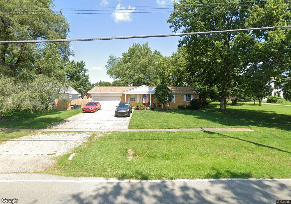
1770 Springdale Rd Cincinnati, OH 45231
New Burlington NeighborhoodEstimated Value: $219,905 - $259,000
3
Beds
2
Baths
1,161
Sq Ft
$203/Sq Ft
Est. Value
About This Home
This home is located at 1770 Springdale Rd, Cincinnati, OH 45231 and is currently estimated at $235,976, approximately $203 per square foot. 1770 Springdale Rd is a home located in Hamilton County with nearby schools including Mt Healthy High School, Hamilton County Mathematics and Science Academy, and Central Montessori Academy.
Ownership History
Date
Name
Owned For
Owner Type
Purchase Details
Closed on
Aug 28, 2014
Sold by
Laib Charlotte C
Bought by
The Dale & Charlotte Laib Living Trust
Current Estimated Value
Purchase Details
Closed on
May 13, 1996
Sold by
Laib Charlotte C and Peters Charlotte C
Bought by
Laib Charlotte C
Home Financials for this Owner
Home Financials are based on the most recent Mortgage that was taken out on this home.
Original Mortgage
$48,900
Interest Rate
8.1%
Create a Home Valuation Report for This Property
The Home Valuation Report is an in-depth analysis detailing your home's value as well as a comparison with similar homes in the area
Home Values in the Area
Average Home Value in this Area
Purchase History
| Date | Buyer | Sale Price | Title Company |
|---|---|---|---|
| The Dale & Charlotte Laib Living Trust | -- | Attorney | |
| Laib Charlotte C | -- | -- |
Source: Public Records
Mortgage History
| Date | Status | Borrower | Loan Amount |
|---|---|---|---|
| Closed | Laib Charlotte C | $48,900 |
Source: Public Records
Tax History
| Year | Tax Paid | Tax Assessment Tax Assessment Total Assessment is a certain percentage of the fair market value that is determined by local assessors to be the total taxable value of land and additions on the property. | Land | Improvement |
|---|---|---|---|---|
| 2025 | $3,118 | $63,767 | $12,502 | $51,265 |
| 2023 | $2,984 | $63,767 | $12,502 | $51,265 |
| 2022 | $3,183 | $50,702 | $12,177 | $38,525 |
| 2021 | $3,083 | $50,702 | $12,177 | $38,525 |
| 2020 | $3,148 | $50,702 | $12,177 | $38,525 |
| 2019 | $2,499 | $39,922 | $9,587 | $30,335 |
| 2018 | $2,513 | $39,922 | $9,587 | $30,335 |
| 2017 | $2,375 | $39,922 | $9,587 | $30,335 |
| 2016 | $2,050 | $35,393 | $9,104 | $26,289 |
| 2015 | $2,078 | $35,393 | $9,104 | $26,289 |
| 2014 | $2,069 | $35,393 | $9,104 | $26,289 |
| 2013 | $2,292 | $38,892 | $10,003 | $28,889 |
Source: Public Records
Map
Nearby Homes
- 10453 Mill Rd
- 10493 Mill Rd
- 10228 Springbeauty Ln
- 1858 Aspenhill Dr
- 1805 Miles Rd
- 1887 Lotushill Dr
- 1958 Bluehill Dr
- 624 Brightview Dr
- 626 Brightview Dr
- 606 Brightview Dr
- 610 Brightview Dr
- 622 Brightview Dr
- 614 Brightview Dr
- 616 Brightview Dr
- 620 Brightview Dr
- 612 Brightview Dr
- 604 Brightview Dr
- 1931 Lotushill Dr
- 1854 Windmill Way
- 2192 Pinney Ln
- 0 Springdale Rd Unit 1237869
- 1756 Springdale Rd
- 10378 Springrun Dr
- 10367 Springrun Dr
- 1777 Springdale Rd
- 10357 Springrun Dr
- 1743 Springdale Rd
- 10386 Springrun Dr
- 1736 Springdale Rd
- 1785 Springdale Rd
- 10375 Springrun Dr
- 1735 Springdale Rd
- 1812 Springdale Rd
- 1728 Springdale Rd
- 10385 Springrun Dr Unit 36
- 10394 Springrun Dr
- 1727 Springdale Rd
- 1801 Springdale Rd
- 10372 Maria Ave
- 10368 Maria Ave
Your Personal Tour Guide
Ask me questions while you tour the home.