Estimated Value: $1,454,000 - $2,155,212
4
Beds
4
Baths
3,028
Sq Ft
$606/Sq Ft
Est. Value
About This Home
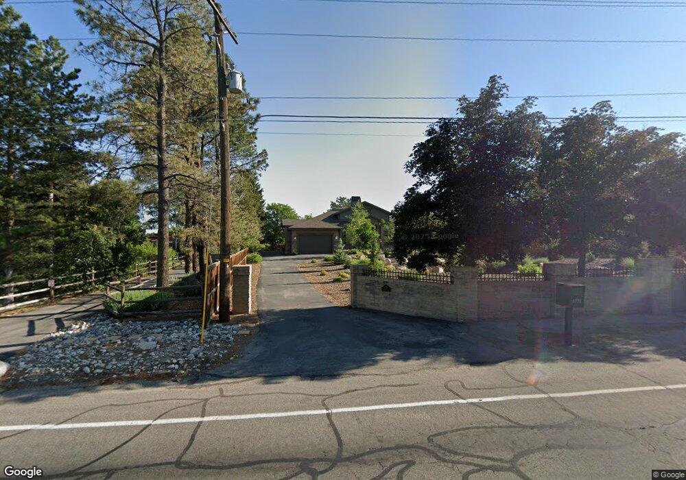
This home is located at 1771 E 10600 S, Sandy, UT 84092 and is currently estimated at $1,834,553, approximately $605 per square foot. 1771 E 10600 S is a home located in Salt Lake County with nearby schools including Sunrise Elementary School, Bell Canyon Montessori School, and Challenger School - Sandy.
Ownership History
Date
Name
Owned For
Owner Type
Purchase Details
Closed on
Oct 3, 2017
Sold by
Deseelhorst David L and Deseelhorst Debra L
Bought by
Deseelhorst David L and Deseelhorst Debra L
Current Estimated Value
Purchase Details
Closed on
Mar 31, 2008
Sold by
Davis Mavis G
Bought by
Deseelhorst David L and Deseelhorst Debra L
Purchase Details
Closed on
Oct 5, 2007
Sold by
Davis Mavis J
Bought by
Deseelhorst David L and Deseelhorst Debra L
Purchase Details
Closed on
Dec 28, 2006
Sold by
Davis Mavis J
Bought by
Davis Mavis J and Mavis J Davis Revocable Trust
Purchase Details
Closed on
Sep 2, 2003
Sold by
Davis Mavis J
Bought by
Davis Mavis J and Mavis J Davis Revocable Trust
Create a Home Valuation Report for This Property
The Home Valuation Report is an in-depth analysis detailing your home's value as well as a comparison with similar homes in the area
Home Values in the Area
Average Home Value in this Area
Purchase History
| Date | Buyer | Sale Price | Title Company |
|---|---|---|---|
| Deseelhorst David L | -- | None Available | |
| Deseelhorst David L | -- | Equity Title | |
| Deseelhorst David L | -- | Equity Title | |
| Davis Mavis J | -- | First American Title | |
| Davis Mavis J | -- | -- |
Source: Public Records
Tax History
| Year | Tax Paid | Tax Assessment Tax Assessment Total Assessment is a certain percentage of the fair market value that is determined by local assessors to be the total taxable value of land and additions on the property. | Land | Improvement |
|---|---|---|---|---|
| 2025 | $11,255 | $2,160,690 | $558,990 | $1,601,700 |
| 2024 | $11,255 | $1,973,090 | $538,090 | $1,435,000 |
| 2023 | $10,310 | $1,738,590 | $514,990 | $1,223,600 |
| 2022 | $10,310 | $1,756,690 | $499,090 | $1,257,600 |
| 2021 | $9,416 | $1,385,600 | $346,700 | $1,038,900 |
| 2020 | $8,868 | $1,224,100 | $346,700 | $877,400 |
| 2019 | $8,560 | $1,150,190 | $328,390 | $821,800 |
Source: Public Records
Map
Nearby Homes
- 10868 Prescott Dr
- 2026 E 10765 S
- 1602 E Sego Lily Dr
- 10286 S Edgecliff Dr
- 10538 S Bay Meadow Dr
- 10240 Locksley Rd
- 10158 Buttercup Dr
- 2009 E Sweetbriar Ln
- 10172 Snow Iris Way
- 1653 Crescent View Dr
- 16 Gatehouse Ln
- 7 Rollingwood Ln
- 1650 E Budding Dr
- 11129 S 2125 E
- 2342 Charros Rd
- 11318 Canyon Falls Ln
- 10665 S 2340 E
- 11341 S Silver Buckle Way
- 10517 S Larkspur Dr
- 1 Quietwood Ln
- 1775 E 10600 S
- 1775 E Dimple Dell Rd
- 1775 E Dimple Dell Rd
- 1747 E 10600 S
- 1777 E 10600 S
- 1779 E 10600 S
- 1743 E 10600 S
- 1743 E Dimple Dell Rd
- 1727 E Dimple Dell Rd
- 1723 E 10600 S
- 1723 E Badger Cove
- 1835 E Dimple Dell Rd
- 1835 E 10600 S
- 1843 E 10600 S
- 1847 E 10600 S
- 1847 E Dimple Dell Rd
- 1847 Dimple Dell Rd
- 1703 Dimple Dell Rd
- 1723 Dimple Dell Rd
- 1855 E 10600 S
Your Personal Tour Guide
Ask me questions while you tour the home.