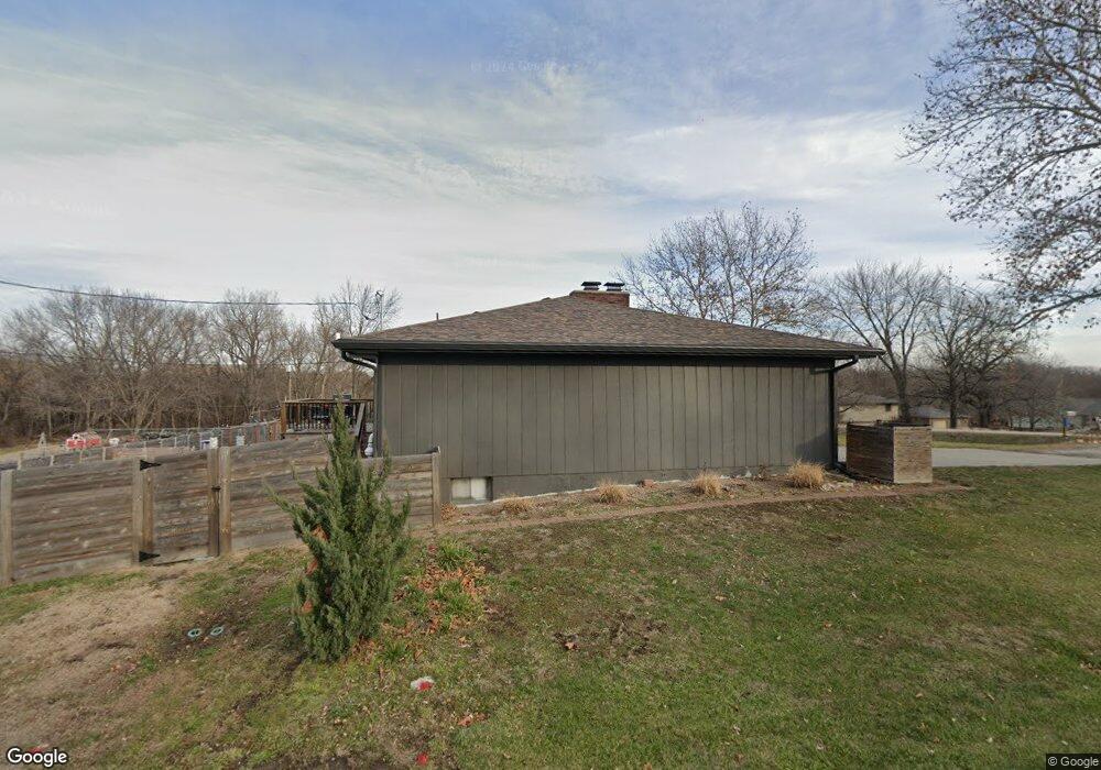
1771 E 1338 Rd Lawrence, KS 66044
Estimated Value: $394,000 - $429,000
4
Beds
3
Baths
2,737
Sq Ft
$149/Sq Ft
Est. Value
About This Home
This home is located at 1771 E 1338 Rd, Lawrence, KS 66044 and is currently estimated at $406,728, approximately $148 per square foot. 1771 E 1338 Rd is a home located in Douglas County with nearby schools including Deerfield Elementary School, West Middle School, and Lawrence Free State High School.
Ownership History
Date
Name
Owned For
Owner Type
Purchase Details
Closed on
Oct 26, 2022
Sold by
Ransom Andrea R and Ransom Carlos A
Bought by
Guffey Emily and Guffey Nicholas
Current Estimated Value
Purchase Details
Closed on
Apr 26, 2017
Sold by
Freitag Robert W and Freitag Chartine M
Bought by
Ranson Andrea R and Ranson Carlos A
Home Financials for this Owner
Home Financials are based on the most recent Mortgage that was taken out on this home.
Original Mortgage
$183,612
Interest Rate
4.3%
Mortgage Type
FHA
Create a Home Valuation Report for This Property
The Home Valuation Report is an in-depth analysis detailing your home's value as well as a comparison with similar homes in the area
Purchase History
| Date | Buyer | Sale Price | Title Company |
|---|---|---|---|
| Guffey Emily | -- | Continental Title | |
| Ranson Andrea R | -- | Security 1St Title |
Source: Public Records
Mortgage History
| Date | Status | Borrower | Loan Amount |
|---|---|---|---|
| Previous Owner | Ranson Andrea R | $183,612 |
Source: Public Records
Tax History
| Year | Tax Paid | Tax Assessment Tax Assessment Total Assessment is a certain percentage of the fair market value that is determined by local assessors to be the total taxable value of land and additions on the property. | Land | Improvement |
|---|---|---|---|---|
| 2025 | $7,800 | $44,540 | $5,750 | $38,790 |
| 2024 | $7,658 | $43,023 | $5,405 | $37,618 |
| 2023 | $7,645 | $41,170 | $5,175 | $35,995 |
| 2022 | $6,452 | $29,887 | $4,600 | $25,287 |
| 2021 | $3,023 | $25,545 | $4,368 | $21,177 |
| 2020 | $2,799 | $23,874 | $4,368 | $19,506 |
| 2019 | $2,635 | $22,523 | $3,798 | $18,725 |
| 2018 | $2,557 | $21,658 | $3,571 | $18,087 |
Source: Public Records
Map
Nearby Homes
- 1300 Sunchase Dr
- 255 N Michigan St Unit 77
- 255 N Michigan St Unit 11-60
- 540 Bently Dr
- 515 McDonald Dr
- 1521 W 2nd Terrace
- 3112 Sherwood Dr
- 1508 W 3rd St
- 302 Providence Rd
- 338 Woodlawn Cir
- 320 Florida St Unit 1 & 2
- 333 Florida St
- 339 Florida St
- 347 Florida St
- 1903 E 1400 Rd
- 220 Deerfield Ln
- Lot 2 Peterson Rd
- 3500 Tillerman Dr
- 619 W 4th St
- 110 Glenview Dr
- 1328 N 1770 Rd
- 1775 E 1338 Rd
- 1772 E 1338 Rd
- 1767 E 1338 Rd
- 1776 E 1338 Rd
- 1329 N 1770 Rd
- 1768 E 1338 Rd
- 1779 E 1338 Rd
- 1324 N 1770 Rd
- 907 Riverside Ct
- 911 Riverside Ct
- 903 Riverside Ct
- 1425 Riverside Rd
- 915 Riverside Ct
- 1780 E 1338 Rd
- 1323 N 1770 Rd
- 810 N Minnesota St
- 1765 E 1338 Rd Unit 1765 N Minnesota
- 1765 E 1338 Rd
- 918 Riverside Ct
Your Personal Tour Guide
Ask me questions while you tour the home.