1771 Stevenson Rd Bentley, MI 48613
Estimated Value: $224,000 - $318,474
3
Beds
2
Baths
1,652
Sq Ft
$163/Sq Ft
Est. Value
About This Home
This home is located at 1771 Stevenson Rd, Bentley, MI 48613 and is currently estimated at $268,825, approximately $162 per square foot. 1771 Stevenson Rd is a home located in Bay County with nearby schools including Standish-Sterling Central High School.
Ownership History
Date
Name
Owned For
Owner Type
Purchase Details
Closed on
Nov 19, 2007
Sold by
Dodd Bobby Ray
Bought by
Dodd Lisa C and Dodd Lisa Charisse
Current Estimated Value
Home Financials for this Owner
Home Financials are based on the most recent Mortgage that was taken out on this home.
Original Mortgage
$30,000
Interest Rate
6.33%
Mortgage Type
Stand Alone Refi Refinance Of Original Loan
Purchase Details
Closed on
Dec 29, 1995
Sold by
Caverly Barton J and Caverly Rebecca
Bought by
Dodd Bobby Ray and Dodd Lisa Charisse
Create a Home Valuation Report for This Property
The Home Valuation Report is an in-depth analysis detailing your home's value as well as a comparison with similar homes in the area
Purchase History
| Date | Buyer | Sale Price | Title Company |
|---|---|---|---|
| Dodd Lisa C | -- | Independent Title Services | |
| Dodd Bobby Ray | $113,000 | -- |
Source: Public Records
Mortgage History
| Date | Status | Borrower | Loan Amount |
|---|---|---|---|
| Closed | Dodd Lisa C | $30,000 |
Source: Public Records
Tax History
| Year | Tax Paid | Tax Assessment Tax Assessment Total Assessment is a certain percentage of the fair market value that is determined by local assessors to be the total taxable value of land and additions on the property. | Land | Improvement |
|---|---|---|---|---|
| 2025 | $2,804 | $149,200 | $0 | $0 |
| 2024 | $966 | $125,400 | $0 | $0 |
| 2023 | $920 | $113,900 | $0 | $0 |
| 2022 | $2,066 | $82,800 | $0 | $0 |
| 2021 | $1,931 | $93,700 | $93,700 | $0 |
| 2020 | $1,890 | $79,400 | $79,400 | $0 |
| 2019 | $1,833 | $77,600 | $0 | $0 |
| 2018 | $1,812 | $83,700 | $0 | $0 |
| 2017 | $1,791 | $74,800 | $0 | $0 |
| 2016 | $1,797 | $69,900 | $0 | $69,900 |
| 2015 | -- | $65,500 | $0 | $65,500 |
| 2014 | -- | $60,600 | $0 | $60,600 |
Source: Public Records
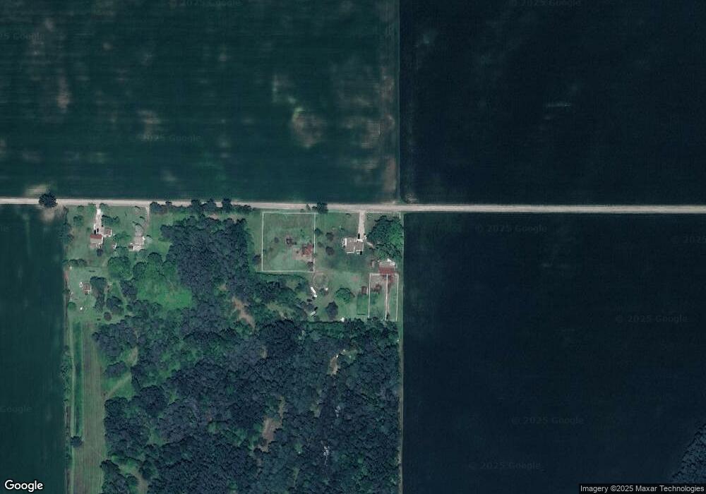
Map
Nearby Homes
- 6034 W Sterling Rd
- 6455 N Carter Rd
- NKA Ellison Rd
- 201 E Main St
- 808 W Cody Estey Rd
- 00 Estey Road Lot Unit WP001
- NKA S Huron Rd
- 0 Michigan 61
- 2410 W Pinconning Rd
- V/L Elm St
- 318 North St
- 350 Orchard St
- 5634 S Huron Rd
- 405 Orchard St
- 517 Cherry St
- 3493 Pine River Rd
- NKA Fairway Dr
- 1849 E M 61
- 6348 Jackpine Trail
- 3067 W Huron Rd
- 1847 Stevenson Rd
- 1851 Stevenson Rd
- 1992 Stevenson Rd
- 1992 Stevenson Rd
- 2020 Stevenson Rd
- 8085 Carter Rd
- 8178 Carter Rd
- 1468 Stevenson Rd
- 7892 11 Mile Rd
- 7762 Carter Rd
- 1454 Stevenson Rd
- 2107 Stevenson Rd
- 8222 Carter Rd
- 7720 Carter Rd
- 7721 Carter Rd
- 8451 Carter Rd
- 7680 Carter Rd
- 1390 Stevenson Rd
- 1390 Stevenson Rd
- 8255 Carter Rd
Your Personal Tour Guide
Ask me questions while you tour the home.