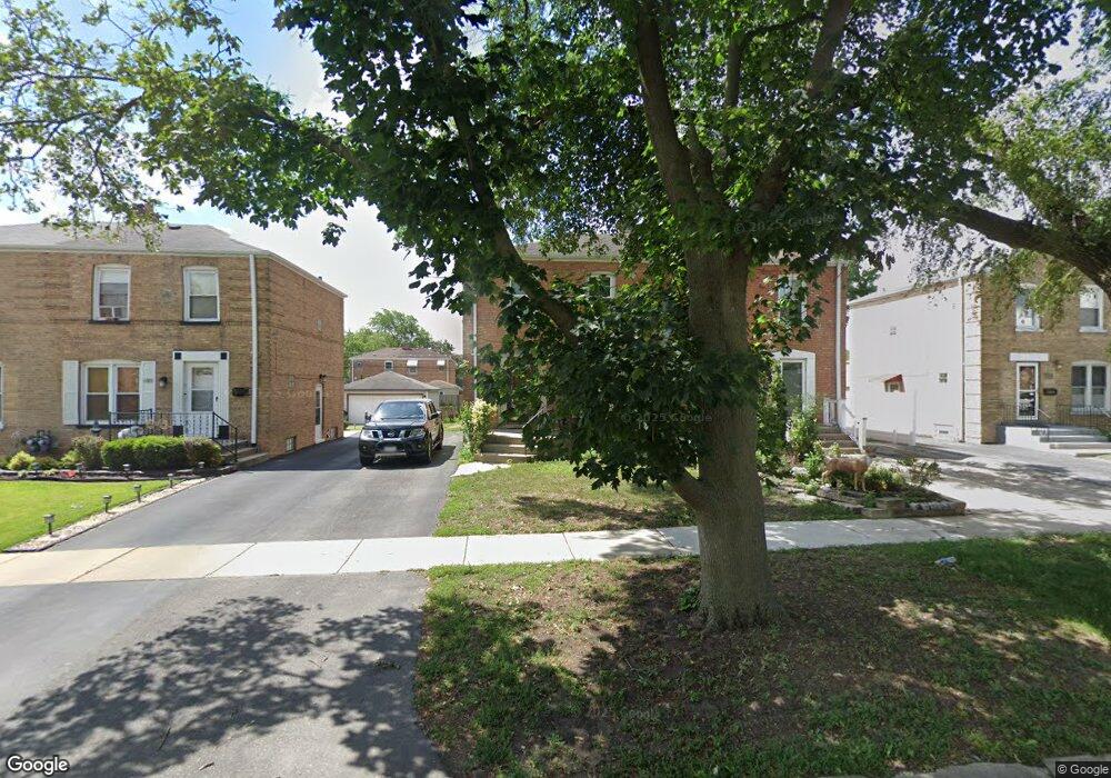
1775 Stockton Ave Des Plaines, IL 60018
Estimated Value: $230,000 - $351,000
3
Beds
1
Bath
996
Sq Ft
$283/Sq Ft
Est. Value
About This Home
This home is located at 1775 Stockton Ave, Des Plaines, IL 60018 and is currently estimated at $282,145, approximately $283 per square foot. 1775 Stockton Ave is a home located in Cook County with nearby schools including South Elementary School, Algonquin Middle School, and Maine West High School.
Ownership History
Date
Name
Owned For
Owner Type
Purchase Details
Closed on
Jul 13, 1999
Sold by
Harvat Joseph M and Harvat Marie E
Bought by
Delgadillo Ramiro and Delgadillo Hermelinda
Current Estimated Value
Home Financials for this Owner
Home Financials are based on the most recent Mortgage that was taken out on this home.
Original Mortgage
$130,550
Interest Rate
7.68%
Mortgage Type
FHA
Purchase Details
Closed on
Jan 30, 1995
Sold by
Simmons Anne K
Bought by
Harvat Joseph M and Ganas Marie E
Home Financials for this Owner
Home Financials are based on the most recent Mortgage that was taken out on this home.
Original Mortgage
$97,000
Interest Rate
9.21%
Create a Home Valuation Report for This Property
The Home Valuation Report is an in-depth analysis detailing your home's value as well as a comparison with similar homes in the area
Home Values in the Area
Average Home Value in this Area
Purchase History
| Date | Buyer | Sale Price | Title Company |
|---|---|---|---|
| Delgadillo Ramiro | $131,500 | -- | |
| Harvat Joseph M | $117,000 | Heritage Title Company |
Source: Public Records
Mortgage History
| Date | Status | Borrower | Loan Amount |
|---|---|---|---|
| Open | Delgadillo Ramiro | $130,550 | |
| Previous Owner | Harvat Joseph M | $97,000 |
Source: Public Records
Tax History Compared to Growth
Tax History
| Year | Tax Paid | Tax Assessment Tax Assessment Total Assessment is a certain percentage of the fair market value that is determined by local assessors to be the total taxable value of land and additions on the property. | Land | Improvement |
|---|---|---|---|---|
| 2024 | $4,662 | $21,000 | $3,500 | $17,500 |
| 2023 | $4,523 | $21,000 | $3,500 | $17,500 |
| 2022 | $4,523 | $21,000 | $3,500 | $17,500 |
| 2021 | $3,727 | $15,455 | $2,271 | $13,184 |
| 2020 | $3,733 | $15,455 | $2,271 | $13,184 |
| 2019 | $3,751 | $17,366 | $2,271 | $15,095 |
| 2018 | $3,674 | $15,719 | $1,998 | $13,721 |
| 2017 | $3,626 | $15,719 | $1,998 | $13,721 |
| 2016 | $3,674 | $15,719 | $1,998 | $13,721 |
| 2015 | $3,195 | $13,190 | $1,726 | $11,464 |
| 2014 | $3,287 | $13,675 | $1,726 | $11,949 |
| 2013 | $3,187 | $13,675 | $1,726 | $11,949 |
Source: Public Records
Map
Nearby Homes
- 1776 Stockton Ave
- 1765 Prospect Ave
- 2054 Birch St
- 1895 Welwyn Ave
- 1772 Birch St
- 1721 Linden St
- 1928 Kennicott Ct
- 2104 S River Rd
- 1543 Cooper St
- 1668 S Cora St
- 2061 Pine St Unit C
- 2017 Pine St Unit B
- 1857 Pine St
- 1828 E Lincoln Ave
- 2131 Ash St Unit G
- 1641 E Touhy Ave
- 1629 E Touhy Ave
- 1624 Estes Ave
- 2462 S Scott St
- 2055 Lee St
- 1783 Stockton Ave
- 1773 Stockton Ave
- 1765 Stockton Ave
- 1785 Stockton Ave
- 1763 Stockton Ave
- 1795 Stockton Ave
- 1797 Stockton Ave
- 1755 Stockton Ave
- 1753 Stockton Ave
- 1774 Stockton Ave
- 1784 Stockton Ave
- 1764 Stockton Ave
- 1774 Howard Ave
- 1766 Stockton Ave
- 1745 Stockton Ave
- 1786 Stockton Ave
- 1756 Stockton Ave
- 1796 Stockton Ave
- 1776 Howard Ave
- 1784 Howard Ave