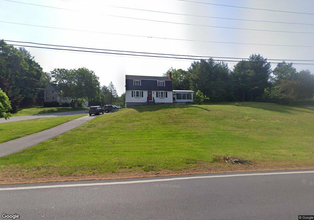
178 South Rd Londonderry, NH 03053
Estimated Value: $577,296 - $632,000
3
Beds
2
Baths
1,762
Sq Ft
$348/Sq Ft
Est. Value
About This Home
This home is located at 178 South Rd, Londonderry, NH 03053 and is currently estimated at $612,324, approximately $347 per square foot. 178 South Rd is a home located in Rockingham County with nearby schools including Londonderry Middle School, Londonderry Senior High School, and Next Charter School.
Ownership History
Date
Name
Owned For
Owner Type
Purchase Details
Closed on
Nov 21, 2011
Sold by
Costello Francis P and Costello Bernadette R
Bought by
Silke Mark R and Silke Correen L
Current Estimated Value
Home Financials for this Owner
Home Financials are based on the most recent Mortgage that was taken out on this home.
Original Mortgage
$232,356
Outstanding Balance
$160,193
Interest Rate
4.25%
Mortgage Type
FHA
Estimated Equity
$452,131
Create a Home Valuation Report for This Property
The Home Valuation Report is an in-depth analysis detailing your home's value as well as a comparison with similar homes in the area
Home Values in the Area
Average Home Value in this Area
Purchase History
| Date | Buyer | Sale Price | Title Company |
|---|---|---|---|
| Silke Mark R | $238,400 | -- |
Source: Public Records
Mortgage History
| Date | Status | Borrower | Loan Amount |
|---|---|---|---|
| Open | Silke Mark R | $232,356 | |
| Previous Owner | Silke Mark R | $40,000 |
Source: Public Records
Tax History Compared to Growth
Tax History
| Year | Tax Paid | Tax Assessment Tax Assessment Total Assessment is a certain percentage of the fair market value that is determined by local assessors to be the total taxable value of land and additions on the property. | Land | Improvement |
|---|---|---|---|---|
| 2024 | $7,563 | $468,600 | $201,300 | $267,300 |
| 2023 | $7,334 | $468,600 | $201,300 | $267,300 |
| 2022 | $6,782 | $367,000 | $150,900 | $216,100 |
| 2021 | $6,745 | $367,000 | $150,900 | $216,100 |
| 2020 | $6,365 | $316,500 | $113,100 | $203,400 |
| 2019 | $6,137 | $316,500 | $113,100 | $203,400 |
| 2018 | $5,727 | $262,700 | $94,400 | $168,300 |
| 2017 | $5,720 | $264,700 | $94,400 | $170,300 |
| 2016 | $5,691 | $264,700 | $94,400 | $170,300 |
| 2015 | $5,564 | $264,700 | $94,400 | $170,300 |
| 2014 | $5,583 | $264,700 | $94,400 | $170,300 |
| 2011 | -- | $269,300 | $94,400 | $174,900 |
Source: Public Records
Map
Nearby Homes
- 24 Sheffield Way
- 13 Gamache Rd
- 83 Beech Terrace
- 66 Derryfield Rd Unit L
- 12 Morrison Dr
- 3 Elise Ave Unit 95
- 12 Elise Ave Unit 6
- 14 Elise Ave Unit 7
- 90L Derryfield Rd
- 90L Derryfield Rd Unit L
- 8 Elise Ave Unit Lot 4
- 14 Reed St
- 7 Elise Ave Unit Lot 93
- 5 Elise Ave Unit Lot 94
- 36 Elise Ave Unit Lot 18
- 1 Elise Ave Unit Lot 96
- 40 Elise Ave Unit Lot 20
- 1 Joan St
- 65 Fordway Extension Unit 211
- 7 Oakwood St
- 176 South Rd
- 2 Ringe Rd
- 4 Ringe Rd Unit R
- 4 Ringe Rd Unit L
- 1 Ringe Rd Unit R
- 1 Ringe Rd Unit L
- 174 South Rd
- 175 South Rd
- 184 South Rd
- 6 Ringe Rd Unit R
- 6 Ringe Rd Unit L
- 6 Ringe Rd Unit 6L
- 6 Ringe Rd Unit L
- 6 Ringe Rd
- 6 Ringe Rd
- 6L Ringe Rd R 150
- 4 Millstone Cir
- 5 Rocco Dr Unit R
- 3 Rocco Dr Unit R
- 3 Rocco Dr Unit L