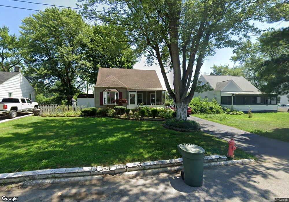
1780 Lancashire Rd Columbus, OH 43219
Brittany Hills NeighborhoodEstimated Value: $139,210 - $189,000
3
Beds
1
Bath
1,072
Sq Ft
$154/Sq Ft
Est. Value
About This Home
This home is located at 1780 Lancashire Rd, Columbus, OH 43219 and is currently estimated at $164,553, approximately $153 per square foot. 1780 Lancashire Rd is a home located in Franklin County with nearby schools including South Mifflin Stem Academy (K-6), Linden-Mckinley Stem School On Arcadia, and Cesar Chavez College Preparatory School.
Ownership History
Date
Name
Owned For
Owner Type
Purchase Details
Closed on
Jun 7, 2007
Sold by
Cross Rebecca
Bought by
White Willie and Cross Rebecca
Current Estimated Value
Home Financials for this Owner
Home Financials are based on the most recent Mortgage that was taken out on this home.
Original Mortgage
$76,500
Outstanding Balance
$46,835
Interest Rate
6.2%
Mortgage Type
Purchase Money Mortgage
Estimated Equity
$117,718
Purchase Details
Closed on
May 12, 1976
Bought by
Cross Rebecca
Create a Home Valuation Report for This Property
The Home Valuation Report is an in-depth analysis detailing your home's value as well as a comparison with similar homes in the area
Home Values in the Area
Average Home Value in this Area
Purchase History
| Date | Buyer | Sale Price | Title Company |
|---|---|---|---|
| White Willie | -- | Southeast Equity Title | |
| Cross Rebecca | -- | -- |
Source: Public Records
Mortgage History
| Date | Status | Borrower | Loan Amount |
|---|---|---|---|
| Open | White Willie | $76,500 |
Source: Public Records
Tax History Compared to Growth
Tax History
| Year | Tax Paid | Tax Assessment Tax Assessment Total Assessment is a certain percentage of the fair market value that is determined by local assessors to be the total taxable value of land and additions on the property. | Land | Improvement |
|---|---|---|---|---|
| 2024 | $1,111 | $34,550 | $7,980 | $26,570 |
| 2023 | $1,125 | $34,545 | $7,980 | $26,565 |
| 2022 | $630 | $20,900 | $2,630 | $18,270 |
| 2021 | $631 | $20,900 | $2,630 | $18,270 |
| 2020 | $632 | $20,900 | $2,630 | $18,270 |
| 2019 | $471 | $16,520 | $2,100 | $14,420 |
| 2018 | $548 | $16,520 | $2,100 | $14,420 |
| 2017 | $471 | $16,520 | $2,100 | $14,420 |
| 2016 | $689 | $19,150 | $2,630 | $16,520 |
| 2015 | $625 | $19,150 | $2,630 | $16,520 |
| 2014 | $627 | $19,150 | $2,630 | $16,520 |
| 2013 | $372 | $21,245 | $2,905 | $18,340 |
Source: Public Records
Map
Nearby Homes
- 1794 Devonshire Rd
- 1808 Brentnell Ave
- 1882 Dunning Rd
- 1790 Marston Rd
- 2398 Dunkirk Dr
- 2336 Edenburgh Dr S
- 1789 Marston Rd
- 2228 Holt Ave
- 2483 Vendome Dr
- 2471 Mock Rd
- 0 Mock Rd
- 2363 Holt Ave
- 2424 Holt Ave
- 2054 Jermain Dr
- 1991 Woodland Ave
- 1978 Argyle Dr
- 0 Danby Dr
- 0 Rankin Ave Unit (Rear)
- 1860 Meadowlawn Dr Unit 75
- 2736 Bellero Way Unit 94
- 1772 Lancashire Rd
- 1788 Lancashire Rd
- 1764 Lancashire Rd
- 1796 Lancashire Rd
- 1781 Lancashire Rd
- 1756 Lancashire Rd
- 1789 Lancashire Rd
- 1773 Lancashire Rd
- 1804 Lancashire Rd
- 1765 Lancashire Rd
- 1797 Lancashire Rd
- 1748 Lancashire Rd
- 1810 Lancashire Rd
- 1757 Lancashire Rd
- 1805 Lancashire Rd
- 1786 Devonshire Rd
- 1749 Lancashire Rd
- 1813 Lancashire Rd
- 1778 Devonshire Rd
- 1740 Lancashire Rd