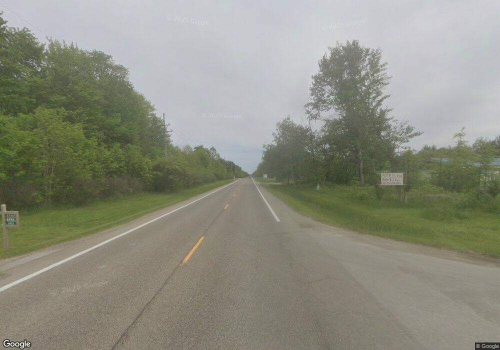
17802 State Route 322 Windsor, OH 44099
Estimated Value: $193,370 - $362,000
3
Beds
1
Bath
2,006
Sq Ft
$127/Sq Ft
Est. Value
About This Home
This home is located at 17802 State Route 322, Windsor, OH 44099 and is currently estimated at $255,343, approximately $127 per square foot. 17802 State Route 322 is a home with nearby schools including Jordak Elementary School, Cardinal Middle School, and Cardinal High School.
Ownership History
Date
Name
Owned For
Owner Type
Purchase Details
Closed on
Mar 8, 2001
Sold by
Trent Nellie
Bought by
Wright Todd A
Current Estimated Value
Home Financials for this Owner
Home Financials are based on the most recent Mortgage that was taken out on this home.
Original Mortgage
$110,269
Outstanding Balance
$40,633
Interest Rate
7.18%
Mortgage Type
FHA
Estimated Equity
$214,710
Purchase Details
Closed on
Jan 1, 1990
Bought by
Trent Harold L and Trent Nellie
Create a Home Valuation Report for This Property
The Home Valuation Report is an in-depth analysis detailing your home's value as well as a comparison with similar homes in the area
Home Values in the Area
Average Home Value in this Area
Purchase History
| Date | Buyer | Sale Price | Title Company |
|---|---|---|---|
| Wright Todd A | $112,000 | Cleveland Title | |
| Trent Harold L | -- | -- |
Source: Public Records
Mortgage History
| Date | Status | Borrower | Loan Amount |
|---|---|---|---|
| Open | Wright Todd A | $110,269 |
Source: Public Records
Tax History Compared to Growth
Tax History
| Year | Tax Paid | Tax Assessment Tax Assessment Total Assessment is a certain percentage of the fair market value that is determined by local assessors to be the total taxable value of land and additions on the property. | Land | Improvement |
|---|---|---|---|---|
| 2024 | $1,726 | $44,800 | $6,300 | $38,500 |
| 2023 | $1,726 | $44,800 | $6,300 | $38,500 |
| 2022 | $1,549 | $32,170 | $5,250 | $26,920 |
| 2021 | $1,449 | $32,170 | $5,250 | $26,920 |
| 2020 | $1,498 | $32,170 | $5,250 | $26,920 |
| 2019 | $1,424 | $28,250 | $5,250 | $23,000 |
| 2018 | $1,423 | $28,250 | $5,250 | $23,000 |
| 2017 | $1,424 | $28,250 | $5,250 | $23,000 |
| 2016 | $1,400 | $31,470 | $5,250 | $26,220 |
| 2015 | $1,327 | $31,470 | $5,250 | $26,220 |
| 2014 | $1,327 | $31,470 | $5,250 | $26,220 |
| 2013 | $1,358 | $31,470 | $5,250 | $26,220 |
Source: Public Records
Map
Nearby Homes
- 12234 Madison Rd
- 13105 Madison Rd
- 16270 Mayfield Rd
- 6563 Hyde Rd
- 5723 Stoneville Rd
- 0 Fletcher Rd
- 11179 Madison Rd
- 10961 Madison Rd
- V/L Noble Rd
- 7280 New Hudson Rd
- VL Clay St
- 0 New Hudson Rd
- 10268 Madison Rd
- V/L Fortney Rd
- 10525 Clay St
- 13137 Old State Rd
- 16298 Weathervane Dr
- 14706 Steeplechase Dr
- 5691 U S 6
- 5484 State Route 534
- 17814 Mayfield Rd
- 0 Flowerside Rd
- 12277 Flowerside Rd
- 17737 State Route 322
- 12276 Flowerside Rd
- 17726 Mayfield Rd
- 17726 Mayfield Rd
- 12420 Bundysburg Rd
- 17716 State Route 322
- 17719 State Route 322
- 17706 Mayfield Rd
- 12450 Bundysburg Rd
- 12228 Flowerside Rd
- 7019 State Route 322
- 12268 Flowerside Rd
- 12466 Bundysburg Rd
- 6988 State Route 322
- 7930 Bundysburg Rd
- 7930 Townline Rd
- 17620 State Route 322
