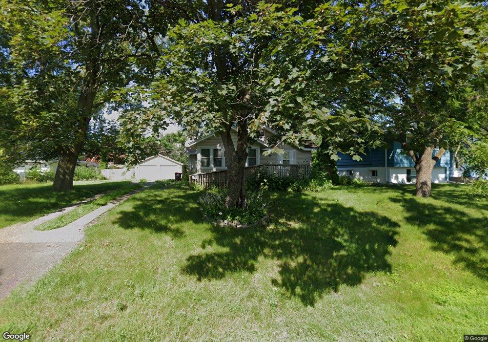
1789 Frank St Saint Paul, MN 55109
Gladstone NeighborhoodEstimated Value: $289,000 - $295,000
2
Beds
1
Bath
247
Sq Ft
$1,180/Sq Ft
Est. Value
About This Home
This home is located at 1789 Frank St, Saint Paul, MN 55109 and is currently estimated at $291,421, approximately $1,179 per square foot. 1789 Frank St is a home located in Ramsey County with nearby schools including Weaver Elementary School, John Glenn Middle School, and Mounds Park Academy.
Ownership History
Date
Name
Owned For
Owner Type
Purchase Details
Closed on
Oct 29, 2018
Sold by
Roungou Theodore G
Bought by
Heintz Samuel W
Current Estimated Value
Home Financials for this Owner
Home Financials are based on the most recent Mortgage that was taken out on this home.
Original Mortgage
$165,000
Interest Rate
4.8%
Mortgage Type
New Conventional
Create a Home Valuation Report for This Property
The Home Valuation Report is an in-depth analysis detailing your home's value as well as a comparison with similar homes in the area
Home Values in the Area
Average Home Value in this Area
Purchase History
| Date | Buyer | Sale Price | Title Company |
|---|---|---|---|
| Heintz Samuel W | $186,000 | Signature Closing & Title In |
Source: Public Records
Mortgage History
| Date | Status | Borrower | Loan Amount |
|---|---|---|---|
| Previous Owner | Heintz Samuel W | $165,000 |
Source: Public Records
Tax History Compared to Growth
Tax History
| Year | Tax Paid | Tax Assessment Tax Assessment Total Assessment is a certain percentage of the fair market value that is determined by local assessors to be the total taxable value of land and additions on the property. | Land | Improvement |
|---|---|---|---|---|
| 2025 | $2,920 | $285,800 | $63,700 | $222,100 |
| 2023 | $2,920 | $220,100 | $63,700 | $156,400 |
| 2022 | $2,558 | $217,700 | $63,700 | $154,000 |
| 2021 | $2,574 | $188,100 | $63,700 | $124,400 |
| 2020 | $2,690 | $192,500 | $63,700 | $128,800 |
| 2019 | $2,394 | $187,900 | $63,700 | $124,200 |
| 2018 | $2,204 | $172,700 | $63,700 | $109,000 |
| 2017 | $2,206 | $157,600 | $63,700 | $93,900 |
| 2016 | $1,940 | $0 | $0 | $0 |
| 2015 | $1,926 | $137,700 | $58,400 | $79,300 |
| 2014 | $1,444 | $0 | $0 | $0 |
Source: Public Records
Map
Nearby Homes
- 1779 Frank St
- 1730 Atlantic St
- 1740 English St
- 1201 Frost Ave
- 1875 E Shore Dr Unit 302
- 1567 Atlantic St
- 1639 Clarence St
- 1562 Chamber St
- 1869 Birmingham St
- 1435 Price Ave
- 1651 Manton St
- 1672 Manton St
- 1854 Barclay St
- 1940 Barclay St
- 1439 Mcafee St
- 739 Maple Hills Dr E Unit H
- 727 Maple Hills Dr Unit A
- 2020 Arcade St
- 1377 Clarence St
- 1450 Arlington Ave E