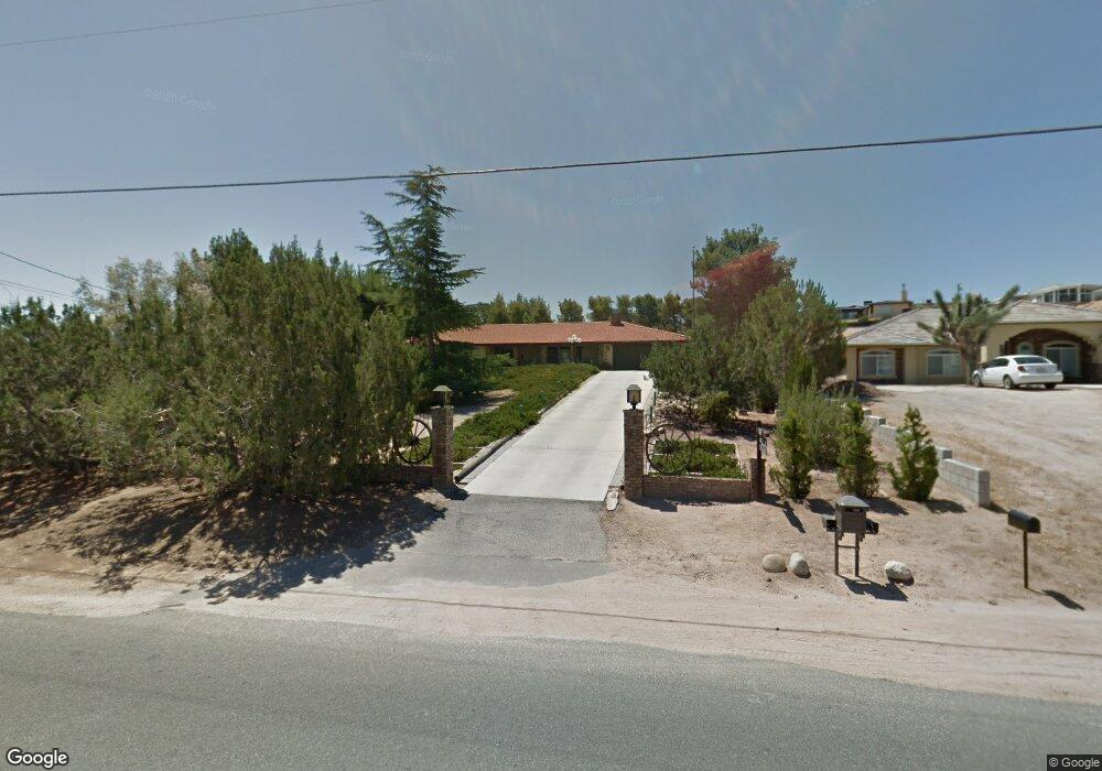
17899 Bangor Ave Hesperia, CA 92345
The Mesa NeighborhoodEstimated Value: $481,642 - $561,000
3
Beds
3
Baths
2,454
Sq Ft
$205/Sq Ft
Est. Value
About This Home
This home is located at 17899 Bangor Ave, Hesperia, CA 92345 and is currently estimated at $504,161, approximately $205 per square foot. 17899 Bangor Ave is a home located in San Bernardino County with nearby schools including Lime Street Elementary School, Ranchero Middle School, and Sultana High School.
Ownership History
Date
Name
Owned For
Owner Type
Purchase Details
Closed on
Oct 10, 1995
Sold by
Grube Bruce W
Bought by
Tyree Heraldin C and Tyree Patricia M
Current Estimated Value
Home Financials for this Owner
Home Financials are based on the most recent Mortgage that was taken out on this home.
Original Mortgage
$72,500
Outstanding Balance
$508
Interest Rate
7.59%
Mortgage Type
Seller Take Back
Estimated Equity
$503,653
Purchase Details
Closed on
Oct 19, 1993
Sold by
Grube Bruce W
Bought by
Grube Bruce W and Grube Rute
Create a Home Valuation Report for This Property
The Home Valuation Report is an in-depth analysis detailing your home's value as well as a comparison with similar homes in the area
Home Values in the Area
Average Home Value in this Area
Purchase History
| Date | Buyer | Sale Price | Title Company |
|---|---|---|---|
| Tyree Heraldin C | $132,500 | First American Title Ins Co | |
| Grube Bruce W | -- | -- |
Source: Public Records
Mortgage History
| Date | Status | Borrower | Loan Amount |
|---|---|---|---|
| Open | Tyree Heraldin C | $72,500 |
Source: Public Records
Tax History Compared to Growth
Tax History
| Year | Tax Paid | Tax Assessment Tax Assessment Total Assessment is a certain percentage of the fair market value that is determined by local assessors to be the total taxable value of land and additions on the property. | Land | Improvement |
|---|---|---|---|---|
| 2025 | $2,264 | $207,576 | $19,161 | $188,415 |
| 2024 | $2,264 | $203,506 | $18,785 | $184,721 |
| 2023 | $2,240 | $199,516 | $18,417 | $181,099 |
| 2022 | $2,189 | $195,604 | $18,056 | $177,548 |
| 2021 | $2,149 | $191,769 | $17,702 | $174,067 |
| 2020 | $2,124 | $189,802 | $17,520 | $172,282 |
| 2019 | $2,080 | $186,080 | $17,176 | $168,904 |
| 2018 | $2,041 | $182,431 | $16,839 | $165,592 |
| 2017 | $2,005 | $178,854 | $16,509 | $162,345 |
| 2016 | $1,963 | $175,347 | $16,185 | $159,162 |
| 2015 | $1,938 | $172,713 | $15,942 | $156,771 |
| 2014 | $1,913 | $169,330 | $15,630 | $153,700 |
Source: Public Records
Map
Nearby Homes
- 18016 Westlawn St
- 18124 Westlawn St
- 17788 Buckthorn Ave
- 8871 Avocado Ave
- 17601 Bangor Ave
- 18169 Danbury Ave
- 18236 Danbury Ave
- 17539 Adobe St
- 8926 Avocado Ave
- 17550 Buckthorn Ave
- 8167 Windsor Ave
- 8925 Buckthorn Ave
- 8951 Grapefruit Ave
- 18146 Orange St
- 18303 Westlawn St
- 8960 Buckthorn Ave
- 18221 Orange St
- 8150 Minstead Ave
- 17520 Aspen St
- 18401 Westlawn St
- 17881 Bangor Ave
- 17911 Bangor Ave
- 17867 Bangor Ave
- 17936 Hinton St
- 17906 Hinton St
- 17898 Bangor Ave
- 17851 Bangor Ave
- 17968 Hinton St
- 17886 Bangor Ave
- 17850 Hinton St
- 17922 Hinton St
- 17985 Palm Dr
- 17982 Hinton St
- 17831 Bangor Ave
- 17850 Folsom Ct
- 17925 Hinton St
- 17939 Hinton St
- 17905 Hinton St
- 17991 Palm Dr