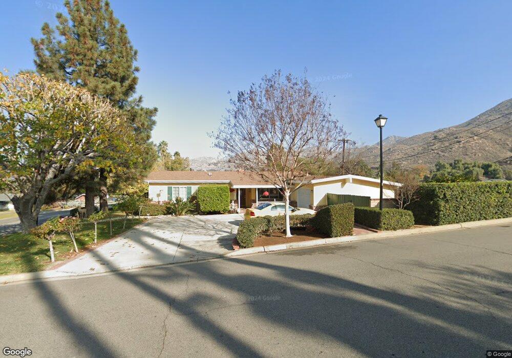
179 E Broadbent Dr Riverside, CA 92507
University NeighborhoodEstimated Value: $576,665 - $618,000
3
Beds
2
Baths
1,495
Sq Ft
$404/Sq Ft
Est. Value
About This Home
This home is located at 179 E Broadbent Dr, Riverside, CA 92507 and is currently estimated at $603,416, approximately $403 per square foot. 179 E Broadbent Dr is a home located in Riverside County with nearby schools including Highland Elementary, University Heights Middle School, and John W. North High School.
Ownership History
Date
Name
Owned For
Owner Type
Purchase Details
Closed on
Apr 5, 2002
Sold by
Wilson Angela M
Bought by
Wilson David Paul and Wilson Angela M
Current Estimated Value
Purchase Details
Closed on
Nov 11, 1997
Sold by
Wilson David P
Bought by
Wilson Angela M
Home Financials for this Owner
Home Financials are based on the most recent Mortgage that was taken out on this home.
Original Mortgage
$90,000
Interest Rate
7.22%
Mortgage Type
Purchase Money Mortgage
Create a Home Valuation Report for This Property
The Home Valuation Report is an in-depth analysis detailing your home's value as well as a comparison with similar homes in the area
Home Values in the Area
Average Home Value in this Area
Purchase History
| Date | Buyer | Sale Price | Title Company |
|---|---|---|---|
| Wilson David Paul | -- | Stewart Title | |
| Wilson Angela M | -- | Stewart Title |
Source: Public Records
Mortgage History
| Date | Status | Borrower | Loan Amount |
|---|---|---|---|
| Closed | Wilson Angela M | $90,000 |
Source: Public Records
Tax History
| Year | Tax Paid | Tax Assessment Tax Assessment Total Assessment is a certain percentage of the fair market value that is determined by local assessors to be the total taxable value of land and additions on the property. | Land | Improvement |
|---|---|---|---|---|
| 2025 | $2,118 | $198,359 | $72,122 | $126,237 |
| 2023 | $2,118 | $190,658 | $69,322 | $121,336 |
| 2022 | $2,068 | $186,920 | $67,963 | $118,957 |
| 2021 | $2,051 | $183,256 | $66,631 | $116,625 |
| 2020 | $2,034 | $181,378 | $65,948 | $115,430 |
| 2019 | $1,995 | $177,822 | $64,655 | $113,167 |
| 2018 | $1,956 | $174,337 | $63,389 | $110,948 |
| 2017 | $1,920 | $170,920 | $62,147 | $108,773 |
| 2016 | $1,799 | $167,570 | $60,929 | $106,641 |
| 2015 | $1,772 | $165,055 | $60,015 | $105,040 |
| 2014 | $1,753 | $161,825 | $58,841 | $102,984 |
Source: Public Records
Map
Nearby Homes
- 134 W Broadbent Dr
- 4360 Watkins Dr
- 4495 Mt Vernon Ave
- 7 Gage
- 20682 Hill Top Dr
- 3314 Celeste Dr
- 461 W Blaine St
- 208 Deborah Ct
- 2935 Galaxie Heights Rd
- 3000 Galaxie Rd
- 587 W Blaine St
- 511 Athens St
- 0 Pettegrew Rd Unit IV25281686
- 5110 Caldera Ct
- 375 Central Ave Unit 124
- 375 Central Ave Unit 78
- 375 Central Ave Unit 14
- 375 Central Ave Unit 24
- 375 Central Ave Unit 83
- 20079 Westpoint Dr
- 4114 Haverford Ave
- 4090 Haverford Ave
- 165 E Broadbent Dr
- 4109 Haverford Ave
- 170 E Broadbent Dr
- 4085 Haverford Ave
- 4175 Quail Rd
- 164 E Broadbent Dr
- 153 E Broadbent Dr
- 4110 Havenhurst Ave
- 4067 Haverford Ave
- 4168 Quail Rd
- 4054 Haverford Ave
- 4086 Havenhurst Ave
- 4045 Haverford Ave
- 4066 Havenhurst Ave
- 144 E Broadbent Dr
- 4196 Quail Rd
- 4030 Haverford Ave
- 4044 Havenhurst Ave
Your Personal Tour Guide
Ask me questions while you tour the home.