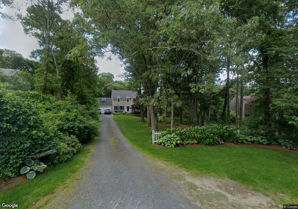
179 Percival Dr West Barnstable, MA 02668
West Barnstable NeighborhoodEstimated Value: $900,000 - $989,000
3
Beds
3
Baths
2,760
Sq Ft
$344/Sq Ft
Est. Value
About This Home
This home is located at 179 Percival Dr, West Barnstable, MA 02668 and is currently estimated at $948,646, approximately $343 per square foot. 179 Percival Dr is a home located in Barnstable County with nearby schools including West Barnstable Elementary School, Barnstable United Elementary School, and Barnstable Intermediate School.
Ownership History
Date
Name
Owned For
Owner Type
Purchase Details
Closed on
Oct 6, 2009
Sold by
Cosgrove Guy F and Cosgrove Suzanne L
Bought by
Cosgrove Guy F
Current Estimated Value
Home Financials for this Owner
Home Financials are based on the most recent Mortgage that was taken out on this home.
Original Mortgage
$388,000
Interest Rate
5.12%
Mortgage Type
Purchase Money Mortgage
Purchase Details
Closed on
Dec 2, 1996
Sold by
Tartan Inc
Bought by
Cosgrove Guy F
Create a Home Valuation Report for This Property
The Home Valuation Report is an in-depth analysis detailing your home's value as well as a comparison with similar homes in the area
Home Values in the Area
Average Home Value in this Area
Purchase History
| Date | Buyer | Sale Price | Title Company |
|---|---|---|---|
| Cosgrove Guy F | -- | -- | |
| Cosgrove Guy F | $167,900 | -- |
Source: Public Records
Mortgage History
| Date | Status | Borrower | Loan Amount |
|---|---|---|---|
| Open | Cosgrove Guy F | $410,000 | |
| Closed | Cosgrove Guy F | $388,000 | |
| Previous Owner | Cosgrove Guy F | $250,000 | |
| Previous Owner | Cosgrove Guy F | $200,000 |
Source: Public Records
Tax History Compared to Growth
Tax History
| Year | Tax Paid | Tax Assessment Tax Assessment Total Assessment is a certain percentage of the fair market value that is determined by local assessors to be the total taxable value of land and additions on the property. | Land | Improvement |
|---|---|---|---|---|
| 2025 | $7,909 | $846,800 | $245,000 | $601,800 |
| 2024 | $6,998 | $815,600 | $245,000 | $570,600 |
| 2023 | $6,666 | $731,700 | $222,800 | $508,900 |
| 2022 | $6,546 | $589,200 | $153,200 | $436,000 |
| 2021 | $6,275 | $535,400 | $155,600 | $379,800 |
| 2020 | $6,212 | $512,500 | $155,600 | $356,900 |
| 2019 | $5,951 | $484,600 | $165,000 | $319,600 |
| 2018 | $5,839 | $471,300 | $192,300 | $279,000 |
| 2017 | $5,616 | $458,800 | $192,300 | $266,500 |
| 2016 | $5,481 | $457,100 | $190,600 | $266,500 |
| 2015 | $5,343 | $446,700 | $190,700 | $256,000 |
Source: Public Records
Map
Nearby Homes
- 183 Percival Dr
- 173 Percival Dr
- 52 Coventry Ln
- 189 Percival Dr
- 46 Coventry Ln
- 199 Percival Dr
- 163 Percival Dr
- 51 Coventry Ln
- 159 Percival Dr
- 209 Percival Dr
- 47 Coventry Ln
- 215 Percival Dr
- 120 Crocker Rd
- 5 Lancaster Way
- 160 Percival Dr
- 149 Percival Dr
- 35 Coventry Ln
- 104 Crocker Rd
- 10 Wayside Ln
- 140 Crocker Rd