Estimated Value: $465,492
--
Bed
2
Baths
3,456
Sq Ft
$135/Sq Ft
Est. Value
About This Home
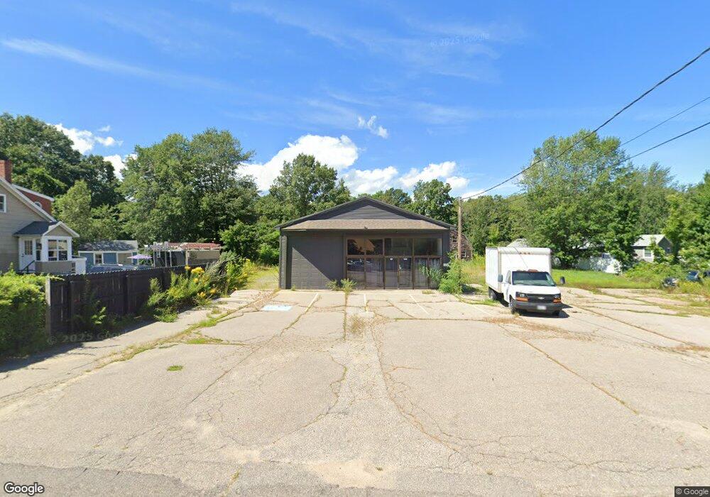
This home is located at 179 Sanford Rd, Wells, ME 04090 and is currently estimated at $465,492, approximately $134 per square foot. 179 Sanford Rd is a home located in York County with nearby schools including Wells Elementary School, Wells Junior High School, and Wells High School.
Ownership History
Date
Name
Owned For
Owner Type
Purchase Details
Closed on
Sep 23, 2020
Sold by
Roger E Conley T E and Roger Conley
Bought by
Kgsd Llc
Current Estimated Value
Home Financials for this Owner
Home Financials are based on the most recent Mortgage that was taken out on this home.
Original Mortgage
$240,000
Outstanding Balance
$212,014
Interest Rate
2.9%
Mortgage Type
New Conventional
Estimated Equity
$253,478
Purchase Details
Closed on
May 27, 2011
Sold by
Baker Shannon R and Kennebunk Savings Bank
Bought by
Kennebunk Savings Bank
Create a Home Valuation Report for This Property
The Home Valuation Report is an in-depth analysis detailing your home's value as well as a comparison with similar homes in the area
Home Values in the Area
Average Home Value in this Area
Purchase History
| Date | Buyer | Sale Price | Title Company |
|---|---|---|---|
| Kgsd Llc | -- | None Available | |
| Kgsd Llc | -- | None Available | |
| Kgsd Llc | -- | None Available | |
| Kgsd Llc | -- | None Available | |
| Kennebunk Savings Bank | $165,151 | -- | |
| Kennebunk Savings Bank | $165,151 | -- |
Source: Public Records
Mortgage History
| Date | Status | Borrower | Loan Amount |
|---|---|---|---|
| Open | Kgsd Llc | $240,000 | |
| Closed | Kgsd Llc | $240,000 | |
| Previous Owner | Kennebunk Savings Bank | $40,000 |
Source: Public Records
Tax History Compared to Growth
Tax History
| Year | Tax Paid | Tax Assessment Tax Assessment Total Assessment is a certain percentage of the fair market value that is determined by local assessors to be the total taxable value of land and additions on the property. | Land | Improvement |
|---|---|---|---|---|
| 2024 | $3,326 | $547,040 | $369,900 | $177,140 |
| 2023 | $3,260 | $547,040 | $369,900 | $177,140 |
| 2022 | $3,104 | $296,750 | $167,900 | $128,850 |
| 2021 | $3,122 | $296,750 | $167,900 | $128,850 |
| 2020 | $3,044 | $290,490 | $167,900 | $122,590 |
| 2019 | $3,027 | $290,490 | $167,900 | $122,590 |
| 2018 | $2,401 | $271,720 | $167,900 | $103,820 |
| 2017 | $2,761 | $271,720 | $167,900 | $103,820 |
| 2016 | $2,734 | $271,720 | $167,900 | $103,820 |
| 2015 | $1,999 | $200,860 | $83,950 | $116,910 |
| 2013 | $2,092 | $229,370 | $167,900 | $61,470 |
Source: Public Records
Map
Nearby Homes
- 89 Skyline Cir
- 21 Whistle Stop Cir
- 47 Whistle Stop Cir
- 1413 Post Rd Unit 58
- 1372 Post Rd Unit 1C
- 392 Sanford Rd
- 417 Sanford Rd
- 1373 Post Rd Unit 10A
- 1373 Post Rd Unit 4E
- 1373 Post Rd Unit 2C
- 1373 Post Rd Unit 6B
- 1373 Post Rd Unit 1F
- 90 Poplar Park Dr
- 1351 Post Rd Unit 49
- 99 Harbor Rd Unit Lot 52
- 99 Harbor Rd Unit Lot 54
- 105 Harbor Rd
- 1762 Post Rd Unit 206
- 1762 Post Rd Unit 233
- 23 College Dr Unit 121