Estimated Value: $570,207 - $662,000
3
Beds
3
Baths
1,986
Sq Ft
$304/Sq Ft
Est. Value
About This Home
This home is located at 179 Timothy Cir Unit 26F, Wayne, PA 19087 and is currently estimated at $603,802, approximately $304 per square foot. 179 Timothy Cir Unit 26F is a home located in Montgomery County with nearby schools including Roberts Elementary School, Upper Merion Middle School, and Upper Merion High School.
Ownership History
Date
Name
Owned For
Owner Type
Purchase Details
Closed on
Dec 23, 2002
Sold by
Kurland Paul B and Nicola Insdorf
Bought by
Kurland Paul B
Current Estimated Value
Purchase Details
Closed on
Feb 28, 1995
Sold by
K Hovnanian At Upper Merion Inc
Bought by
Rosenstein Ace H and Rosenstein Barri H
Create a Home Valuation Report for This Property
The Home Valuation Report is an in-depth analysis detailing your home's value as well as a comparison with similar homes in the area
Home Values in the Area
Average Home Value in this Area
Purchase History
| Date | Buyer | Sale Price | Title Company |
|---|---|---|---|
| Kurland Paul B | -- | -- | |
| Kurland Nicola | -- | -- | |
| Kurland Paul B | -- | -- | |
| Rosenstein Ace H | $241,494 | -- |
Source: Public Records
Tax History Compared to Growth
Tax History
| Year | Tax Paid | Tax Assessment Tax Assessment Total Assessment is a certain percentage of the fair market value that is determined by local assessors to be the total taxable value of land and additions on the property. | Land | Improvement |
|---|---|---|---|---|
| 2025 | $6,869 | $222,930 | $49,160 | $173,770 |
| 2024 | $6,869 | $222,930 | $49,160 | $173,770 |
| 2023 | $6,627 | $222,930 | $49,160 | $173,770 |
| 2022 | $6,343 | $222,930 | $49,160 | $173,770 |
| 2021 | $6,147 | $222,930 | $49,160 | $173,770 |
| 2020 | $5,874 | $222,930 | $49,160 | $173,770 |
| 2019 | $5,773 | $222,930 | $49,160 | $173,770 |
| 2018 | $5,773 | $222,930 | $49,160 | $173,770 |
| 2017 | $5,566 | $222,930 | $49,160 | $173,770 |
| 2016 | $5,479 | $222,930 | $49,160 | $173,770 |
| 2015 | $5,479 | $222,930 | $49,160 | $173,770 |
| 2014 | $5,277 | $222,930 | $49,160 | $173,770 |
Source: Public Records
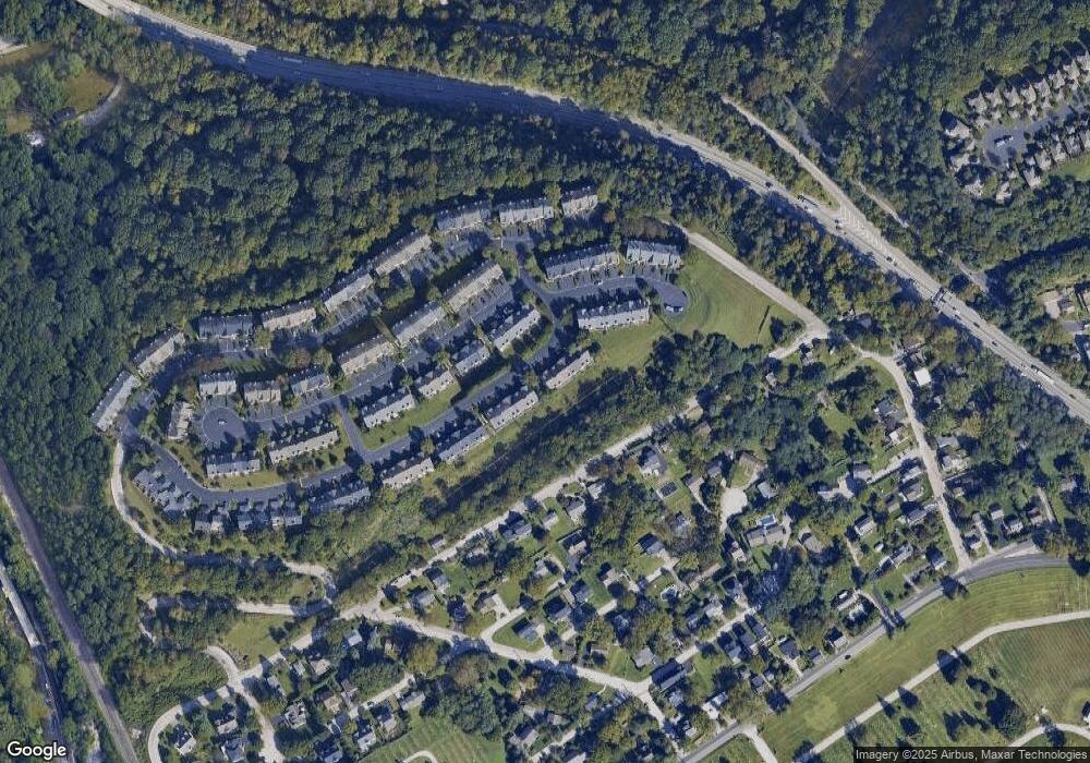
Map
Nearby Homes
- 223 Rebel Hill Rd
- 235 Valley Forge Lookout Place
- 1196 Rebel Hill Rd
- 1212 Rebel Hill Rd
- 105 Timothy Cir
- 97 Timothy Cir
- 1212 Lemonton Ct
- 117 Arden Rd
- 2 Arden Rd
- 4 Arden Rd
- 258 Tennessee Ave
- Lot 1 Arden Rd
- Lot 3 Arden Rd
- 188 Arden Rd
- 161 Lantern Ln
- 123 Gypsy Ln
- 156 Gypsy Ln
- 1266 Gulph Creek Dr
- 628 Ford St
- 627 Ford St
- 181 Timothy Cir Unit 26E
- 177 Timothy Cir
- 183 Timothy Cir Unit 26D
- 175 Timothy Cir Unit B
- 185 Timothy Cir
- 173 Timothy Cir
- 187 Timothy Cir Unit 26B
- 189 Timothy Cir
- 209 Valley Forge Lookout Place
- 207 Lookout Place Unit 24D
- 169 Timothy Cir
- 209 Lookout Place
- 207 Lookout Place
- 211 Lookout Place
- 203 Lookout Place
- 203 Lookout Place
- 213 Valley Forge Lookout Place
- 213 Lookout Place Unit 23A
- 271 Militia Dr
- 167 Timothy Cir