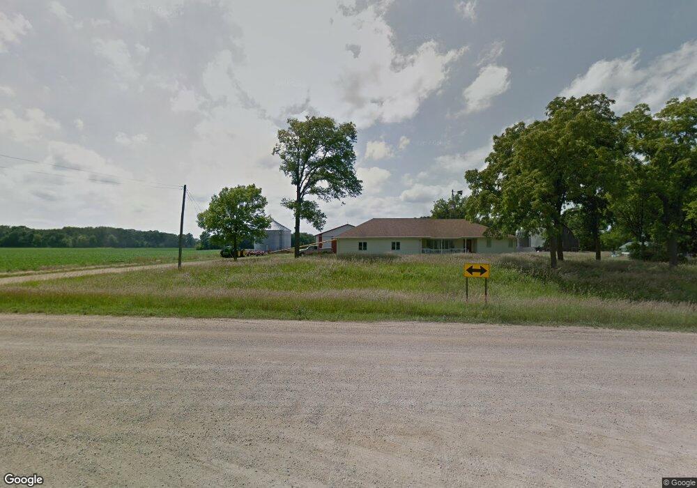
17902 552nd Ave Good Thunder, MN 56037
Estimated Value: $374,000 - $777,079
4
Beds
3
Baths
1,678
Sq Ft
$388/Sq Ft
Est. Value
About This Home
This home is located at 17902 552nd Ave, Good Thunder, MN 56037 and is currently estimated at $650,770, approximately $387 per square foot. 17902 552nd Ave is a home located in Blue Earth County with nearby schools including Lake Crystal Wellcome Memorial Elementary School and Lake Crystal Wellcome Memorial Secondary School.
Create a Home Valuation Report for This Property
The Home Valuation Report is an in-depth analysis detailing your home's value as well as a comparison with similar homes in the area
Home Values in the Area
Average Home Value in this Area
Tax History Compared to Growth
Tax History
| Year | Tax Paid | Tax Assessment Tax Assessment Total Assessment is a certain percentage of the fair market value that is determined by local assessors to be the total taxable value of land and additions on the property. | Land | Improvement |
|---|---|---|---|---|
| 2025 | $3,502 | $678,700 | $282,400 | $396,300 |
| 2024 | $3,502 | $699,500 | $302,800 | $396,700 |
| 2023 | $3,376 | $689,900 | $275,300 | $414,600 |
| 2022 | $3,178 | $627,300 | $235,900 | $391,400 |
| 2021 | $2,954 | $528,200 | $215,400 | $312,800 |
| 2020 | $2,862 | $500,700 | $212,800 | $287,900 |
| 2019 | $2,918 | $500,700 | $212,800 | $287,900 |
| 2018 | $2,712 | $498,200 | $201,600 | $296,600 |
| 2017 | $2,516 | $498,300 | $212,800 | $285,500 |
| 2016 | $2,532 | $475,900 | $212,800 | $263,100 |
| 2015 | $24 | $476,400 | $221,500 | $254,900 |
| 2014 | $2,488 | $250,100 | $50,000 | $200,100 |
Source: Public Records
Map
Nearby Homes
- 120 Mapleridge Dr
- 16280 552nd Ave
- 277 Red Ridge Rd
- 3136 River Meadows Dr
- 210 N Halladay St
- 57396 181st Ln
- 217 S Houk St
- 331 S Ewing St
- 55807 River Fort Dr
- 55856 River Fort Dr
- 16225 563rd Ave
- 57868 179th St
- 27 Capri Dr
- 50 Skyline Dr
- 0 Tbd South Brook Way
- 208 Chancery Ln
- 1723 5th St
- TBD S Brook Way
- 108 S Brook Way
- 213 Rosewood Dr