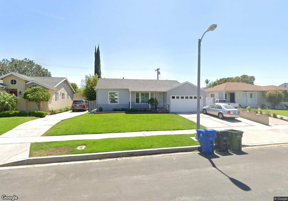
17912 Duncan St Encino, CA 91316
Estimated Value: $882,000 - $1,129,000
3
Beds
1
Bath
1,101
Sq Ft
$866/Sq Ft
Est. Value
About This Home
This home is located at 17912 Duncan St, Encino, CA 91316 and is currently estimated at $952,980, approximately $865 per square foot. 17912 Duncan St is a home located in Los Angeles County with nearby schools including Newcastle Elementary School, William Mulholland Middle, and Magnolia Science Academy 2.
Ownership History
Date
Name
Owned For
Owner Type
Purchase Details
Closed on
Oct 22, 2015
Sold by
Watkins Brian T
Bought by
Watkins Brian T and B Watkins Living Trust
Current Estimated Value
Purchase Details
Closed on
Nov 11, 2013
Sold by
Watkins Brian T
Bought by
Watkins Brian T
Purchase Details
Closed on
Apr 16, 2008
Sold by
Watkins Lee Ruth
Bought by
Watkins Lee
Purchase Details
Closed on
Jul 6, 2006
Sold by
Watkins Lee Ruth and Emma Lillian Hill Living Trust
Bought by
Watkins Lee Ruth
Create a Home Valuation Report for This Property
The Home Valuation Report is an in-depth analysis detailing your home's value as well as a comparison with similar homes in the area
Home Values in the Area
Average Home Value in this Area
Purchase History
| Date | Buyer | Sale Price | Title Company |
|---|---|---|---|
| Watkins Brian T | -- | None Available | |
| Watkins Brian T | -- | None Available | |
| Watkins Lee | -- | None Available | |
| Watkins Lee Ruth | -- | None Available |
Source: Public Records
Tax History Compared to Growth
Tax History
| Year | Tax Paid | Tax Assessment Tax Assessment Total Assessment is a certain percentage of the fair market value that is determined by local assessors to be the total taxable value of land and additions on the property. | Land | Improvement |
|---|---|---|---|---|
| 2025 | $3,466 | $269,161 | $103,793 | $165,368 |
| 2024 | $3,466 | $263,884 | $101,758 | $162,126 |
| 2023 | $3,403 | $258,711 | $99,763 | $158,948 |
| 2022 | $3,251 | $253,639 | $97,807 | $155,832 |
| 2021 | $3,209 | $248,667 | $95,890 | $152,777 |
| 2019 | $3,117 | $241,294 | $93,047 | $148,247 |
| 2018 | $3,039 | $236,564 | $91,223 | $145,341 |
| 2016 | $2,900 | $227,381 | $87,682 | $139,699 |
| 2015 | $2,859 | $223,966 | $86,365 | $137,601 |
| 2014 | $2,791 | $219,580 | $84,674 | $134,906 |
Source: Public Records
Map
Nearby Homes
- 6413 Jamieson Ave
- 6321 Alonzo Ave
- 18025 Victory Blvd
- 6517 Yarmouth Ave
- 6542 Zelzah Ave
- 6207 White Oak Ave
- 6257 Lindley Ave
- 6250 Lindley Ave
- 6616 Lindley Ave
- 6347 Wynne Ave
- 17642 Calvert St
- 17905 Bullock St
- 6160 Shoshone Ave
- 17650 Welby Way
- 18141 Topham St
- 5945 Hesperia Ave
- 17908 Califa St
- 18146 Oxnard St Unit 48
- 17941 Emelita St
- 17549 Bullock St
- 17918 Duncan St
- 17906 Duncan St
- 17900 Duncan St
- 17924 Duncan St
- 6372 Enfield Ave
- 17928 Duncan St
- 6373 Zelzah Ave
- 6378 Enfield Ave
- 6373 Enfield Ave
- 6379 Zelzah Ave
- 17934 Duncan St
- 17858 Duncan St
- 6379 Enfield Ave
- 6384 Enfield Ave
- 17940 Duncan St
- 17852 Duncan St
- 6385 Zelzah Ave
- 6372 Zelzah Ave
- 6372 Bertrand Ave
- 6387 Zelzah Ave