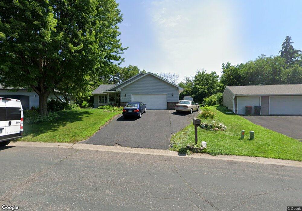
1792 Burr St Saint Paul, MN 55117
Parkside NeighborhoodEstimated Value: $415,000 - $453,000
5
Beds
3
Baths
1,368
Sq Ft
$315/Sq Ft
Est. Value
About This Home
This home is located at 1792 Burr St, Saint Paul, MN 55117 and is currently estimated at $430,629, approximately $314 per square foot. 1792 Burr St is a home located in Ramsey County with nearby schools including Edgerton Elementary School, Roseville Area Middle School, and Roseville Area Senior High School.
Ownership History
Date
Name
Owned For
Owner Type
Purchase Details
Closed on
May 27, 2015
Sold by
Bell Hamilton and Bell Jill
Bought by
Ya William N and Ya Xia T
Current Estimated Value
Home Financials for this Owner
Home Financials are based on the most recent Mortgage that was taken out on this home.
Original Mortgage
$226,100
Outstanding Balance
$174,493
Interest Rate
3.65%
Mortgage Type
New Conventional
Estimated Equity
$256,136
Purchase Details
Closed on
Jun 13, 2003
Sold by
Loveland Joseph and Loveland Jodi
Bought by
Bell Hamilton and Bell Jill
Create a Home Valuation Report for This Property
The Home Valuation Report is an in-depth analysis detailing your home's value as well as a comparison with similar homes in the area
Home Values in the Area
Average Home Value in this Area
Purchase History
| Date | Buyer | Sale Price | Title Company |
|---|---|---|---|
| Ya William N | $245,212 | Gobraltyter Title Agenyc Lcl | |
| Bell Hamilton | $309,900 | -- |
Source: Public Records
Mortgage History
| Date | Status | Borrower | Loan Amount |
|---|---|---|---|
| Open | Ya William N | $226,100 |
Source: Public Records
Tax History Compared to Growth
Tax History
| Year | Tax Paid | Tax Assessment Tax Assessment Total Assessment is a certain percentage of the fair market value that is determined by local assessors to be the total taxable value of land and additions on the property. | Land | Improvement |
|---|---|---|---|---|
| 2025 | $6,310 | $435,000 | $50,100 | $384,900 |
| 2023 | $6,310 | $430,100 | $50,100 | $380,000 |
| 2022 | $5,152 | $398,000 | $50,100 | $347,900 |
| 2021 | $4,772 | $334,900 | $50,100 | $284,800 |
| 2020 | $4,704 | $331,700 | $50,100 | $281,600 |
| 2019 | $4,356 | $306,800 | $50,100 | $256,700 |
| 2018 | $4,308 | $278,900 | $50,100 | $228,800 |
| 2017 | $3,590 | $269,000 | $50,100 | $218,900 |
| 2016 | $3,652 | $0 | $0 | $0 |
| 2015 | $3,562 | $239,700 | $45,500 | $194,200 |
| 2014 | $3,212 | $0 | $0 | $0 |
Source: Public Records
Map
Nearby Homes
- 1880 Desoto St
- 1984 Arkwright St
- 321 Summer Place E
- XXXX Larpenteur Ave E
- 1987 Lee St
- 529 Iowa Ave E
- 1615 Payne Ave
- 1959 Kenwood Dr W
- 3XX Belmont Ln
- 762 Maple Hills Dr E Unit C
- 721 California Ave E
- 2072 Mississippi St
- 162 Summer Ave
- 383 Nebraska Ave E
- 440 Nebraska Ave E
- 2144 Sloan St
- 1477 Arkwright St Unit A
- 144 Larpenteur Ave E
- 2228 Hendry Place
- 1825 Jackson St