17928 62nd St Becker, MN 55308
Estimated Value: $259,000 - $482,000
3
Beds
1
Bath
1,676
Sq Ft
$244/Sq Ft
Est. Value
About This Home
This home is located at 17928 62nd St, Becker, MN 55308 and is currently estimated at $409,707, approximately $244 per square foot. 17928 62nd St is a home located in Sherburne County with nearby schools including Becker Primary School, Becker Intermediate Elementary School, and Becker Middle School.
Ownership History
Date
Name
Owned For
Owner Type
Purchase Details
Closed on
Jul 14, 2000
Sold by
Nystrom Alan C and Nystrom Terri A
Bought by
Lumley Adam G and Lumley Charlotte A
Current Estimated Value
Purchase Details
Closed on
Jun 5, 2000
Sold by
Blesi Daniel J
Bought by
Nystrom Alan C and Nystrom Terri A
Purchase Details
Closed on
Mar 31, 1998
Sold by
Nystrom Alan C and Nystrom Terri A
Bought by
Blesi Daniel
Purchase Details
Closed on
Oct 31, 1997
Sold by
Quinn Robert J and Quinn Mary D
Bought by
Nystrom Alan C and Nystrom Terri A
Create a Home Valuation Report for This Property
The Home Valuation Report is an in-depth analysis detailing your home's value as well as a comparison with similar homes in the area
Purchase History
| Date | Buyer | Sale Price | Title Company |
|---|---|---|---|
| Lumley Adam G | $120,500 | -- | |
| Nystrom Alan C | $93,000 | -- | |
| Blesi Daniel | $79,000 | -- | |
| Nystrom Alan C | $36,000 | -- |
Source: Public Records
Mortgage History
| Date | Status | Borrower | Loan Amount |
|---|---|---|---|
| Closed | Blesi Daniel | -- |
Source: Public Records
Tax History
| Year | Tax Paid | Tax Assessment Tax Assessment Total Assessment is a certain percentage of the fair market value that is determined by local assessors to be the total taxable value of land and additions on the property. | Land | Improvement |
|---|---|---|---|---|
| 2025 | $3,482 | $387,000 | $137,900 | $249,100 |
| 2024 | $3,428 | $375,800 | $127,700 | $248,100 |
| 2023 | $3,222 | $375,900 | $127,700 | $248,200 |
| 2022 | $3,034 | $340,800 | $96,800 | $244,000 |
| 2020 | $2,754 | $273,600 | $64,600 | $209,000 |
| 2019 | $2,574 | $249,400 | $59,200 | $190,200 |
| 2018 | $2,494 | $232,000 | $53,100 | $178,900 |
| 2017 | $2,372 | $221,600 | $56,200 | $165,400 |
| 2016 | $2,294 | $206,000 | $51,200 | $154,800 |
| 2015 | $1,942 | $177,800 | $46,100 | $131,700 |
| 2014 | $1,814 | $164,100 | $42,800 | $121,300 |
| 2013 | -- | $145,100 | $41,800 | $103,300 |
Source: Public Records
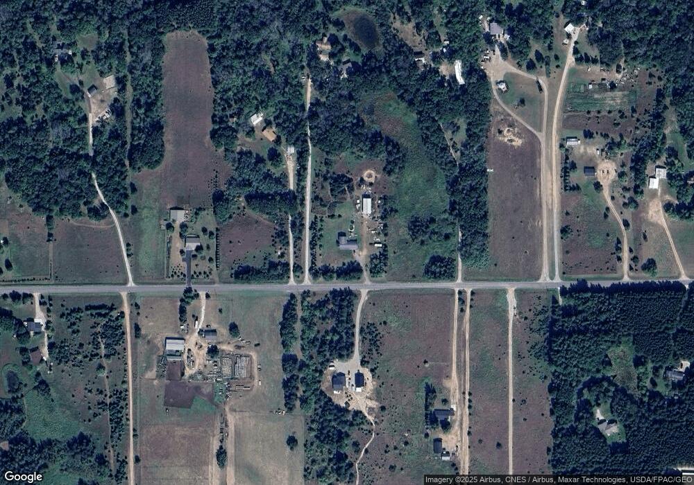
Map
Nearby Homes
- 15886 64th St SE
- Lot 1 87th St SE
- Lot 11 87th St SE
- 15187 63rd St SE
- Lot 2 151st Ave SE
- Lot 5 151st Ave SE
- Lot 6 151st Ave SE
- Lot 8 151st Ave SE
- Lot 1 151st Ave SE
- Lot 3 151st Ave SE
- Lot 9 151st Ave SE
- Lot 4 151st Ave SE
- TBDx 165th Ave SE
- Lot 7 173rd Ave SE
- 9382 191st Ave SE
- 25746 189th St NW
- TBD 148th Ave SE
- L2,Blk1 262nd Ave NW
- 17894 262nd Ave NW
- L5,Blk1 262nd Ave NW
Your Personal Tour Guide
Ask me questions while you tour the home.