1795 Jones Rd Minooka, IL 60447
North Minooka NeighborhoodEstimated Value: $355,000 - $667,035
3
Beds
2
Baths
1,850
Sq Ft
$279/Sq Ft
Est. Value
About This Home
This home is located at 1795 Jones Rd, Minooka, IL 60447 and is currently estimated at $516,012, approximately $278 per square foot. 1795 Jones Rd is a home located in Kendall County with nearby schools including Jones Elementary School, Minooka Junior High School, and Minooka Intermediate School.
Ownership History
Date
Name
Owned For
Owner Type
Purchase Details
Closed on
Jul 3, 2013
Sold by
Henschen Arthur Lee
Bought by
Henschen Arthur Lee and Henschen Family Trust
Current Estimated Value
Purchase Details
Closed on
Dec 18, 2008
Sold by
Henschen Roland A and Henschen Lavonne M
Bought by
Roland Arthur Henschen Trust and Lavonne Marilyn Henschen Trust
Purchase Details
Closed on
Sep 29, 2006
Sold by
Henschen Roland A and Henschen Lavonne M
Bought by
Henschen Roland A and Henschen Lavonne M
Create a Home Valuation Report for This Property
The Home Valuation Report is an in-depth analysis detailing your home's value as well as a comparison with similar homes in the area
Home Values in the Area
Average Home Value in this Area
Purchase History
| Date | Buyer | Sale Price | Title Company |
|---|---|---|---|
| Henschen Arthur Lee | -- | None Available | |
| Roland Arthur Henschen Trust | -- | None Available | |
| Henschen Roland A | -- | None Available |
Source: Public Records
Tax History Compared to Growth
Tax History
| Year | Tax Paid | Tax Assessment Tax Assessment Total Assessment is a certain percentage of the fair market value that is determined by local assessors to be the total taxable value of land and additions on the property. | Land | Improvement |
|---|---|---|---|---|
| 2024 | $8,887 | $115,746 | $51,366 | $64,380 |
| 2023 | $5,760 | $105,565 | $47,221 | $58,344 |
| 2022 | $5,760 | $91,894 | $39,771 | $52,123 |
| 2021 | $5,655 | $85,663 | $36,901 | $48,762 |
| 2020 | $5,518 | $80,042 | $33,773 | $46,269 |
| 2019 | $5,405 | $75,579 | $31,019 | $44,560 |
| 2018 | $5,278 | $71,482 | $28,849 | $42,633 |
| 2017 | $5,256 | $67,316 | $26,869 | $40,447 |
| 2016 | $5,138 | $62,594 | $24,988 | $37,606 |
| 2015 | $5,237 | $60,398 | $23,358 | $37,040 |
| 2014 | -- | $43,460 | $22,208 | $21,252 |
| 2013 | -- | $42,120 | $20,868 | $21,252 |
Source: Public Records
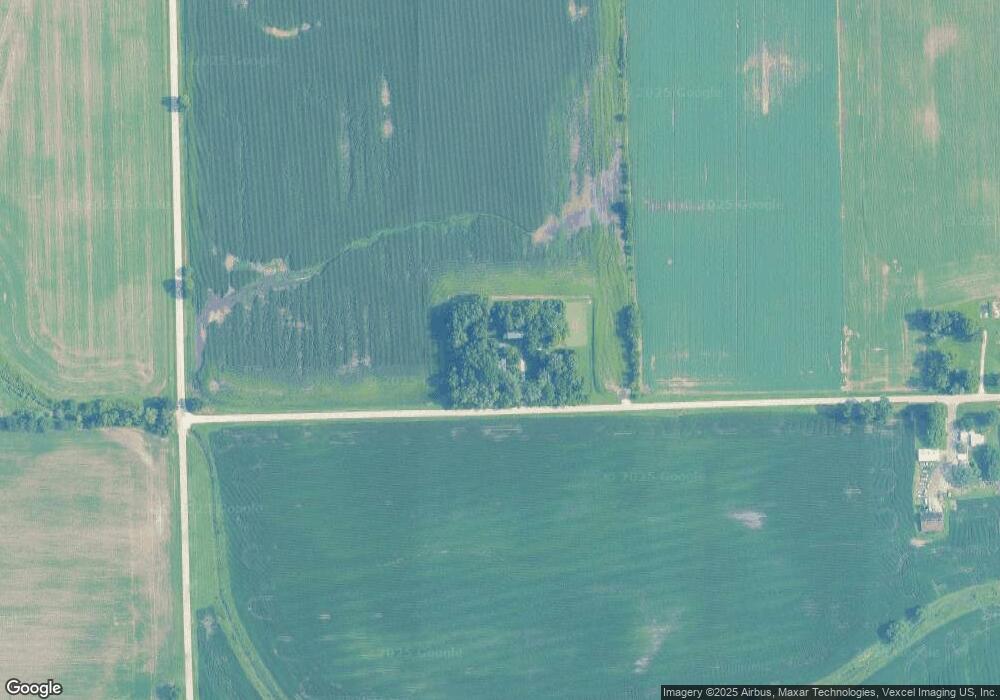
Map
Nearby Homes
- 8102 Wood River St
- 8010 Wood River St
- 409 Rockfish St
- 8508 Sawyer Ct
- 901 Sable Ridge Dr
- 8513 Sawyer Ct
- 905 Bluebell Cir
- 911 Bluebell Cir
- 907 Bluebell Cir
- 8413 Eva Ave
- 1045 Heron Cir
- 1047 Heron Cir
- 1028 Heron Cir
- 1109 Heron Cir
- 1003 Plaintain Dr
- 7911 Indigo Dr
- 914 Salvia Ln
- 1002 Angelica Cir
- 7601 Honeysuckle Ln
- 7511 Currant Dr
- 1549 Jones Rd
- 1562 Jones Rd
- 13115 Arbeiter Rd
- 521 Fort Clatsop Ct
- 519 Fort Clatsop Ct
- 517 Fort Clatsop Ct
- 8116 Wood River St
- 525 Fort Clatsop Ct
- 8117 Wood River St
- 8116 Expedition St
- 515 Fort Clatsop Ct
- 501 Fort Clatsop Ct Unit 501
- 527 Fort Clatsop Ct
- 503 Fort Clatsop Ct Unit 503
- 507 Fort Clatsop Ct Unit 507
- 507 Fort Clatsop Ct Unit 5
- 505 Fort Clatsop Ct
- 509 Fort Clatsop Ct Unit 509
- 8114 Wood River St
- 513 Fort Clatsop Ct