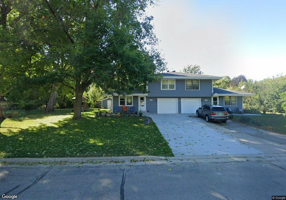
1797 10th Ave Newport, MN 55055
Estimated Value: $240,000 - $313,000
2
Beds
3
Baths
990
Sq Ft
$271/Sq Ft
Est. Value
About This Home
This home is located at 1797 10th Ave, Newport, MN 55055 and is currently estimated at $267,979, approximately $270 per square foot. 1797 10th Ave is a home located in Washington County with nearby schools including Newport Elementary School, Oltman Middle School, and East Ridge High School.
Ownership History
Date
Name
Owned For
Owner Type
Purchase Details
Closed on
Jul 28, 2023
Sold by
Hayden Chad and Hayden Melissa
Bought by
Burdick Erin
Current Estimated Value
Purchase Details
Closed on
Jul 21, 2023
Sold by
Gervais Diana Marie
Bought by
Gervais Diana Marie and Washington County Community Services
Purchase Details
Closed on
Mar 8, 2023
Sold by
Gervais Diana M
Bought by
Gervais Diana M and Hayden Chad
Purchase Details
Closed on
Apr 27, 2000
Sold by
Dombrock Theodore James
Bought by
Gervais Diana M
Purchase Details
Closed on
Feb 22, 1996
Sold by
Dimmer Elizabeth
Bought by
Dombrock Theodore J
Create a Home Valuation Report for This Property
The Home Valuation Report is an in-depth analysis detailing your home's value as well as a comparison with similar homes in the area
Home Values in the Area
Average Home Value in this Area
Purchase History
| Date | Buyer | Sale Price | Title Company |
|---|---|---|---|
| Burdick Erin | $69,000 | None Listed On Document | |
| Gervais Diana Marie | -- | None Listed On Document | |
| Gervais Diana M | -- | None Listed On Document | |
| Gervais Diana M | $91,000 | -- | |
| Dombrock Theodore J | $95,000 | -- |
Source: Public Records
Mortgage History
| Date | Status | Borrower | Loan Amount |
|---|---|---|---|
| Closed | Dombrock Theodore J | -- |
Source: Public Records
Tax History Compared to Growth
Tax History
| Year | Tax Paid | Tax Assessment Tax Assessment Total Assessment is a certain percentage of the fair market value that is determined by local assessors to be the total taxable value of land and additions on the property. | Land | Improvement |
|---|---|---|---|---|
| 2024 | $2,616 | $201,300 | $35,000 | $166,300 |
| 2023 | $2,616 | $192,300 | $40,000 | $152,300 |
| 2022 | $2,246 | $193,500 | $48,200 | $145,300 |
| 2021 | $2,158 | $159,100 | $40,000 | $119,100 |
| 2020 | $2,188 | $156,900 | $42,500 | $114,400 |
| 2019 | $2,008 | $156,400 | $42,500 | $113,900 |
| 2018 | $2,022 | $140,000 | $42,500 | $97,500 |
| 2017 | $1,614 | $138,900 | $42,500 | $96,400 |
| 2016 | $1,496 | $118,100 | $27,500 | $90,600 |
| 2015 | $1,342 | $76,400 | $18,300 | $58,100 |
| 2013 | -- | $72,300 | $18,000 | $54,300 |
Source: Public Records
Map
Nearby Homes
- 1761 8th Ave
- 2250 Larry Ln
- 1391 12th Ave
- 1493 3rd Ave
- 1523 Cedar Ln
- 6287 Crackleberry Trail
- 1012 Catherine Dr
- 1081 Oakwood Rd
- 1530 Burg Ave
- 6254 61st St S
- 6248 61st St S
- 6253 61st St S
- 6266 61st St S
- 6265 61st St S
- 6260 61st St S
- 6162 Goodwin Ave N
- 15016 Ashtown Ln
- 6135 Goodwin Ave S
- 6720 Crackleberry Trail
- 10525 Goodwin Ave S