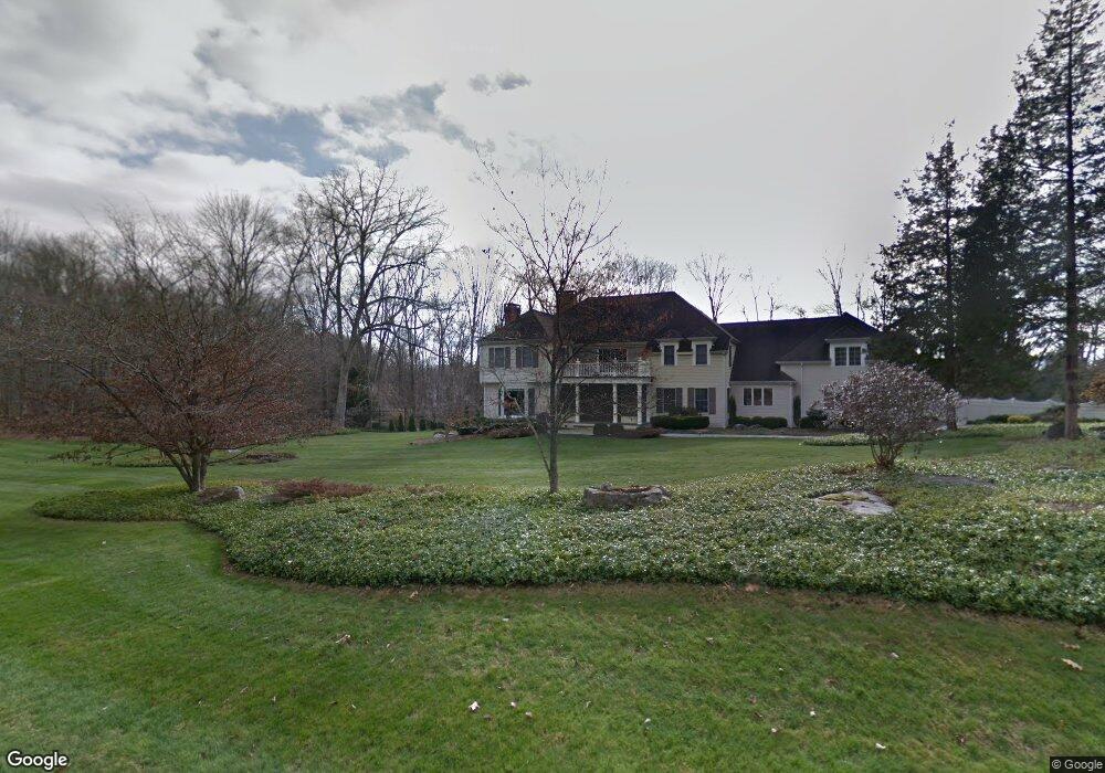
18 Arrowhead Way Weston, CT 06883
Estimated Value: $2,277,000 - $2,532,860
5
Beds
6
Baths
6,003
Sq Ft
$406/Sq Ft
Est. Value
About This Home
This home is located at 18 Arrowhead Way, Weston, CT 06883 and is currently estimated at $2,437,965, approximately $406 per square foot. 18 Arrowhead Way is a home located in Fairfield County with nearby schools including Hurlbutt Elementary School, Weston Intermediate School, and Weston Middle School.
Ownership History
Date
Name
Owned For
Owner Type
Purchase Details
Closed on
Jul 1, 2008
Sold by
Perno Ernest
Bought by
Ameri Daniel I and Ameri Sharon R
Current Estimated Value
Purchase Details
Closed on
Apr 6, 2006
Sold by
Frank Randy and Frank Shelly
Bought by
Perno Ernest
Home Financials for this Owner
Home Financials are based on the most recent Mortgage that was taken out on this home.
Original Mortgage
$832,000
Interest Rate
5.87%
Create a Home Valuation Report for This Property
The Home Valuation Report is an in-depth analysis detailing your home's value as well as a comparison with similar homes in the area
Home Values in the Area
Average Home Value in this Area
Purchase History
| Date | Buyer | Sale Price | Title Company |
|---|---|---|---|
| Ameri Daniel I | $2,300,000 | -- | |
| Perno Ernest | $1,665,000 | -- |
Source: Public Records
Mortgage History
| Date | Status | Borrower | Loan Amount |
|---|---|---|---|
| Previous Owner | Perno Ernest | $832,000 | |
| Previous Owner | Perno Ernest | $1,000,000 |
Source: Public Records
Tax History Compared to Growth
Tax History
| Year | Tax Paid | Tax Assessment Tax Assessment Total Assessment is a certain percentage of the fair market value that is determined by local assessors to be the total taxable value of land and additions on the property. | Land | Improvement |
|---|---|---|---|---|
| 2025 | $37,427 | $1,565,970 | $271,880 | $1,294,090 |
| 2024 | $36,753 | $1,565,970 | $271,880 | $1,294,090 |
| 2023 | $35,623 | $1,077,530 | $271,880 | $805,650 |
| 2022 | $35,526 | $1,077,530 | $271,880 | $805,650 |
| 2021 | $35,472 | $1,077,530 | $271,880 | $805,650 |
| 2020 | $34,880 | $1,077,530 | $271,880 | $805,650 |
| 2019 | $34,880 | $1,077,530 | $271,880 | $805,650 |
| 2018 | $34,039 | $1,158,200 | $302,300 | $855,900 |
| 2017 | $33,484 | $1,158,200 | $302,300 | $855,900 |
| 2016 | $33,078 | $1,158,200 | $302,300 | $855,900 |
| 2015 | $33,206 | $1,158,200 | $302,300 | $855,900 |
| 2014 | $32,708 | $1,158,200 | $302,300 | $855,900 |
Source: Public Records
Map
Nearby Homes
- 17 Huckleberry Ln
- 31 Riverfield Dr
- 4 Good Hill Rd
- 30 Cavalry Rd
- 32 Kettle Creek Rd
- 40 Hermit Ln
- 14 Northfield Dr
- 31 White Birch Rd
- 4A Newtown Turnpike
- 1 Greenlea Ln
- 25 Hermit Ln
- 9 Greenbrier Rd
- 87 Red Coat Rd
- 24 Warnock Dr
- 21 Warnock Dr
- 56 Charcoal Hill Rd
- 136 Lyons Plain Rd
- 81 Norfield Rd
- 93 E Meadow Rd
- 145 Lyons Plain Rd
- 25 Riverfield Dr
- 14 Arrowhead Way
- 22 Saugatuck River Rd
- 18 Saugatuck River Rd
- 23 Riverfield Dr
- 19 Riverfield Dr
- 11 Arrowhead Way
- 21 Riverfield Dr
- 2 Arrowhead Way
- 25 Huckleberry Ln
- 13 Riverfield Dr
- 21 Saugatuck River Rd
- 14 Saugatuck River Rd
- 11 Riverfield Dr
- 23 Huckleberry Ln
- 00 Arrowhead Way
- 29 Riverfield Dr
- 1 Arrowhead Way
- 14 Riverfield Dr
- 12 Huckleberry Ln