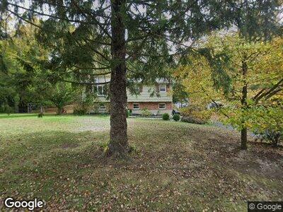
18 Bittersweet Dr Danbury, CT 06811
Estimated Value: $487,000 - $576,000
3
Beds
3
Baths
1,132
Sq Ft
$467/Sq Ft
Est. Value
About This Home
This home is located at 18 Bittersweet Dr, Danbury, CT 06811 and is currently estimated at $528,533, approximately $466 per square foot. 18 Bittersweet Dr is a home located in Fairfield County with nearby schools including Pembroke Elementary School, Broadview Middle School, and Danbury High School.
Ownership History
Date
Name
Owned For
Owner Type
Purchase Details
Closed on
May 14, 1997
Sold by
Neversky Michael and Neversky Jeanne
Bought by
Feenan Brian
Current Estimated Value
Home Financials for this Owner
Home Financials are based on the most recent Mortgage that was taken out on this home.
Original Mortgage
$159,100
Interest Rate
8.12%
Mortgage Type
Unknown
Purchase Details
Closed on
Dec 16, 1987
Sold by
Giorgio Joseph
Bought by
Neverisky Micheal
Create a Home Valuation Report for This Property
The Home Valuation Report is an in-depth analysis detailing your home's value as well as a comparison with similar homes in the area
Home Values in the Area
Average Home Value in this Area
Purchase History
| Date | Buyer | Sale Price | Title Company |
|---|---|---|---|
| Feenan Brian | $162,000 | -- | |
| Neverisky Micheal | $185,000 | -- |
Source: Public Records
Mortgage History
| Date | Status | Borrower | Loan Amount |
|---|---|---|---|
| Closed | Neverisky Micheal | $50,000 | |
| Open | Neverisky Micheal | $230,000 | |
| Closed | Neverisky Micheal | $159,100 | |
| Previous Owner | Neverisky Micheal | $137,000 |
Source: Public Records
Tax History Compared to Growth
Tax History
| Year | Tax Paid | Tax Assessment Tax Assessment Total Assessment is a certain percentage of the fair market value that is determined by local assessors to be the total taxable value of land and additions on the property. | Land | Improvement |
|---|---|---|---|---|
| 2024 | $6,161 | $252,070 | $83,720 | $168,350 |
| 2023 | $5,881 | $252,070 | $83,720 | $168,350 |
| 2022 | $5,379 | $190,600 | $76,900 | $113,700 |
| 2021 | $0 | $190,600 | $76,900 | $113,700 |
| 2020 | $5,261 | $190,600 | $76,900 | $113,700 |
| 2019 | $5,261 | $190,600 | $76,900 | $113,700 |
| 2018 | $0 | $190,600 | $76,900 | $113,700 |
| 2017 | $5,107 | $176,400 | $73,200 | $103,200 |
| 2016 | $5,059 | $176,400 | $73,200 | $103,200 |
| 2015 | $4,985 | $176,400 | $73,200 | $103,200 |
| 2014 | $4,869 | $176,400 | $73,200 | $103,200 |
Source: Public Records
Map
Nearby Homes
- 28 Fox Hollow Rd
- 25 Fox Hollow Rd
- 12 Charcoal Ridge Rd S
- 56 E Lake Rd
- 32 Old Farm Rd
- 6 Glen Rd
- 13 Society Hill Rd
- 7 Donnelly Dr
- 15 Ball Pond Rd
- 23 Ball Pond Rd
- 23 Indian Hill Rd
- 6 Whipstick Rd
- 34 Indian Hill Rd
- 2 Kingswood Rd
- 6 Marbil Rd
- 51 Ball Pond Rd
- 19 Madeline Dr
- 56 Pembroke Rd Unit 11
- 14 Barnum Rd
- 112 Clapboard Ridge Rd
- 18 Bittersweet Dr
- 21 Charcoal Ridge Rd S
- 16 Bittersweet Dr
- 20 Bittersweet Dr
- 17 Bittersweet Dr
- 19 Charcoal Ridge Rd S
- 23 Charcoal Ridge Rd S
- 21 Bittersweet Dr
- 20 Charcoal Ridge Rd S
- 14 Bittersweet Dr
- 15 Bittersweet Dr
- 42 Smoke Hill Dr
- 22 Charcoal Ridge Rd S
- 40 Smoke Hill Dr
- 16 Charcoal Ridge Rd S
- 18 Charcoal Ridge Rd S
- 44 Smoke Hill Dr
- 33 Charcoal Ridge Rd S
- 33 Charcoal Ridge Rd S
- 33 Charcoal Ridge Rd S