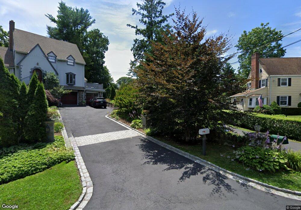
18 Byram Shore Rd Greenwich, CT 06830
Byram NeighborhoodEstimated Value: $1,715,000 - $2,213,000
4
Beds
4
Baths
2,890
Sq Ft
$685/Sq Ft
Est. Value
About This Home
This home is located at 18 Byram Shore Rd, Greenwich, CT 06830 and is currently estimated at $1,979,154, approximately $684 per square foot. 18 Byram Shore Rd is a home located in Fairfield County with nearby schools including New Lebanon School, Western Middle School, and Greenwich High School.
Ownership History
Date
Name
Owned For
Owner Type
Purchase Details
Closed on
Dec 26, 2021
Sold by
Gardner Ronald
Bought by
Gardner Myrna
Current Estimated Value
Purchase Details
Closed on
Aug 1, 1997
Sold by
Zargar Janine and Zargar Mohsen
Bought by
Gardner Ronald and Gardner Myra
Purchase Details
Closed on
Dec 4, 1990
Sold by
Lohmann Bjarne
Bought by
Zargar Mohsen
Create a Home Valuation Report for This Property
The Home Valuation Report is an in-depth analysis detailing your home's value as well as a comparison with similar homes in the area
Home Values in the Area
Average Home Value in this Area
Purchase History
| Date | Buyer | Sale Price | Title Company |
|---|---|---|---|
| Gardner Myrna | -- | None Available | |
| Gardner Ronald | $465,000 | -- | |
| Zargar Mohsen | $439,000 | -- |
Source: Public Records
Mortgage History
| Date | Status | Borrower | Loan Amount |
|---|---|---|---|
| Previous Owner | Zargar Mohsen | $145,000 | |
| Previous Owner | Zargar Mohsen | $381,000 | |
| Previous Owner | Zargar Mohsen | $417,000 |
Source: Public Records
Tax History Compared to Growth
Tax History
| Year | Tax Paid | Tax Assessment Tax Assessment Total Assessment is a certain percentage of the fair market value that is determined by local assessors to be the total taxable value of land and additions on the property. | Land | Improvement |
|---|---|---|---|---|
| 2025 | $8,348 | $675,430 | $443,800 | $231,630 |
| 2024 | $8,062 | $675,430 | $443,800 | $231,630 |
| 2023 | $7,859 | $675,430 | $443,800 | $231,630 |
| 2022 | $7,788 | $675,430 | $443,800 | $231,630 |
| 2021 | $8,023 | $666,330 | $383,880 | $282,450 |
| 2020 | $8,009 | $666,330 | $383,880 | $282,450 |
| 2019 | $8,089 | $666,330 | $383,880 | $282,450 |
| 2018 | $7,909 | $666,330 | $383,880 | $282,450 |
| 2017 | $8,009 | $666,330 | $383,880 | $282,450 |
| 2016 | $7,882 | $666,330 | $383,880 | $282,450 |
| 2015 | $8,229 | $690,060 | $440,580 | $249,480 |
| 2014 | $8,022 | $690,060 | $440,580 | $249,480 |
Source: Public Records
Map
Nearby Homes
- 36, 38, 0 Game Cock Rd
- 104 Ritch Ave W Unit 6
- 18 Beech St
- 15 Henry St
- 73 Mead Ave
- 25 Henry St Unit B
- 9 S Water St
- 30 High St
- 131 Henry St
- 48 Richland Rd
- 95 Byram Rd
- 30 Sherman Ave
- 1 Landmark Square Unit 109
- 1 Landmark Square Unit 530
- 1 Landmark Square Unit 411
- 1 Landmark Square Unit 613
- 1 Landmark Square Unit 302
- 1 Landmark Square Unit 601
- 1 Landmark Square Unit 233
- 14 Sherman Ave
- 16 Byram Shore Rd
- 20 Byram Shore Rd
- 14 Byram Shore Rd
- 14 Byram Shore Rd Unit 1
- 14 Byram Shore Rd Unit 3
- 14 Byram Shore Rd Unit Floor 1
- 14 Byram Shore Rd Unit 2
- 30 Byram Shore Rd
- 10 Byram Shore Rd
- 2 Eugene St
- 26 Byram Shore Rd
- 1 Stormy Circle Dr
- 1 Byram Shore Road-Rear #2
- 1 Eugene St
- 8 Byram Shore Rd
- 32 Byram Shore Rd
- 27 Byram Shore Rd
- 34 Byram Shore Rd
- 3 Stormy Circle Dr
- 3 Eugene St