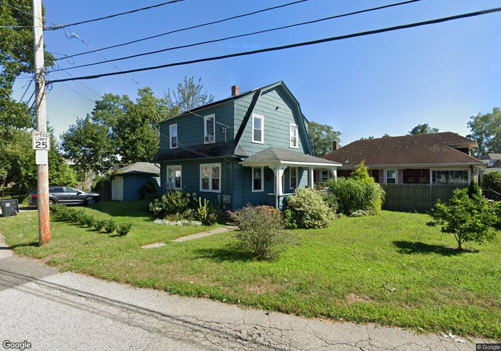
18 Circuit Dr Riverside, RI 02915
Riverside NeighborhoodEstimated Value: $418,668 - $460,000
3
Beds
1
Bath
1,500
Sq Ft
$295/Sq Ft
Est. Value
About This Home
This home is located at 18 Circuit Dr, Riverside, RI 02915 and is currently estimated at $442,417, approximately $294 per square foot. 18 Circuit Dr is a home located in Providence County with nearby schools including East Providence High School, St Luke Elementary School, and St Mary Academy-Bay View.
Ownership History
Date
Name
Owned For
Owner Type
Purchase Details
Closed on
Jul 12, 2017
Sold by
Edge Picerne Heather K
Bought by
Sala Mackenzie K and Law Roger D
Current Estimated Value
Home Financials for this Owner
Home Financials are based on the most recent Mortgage that was taken out on this home.
Original Mortgage
$156,800
Outstanding Balance
$130,138
Interest Rate
3.94%
Mortgage Type
New Conventional
Estimated Equity
$312,279
Purchase Details
Closed on
Mar 15, 2012
Sold by
Azevedo Robert A
Bought by
Picerne Heather K E
Purchase Details
Closed on
Nov 16, 1998
Sold by
Leigh Dwight and Kaplans David
Bought by
Azevedo Robert A
Purchase Details
Closed on
Apr 3, 1998
Sold by
Ray T Howard Est and Surgento
Bought by
Leigh Dwight and Kaplan David
Create a Home Valuation Report for This Property
The Home Valuation Report is an in-depth analysis detailing your home's value as well as a comparison with similar homes in the area
Home Values in the Area
Average Home Value in this Area
Purchase History
| Date | Buyer | Sale Price | Title Company |
|---|---|---|---|
| Sala Mackenzie K | $196,000 | -- | |
| Picerne Heather K E | -- | -- | |
| Azevedo Robert A | $84,000 | -- | |
| Leigh Dwight | $55,000 | -- | |
| Sala Mackenzie K | $196,000 | -- | |
| Picerne Heather K E | -- | -- | |
| Azevedo Robert A | $84,000 | -- | |
| Leigh Dwight | $55,000 | -- |
Source: Public Records
Mortgage History
| Date | Status | Borrower | Loan Amount |
|---|---|---|---|
| Open | Sala Mackenzie K | $156,800 | |
| Closed | Leigh Dwight | $156,800 | |
| Previous Owner | Leigh Dwight | $170,000 | |
| Previous Owner | Leigh Dwight | $145,000 |
Source: Public Records
Tax History Compared to Growth
Tax History
| Year | Tax Paid | Tax Assessment Tax Assessment Total Assessment is a certain percentage of the fair market value that is determined by local assessors to be the total taxable value of land and additions on the property. | Land | Improvement |
|---|---|---|---|---|
| 2025 | $5,398 | $413,000 | $116,800 | $296,200 |
| 2024 | $4,935 | $321,900 | $97,300 | $224,600 |
| 2023 | $4,751 | $321,900 | $97,300 | $224,600 |
| 2022 | $4,167 | $190,600 | $54,100 | $136,500 |
| 2021 | $4,098 | $190,600 | $52,700 | $137,900 |
| 2020 | $3,924 | $190,600 | $52,700 | $137,900 |
| 2019 | $3,816 | $190,600 | $52,700 | $137,900 |
| 2018 | $3,851 | $168,300 | $51,200 | $117,100 |
| 2017 | $3,765 | $168,300 | $51,200 | $117,100 |
| 2016 | $3,746 | $168,300 | $51,200 | $117,100 |
| 2015 | $3,888 | $169,400 | $47,400 | $122,000 |
| 2014 | $3,888 | $169,400 | $47,400 | $122,000 |
Source: Public Records
Map
Nearby Homes
- 25 Woodbine St
- 36 Woodbine St
- 25 Winslow St
- 536 Willett Ave
- 735 Willett Ave Unit 806
- 25 Read St
- 57 Harris St
- 146 Becker Ave
- 25 Arnold St
- 81 Sprague Ave
- 81 Pine Crest Dr
- 83 Pine Crest Dr
- 6 Hilton Ave
- 151 Willett Ave Unit 2
- 151 Willett Ave Unit 5
- 17 Oak Ave
- 85 Hilton Ave
- 33 Pine St Unit 35
- 46 Tanglewood Dr
- 1 Holly St
- 18 Circuit Dr
- 20 Circuit Dr
- 15 Thurston St
- 6 Thurston St
- 12 Thurston St
- 24 Circuit Dr
- 4 Thurston St
- 14 Circuit Dr
- 16 Thurston St
- 38 Circuit Dr Unit 40
- 18 Thurston St
- 10 Circuit Dr
- 17 Thurston St
- 9 Circuit Dr
- 23 Circuit Dr Unit 25
- 24 Thurston St
- 29 Woodbine St
- 31 Woodbine St
- 27 Circuit Dr
- 19 Thurston St