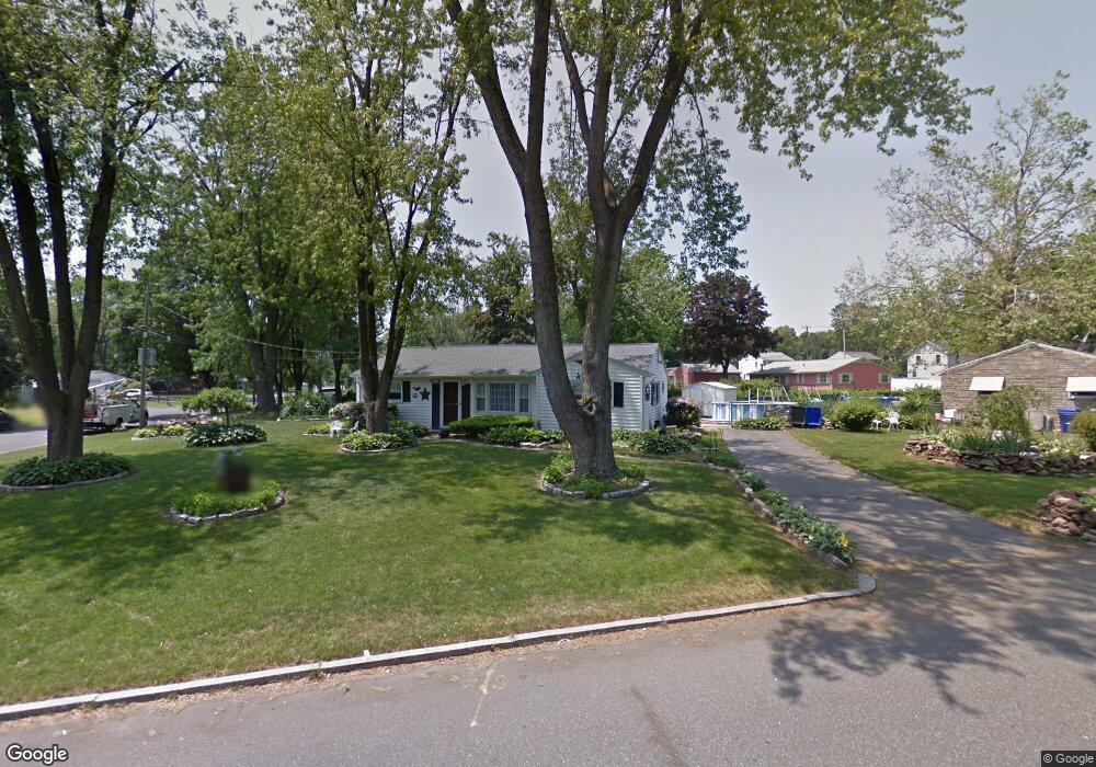
18 Corcoran Blvd Springfield, MA 01118
East Forest Park NeighborhoodEstimated Value: $260,000 - $303,000
3
Beds
2
Baths
1,071
Sq Ft
$261/Sq Ft
Est. Value
About This Home
This home is located at 18 Corcoran Blvd, Springfield, MA 01118 and is currently estimated at $279,330, approximately $260 per square foot. 18 Corcoran Blvd is a home located in Hampden County with nearby schools including Frederick Harris Elementary School, M Marcus Kiley Middle, and Springfield High School of Science and Technology.
Ownership History
Date
Name
Owned For
Owner Type
Purchase Details
Closed on
May 3, 2017
Sold by
Lacosse Robert F and Lacosse Joann K
Bought by
Lacosse 2017 Irt
Current Estimated Value
Purchase Details
Closed on
Apr 27, 1973
Bought by
Lacosse Robert F and Lacosse Jo Ann K
Create a Home Valuation Report for This Property
The Home Valuation Report is an in-depth analysis detailing your home's value as well as a comparison with similar homes in the area
Home Values in the Area
Average Home Value in this Area
Purchase History
| Date | Buyer | Sale Price | Title Company |
|---|---|---|---|
| Lacosse 2017 Irt | -- | -- | |
| Lacosse Robert F | $17,000 | -- |
Source: Public Records
Mortgage History
| Date | Status | Borrower | Loan Amount |
|---|---|---|---|
| Previous Owner | Lacosse Robert F | $30,000 | |
| Previous Owner | Lacosse Robert F | $15,000 |
Source: Public Records
Tax History Compared to Growth
Tax History
| Year | Tax Paid | Tax Assessment Tax Assessment Total Assessment is a certain percentage of the fair market value that is determined by local assessors to be the total taxable value of land and additions on the property. | Land | Improvement |
|---|---|---|---|---|
| 2025 | $3,136 | $200,000 | $58,200 | $141,800 |
| 2024 | $3,181 | $198,100 | $58,200 | $139,900 |
| 2023 | $2,777 | $162,900 | $55,400 | $107,500 |
| 2022 | $2,832 | $150,500 | $55,400 | $95,100 |
| 2021 | $2,616 | $138,400 | $50,300 | $88,100 |
| 2020 | $2,371 | $121,400 | $50,300 | $71,100 |
| 2019 | $2,360 | $119,900 | $50,300 | $69,600 |
| 2018 | $2,253 | $114,500 | $50,300 | $64,200 |
| 2017 | $2,241 | $114,000 | $50,300 | $63,700 |
| 2016 | $2,058 | $104,700 | $50,300 | $54,400 |
| 2015 | $2,034 | $103,400 | $50,300 | $53,100 |
Source: Public Records
Map
Nearby Homes
- 43 Sunridge Dr
- 55 Allen St
- 54 Shady Brook Ln
- 5 Manor Ct Unit 5
- 19 Manor Ct Unit 19
- 17 Pebble Mill Rd
- 125 Manor Ct Unit 125
- 196 Sawmill Rd
- 392 Gifford St
- 206 Treetop Ave
- 86 Talmadge Dr
- 101 Regal St
- 157 Canterbury Rd
- 77 W Allen Ridge Rd
- 82 Louis Rd
- 95 Benz St
- 290 Newton Rd
- 26 Harkness Ave
- 27 Regal St
- 56 Hadley St
- 6 Corcoran Blvd
- 1182 Allen St
- 13 Corcoran Blvd
- 23 Corcoran Blvd
- 38 Corcoran Blvd
- 24 Sunridge Dr
- 1206 Allen St
- 17 Sunridge Dr
- 1174 Allen St
- 31 Corcoran Blvd
- 32 Sunridge Dr
- 1195 Allen St
- 29 Sunridge Dr
- 16 Shady Brook Ln
- 41 Corcoran Blvd
- 1187 Allen St
- 50 Corcoran Blvd
- 26 Shady Brook Ln
- 1164 Allen St
- 1220 Allen St