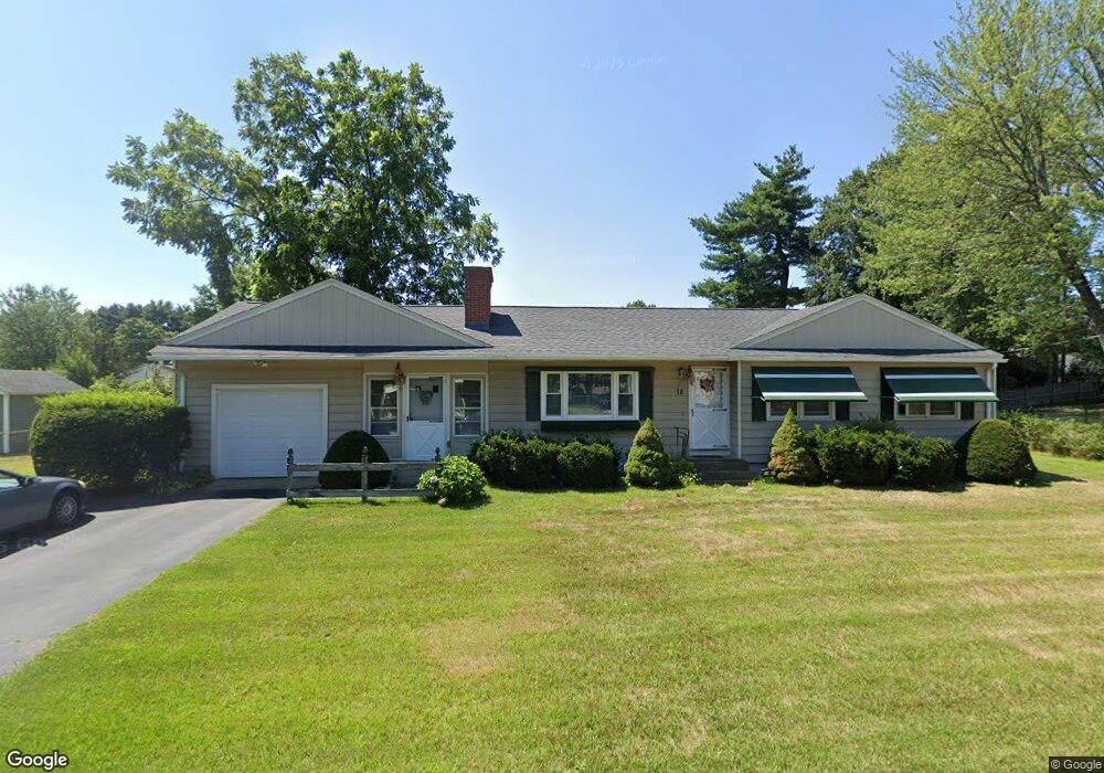
18 Drury St Springfield, MA 01129
Boston Road NeighborhoodEstimated Value: $270,000 - $323,000
3
Beds
2
Baths
1,076
Sq Ft
$280/Sq Ft
Est. Value
About This Home
This home is located at 18 Drury St, Springfield, MA 01129 and is currently estimated at $301,687, approximately $280 per square foot. 18 Drury St is a home located in Hampden County with nearby schools including Warner, M Marcus Kiley Middle, and Springfield Central High School.
Ownership History
Date
Name
Owned For
Owner Type
Purchase Details
Closed on
Feb 1, 2010
Sold by
Willis Ronald B
Bought by
Willis Ronald B and Willis Sandra
Current Estimated Value
Purchase Details
Closed on
Jul 22, 1983
Bought by
Willis Ronald B and Willis Sandra
Create a Home Valuation Report for This Property
The Home Valuation Report is an in-depth analysis detailing your home's value as well as a comparison with similar homes in the area
Home Values in the Area
Average Home Value in this Area
Purchase History
| Date | Buyer | Sale Price | Title Company |
|---|---|---|---|
| Willis Ronald B | -- | -- | |
| Willis Ronald B | $33,000 | -- |
Source: Public Records
Mortgage History
| Date | Status | Borrower | Loan Amount |
|---|---|---|---|
| Previous Owner | Willis Ronald B | $35,000 | |
| Previous Owner | Willis Ronald B | $39,000 | |
| Previous Owner | Willis Ronald B | $10,000 |
Source: Public Records
Tax History
| Year | Tax Paid | Tax Assessment Tax Assessment Total Assessment is a certain percentage of the fair market value that is determined by local assessors to be the total taxable value of land and additions on the property. | Land | Improvement |
|---|---|---|---|---|
| 2025 | $4,474 | $285,300 | $59,300 | $226,000 |
| 2024 | $4,261 | $265,300 | $59,300 | $206,000 |
| 2023 | $3,835 | $224,900 | $56,400 | $168,500 |
| 2022 | $4,018 | $213,500 | $56,400 | $157,100 |
| 2021 | $3,614 | $191,200 | $51,300 | $139,900 |
| 2020 | $3,461 | $177,200 | $51,300 | $125,900 |
| 2019 | $3,222 | $163,700 | $51,300 | $112,400 |
| 2018 | $3,269 | $166,100 | $51,300 | $114,800 |
| 2017 | $3,079 | $156,600 | $46,300 | $110,300 |
| 2016 | $2,965 | $150,800 | $46,300 | $104,500 |
| 2015 | $2,927 | $148,800 | $46,300 | $102,500 |
Source: Public Records
Map
Nearby Homes
Your Personal Tour Guide
Ask me questions while you tour the home.