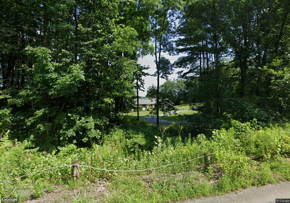
18 Ferry Rd Westmoreland, NH 03467
Estimated Value: $463,000 - $678,000
4
Beds
4
Baths
3,203
Sq Ft
$186/Sq Ft
Est. Value
About This Home
This home is located at 18 Ferry Rd, Westmoreland, NH 03467 and is currently estimated at $596,297, approximately $186 per square foot. 18 Ferry Rd is a home located in Cheshire County with nearby schools including Keene High School and Pioneer Junior Academy.
Ownership History
Date
Name
Owned For
Owner Type
Purchase Details
Closed on
Sep 17, 2003
Sold by
Janice A Kos T
Bought by
Nadeau Brian M and Nadeau Gretchen H
Current Estimated Value
Home Financials for this Owner
Home Financials are based on the most recent Mortgage that was taken out on this home.
Original Mortgage
$204,250
Interest Rate
6.31%
Purchase Details
Closed on
Jun 9, 1999
Sold by
Robert S Harcke Tr
Bought by
Janice A Kos Ret
Home Financials for this Owner
Home Financials are based on the most recent Mortgage that was taken out on this home.
Original Mortgage
$173,700
Interest Rate
6.9%
Create a Home Valuation Report for This Property
The Home Valuation Report is an in-depth analysis detailing your home's value as well as a comparison with similar homes in the area
Home Values in the Area
Average Home Value in this Area
Purchase History
| Date | Buyer | Sale Price | Title Company |
|---|---|---|---|
| Nadeau Brian M | $215,000 | -- | |
| Janice A Kos Ret | $193,000 | -- |
Source: Public Records
Mortgage History
| Date | Status | Borrower | Loan Amount |
|---|---|---|---|
| Open | Janice A Kos Ret | $180,315 | |
| Closed | Janice A Kos Ret | $204,250 | |
| Previous Owner | Janice A Kos Ret | $173,700 |
Source: Public Records
Tax History Compared to Growth
Tax History
| Year | Tax Paid | Tax Assessment Tax Assessment Total Assessment is a certain percentage of the fair market value that is determined by local assessors to be the total taxable value of land and additions on the property. | Land | Improvement |
|---|---|---|---|---|
| 2024 | $8,929 | $387,200 | $119,700 | $267,500 |
| 2023 | $8,243 | $387,200 | $119,700 | $267,500 |
| 2022 | $7,957 | $387,200 | $119,700 | $267,500 |
| 2021 | $7,899 | $387,200 | $119,700 | $267,500 |
| 2020 | $8,065 | $317,500 | $88,300 | $229,200 |
| 2019 | $8,525 | $317,500 | $88,300 | $229,200 |
| 2018 | $8,090 | $317,500 | $88,300 | $229,200 |
| 2017 | $7,910 | $316,400 | $88,300 | $228,100 |
| 2016 | $7,856 | $316,400 | $88,300 | $228,100 |
| 2015 | $7,383 | $338,500 | $93,000 | $245,500 |
| 2014 | $7,373 | $338,500 | $93,000 | $245,500 |
| 2012 | $6,128 | $290,000 | $93,000 | $197,000 |
Source: Public Records
Map
Nearby Homes
- 601 River Rd S
- 00 S Pine Banks Rd
- 0 Route 63 Unit 15
- 2 Glebe Rd
- 000 S Village Rd Unit 13
- 212 S Pine Banks Rd
- 119 Main St
- 13 Kimball Hill
- 62 Westminster Rd
- 4 Signal Pine Rd
- 153 Westminster Rd
- 159 Westminster Rd
- 14 Hurricane Rd
- 203 Westminster Rd
- 37 Fred Houghton Rd
- 0 Old Ledge Rd Unit 4950217
- 152 Halls Crossing Rd
- 1123 River Rd
- 462 Spofford Rd
- 1909 Pine Banks Rd