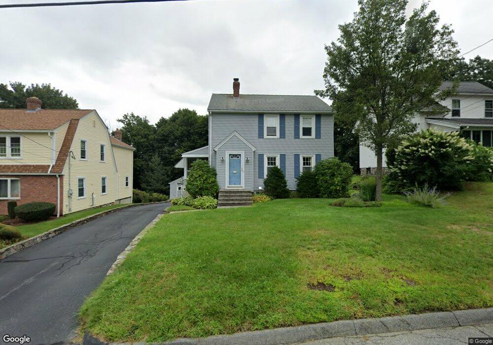
18 Hapgood Rd Worcester, MA 01605
Forest Grove NeighborhoodEstimated Value: $429,000 - $511,000
3
Beds
2
Baths
1,380
Sq Ft
$333/Sq Ft
Est. Value
About This Home
This home is located at 18 Hapgood Rd, Worcester, MA 01605 and is currently estimated at $459,980, approximately $333 per square foot. 18 Hapgood Rd is a home located in Worcester County with nearby schools including Nelson Place Elementary School, Jacob Hiatt Magnet School, and Chandler Magnet.
Create a Home Valuation Report for This Property
The Home Valuation Report is an in-depth analysis detailing your home's value as well as a comparison with similar homes in the area
Home Values in the Area
Average Home Value in this Area
Tax History
| Year | Tax Paid | Tax Assessment Tax Assessment Total Assessment is a certain percentage of the fair market value that is determined by local assessors to be the total taxable value of land and additions on the property. | Land | Improvement |
|---|---|---|---|---|
| 2025 | $5,064 | $383,900 | $123,500 | $260,400 |
| 2024 | $4,989 | $362,800 | $123,500 | $239,300 |
| 2023 | $4,768 | $332,500 | $106,300 | $226,200 |
| 2022 | $4,394 | $288,900 | $85,100 | $203,800 |
| 2021 | $4,190 | $257,400 | $68,100 | $189,300 |
| 2020 | $4,087 | $240,400 | $67,900 | $172,500 |
| 2019 | $4,025 | $223,600 | $65,500 | $158,100 |
| 2018 | $4,022 | $212,700 | $65,500 | $147,200 |
| 2017 | $3,896 | $202,700 | $65,500 | $137,200 |
| 2016 | $3,922 | $190,300 | $53,400 | $136,900 |
| 2015 | $3,819 | $190,300 | $53,400 | $136,900 |
| 2014 | $3,732 | $191,000 | $53,400 | $137,600 |
Source: Public Records
Map
Nearby Homes
Your Personal Tour Guide
Ask me questions while you tour the home.