18 Lake Rd Newport, NH 03773
Estimated Value: $365,000 - $540,304
2
Beds
1
Bath
839
Sq Ft
$531/Sq Ft
Est. Value
About This Home
This home is located at 18 Lake Rd, Newport, NH 03773 and is currently estimated at $445,576, approximately $531 per square foot. 18 Lake Rd is a home with nearby schools including Unity Elementary School.
Ownership History
Date
Name
Owned For
Owner Type
Purchase Details
Closed on
Nov 1, 2023
Sold by
Freeland Beth A
Bought by
18 Lake Road Llc
Current Estimated Value
Purchase Details
Closed on
Nov 9, 2007
Sold by
Kirvin William G
Bought by
Freeland Beth A
Home Financials for this Owner
Home Financials are based on the most recent Mortgage that was taken out on this home.
Original Mortgage
$213,750
Interest Rate
6.47%
Mortgage Type
Purchase Money Mortgage
Create a Home Valuation Report for This Property
The Home Valuation Report is an in-depth analysis detailing your home's value as well as a comparison with similar homes in the area
Home Values in the Area
Average Home Value in this Area
Purchase History
| Date | Buyer | Sale Price | Title Company |
|---|---|---|---|
| 18 Lake Road Llc | -- | None Available | |
| Freeland Beth A | $285,000 | -- |
Source: Public Records
Mortgage History
| Date | Status | Borrower | Loan Amount |
|---|---|---|---|
| Previous Owner | Freeland Beth A | $213,750 |
Source: Public Records
Tax History Compared to Growth
Tax History
| Year | Tax Paid | Tax Assessment Tax Assessment Total Assessment is a certain percentage of the fair market value that is determined by local assessors to be the total taxable value of land and additions on the property. | Land | Improvement |
|---|---|---|---|---|
| 2024 | $8,405 | $482,200 | $367,500 | $114,700 |
| 2023 | $7,211 | $240,700 | $191,500 | $49,200 |
| 2022 | $6,978 | $240,700 | $191,500 | $49,200 |
| 2021 | $6,889 | $240,700 | $191,500 | $49,200 |
| 2020 | $6,687 | $240,700 | $191,500 | $49,200 |
| 2019 | $6,858 | $240,700 | $191,500 | $49,200 |
| 2018 | $5,901 | $197,100 | $139,700 | $57,400 |
| 2017 | $5,700 | $197,100 | $139,700 | $57,400 |
| 2016 | $5,939 | $197,100 | $139,700 | $57,400 |
| 2015 | $5,438 | $197,100 | $139,700 | $57,400 |
| 2014 | $5,209 | $197,100 | $139,700 | $57,400 |
| 2013 | $2,369 | $95,900 | $27,000 | $68,900 |
Source: Public Records
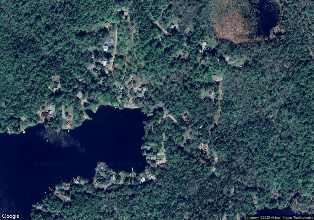
Map
Nearby Homes
- 219 Crescent Lake Rd
- 189 S Hedgehog Hill Rd
- 315 Gove Rd
- 144 Keyes Hollow Rd
- 23 Potato Hill Rd
- 444 Potato Hill Rd
- 6 Benway Hill Rd
- 0 Allen Rd
- 275 Mica Mine Rd
- 495 Mica Mine Rd
- 87 Old Chandlers Mills Rd
- 741 2nd Nh Turnpike
- Lot 21 Dodge Pond Ln
- 004 W Unity Rd
- 003 W Unity Rd
- 02 W Unity Rd
- 94 Cold Pond Rd
- 8 Skyline Rd
- 17 S Hill Dr
- 00 Stage Rd Unit 440