18 Larkspur Cir Georgetown, MA 01833
Estimated Value: $822,436 - $875,000
2
Beds
3
Baths
2,369
Sq Ft
$357/Sq Ft
Est. Value
About This Home
This home is located at 18 Larkspur Cir, Georgetown, MA 01833 and is currently estimated at $845,859, approximately $357 per square foot. 18 Larkspur Cir is a home located in Essex County with nearby schools including Perley Elementary School, Penn Brook School, and Georgetown High School.
Ownership History
Date
Name
Owned For
Owner Type
Purchase Details
Closed on
Oct 7, 2025
Sold by
Reily Thomas W
Bought by
Thomas W Reily Irt and Reily
Current Estimated Value
Purchase Details
Closed on
Nov 6, 2020
Sold by
Reily Frances L and Reily Thomas W
Bought by
Reily Thomas W
Purchase Details
Closed on
Jul 27, 2006
Sold by
Pulte Homes Of Ne Llc
Bought by
Reily Thomas W
Home Financials for this Owner
Home Financials are based on the most recent Mortgage that was taken out on this home.
Original Mortgage
$417,000
Interest Rate
6.67%
Mortgage Type
Purchase Money Mortgage
Create a Home Valuation Report for This Property
The Home Valuation Report is an in-depth analysis detailing your home's value as well as a comparison with similar homes in the area
Home Values in the Area
Average Home Value in this Area
Purchase History
| Date | Buyer | Sale Price | Title Company |
|---|---|---|---|
| Thomas W Reily Irt | -- | -- | |
| Reily Thomas W | -- | None Available | |
| Reily Thomas W | $489,900 | -- |
Source: Public Records
Mortgage History
| Date | Status | Borrower | Loan Amount |
|---|---|---|---|
| Previous Owner | Reily Thomas W | $150,000 | |
| Previous Owner | Reily Thomas W | $417,000 |
Source: Public Records
Tax History Compared to Growth
Tax History
| Year | Tax Paid | Tax Assessment Tax Assessment Total Assessment is a certain percentage of the fair market value that is determined by local assessors to be the total taxable value of land and additions on the property. | Land | Improvement |
|---|---|---|---|---|
| 2025 | $7,787 | $704,100 | $0 | $704,100 |
| 2024 | $8,836 | $704,100 | $0 | $704,100 |
| 2023 | $8,455 | $651,400 | $0 | $651,400 |
| 2022 | $7,623 | $541,400 | $0 | $541,400 |
| 2021 | $8,603 | $541,400 | $0 | $541,400 |
| 2020 | $8,619 | $541,400 | $0 | $541,400 |
| 2019 | $7,596 | $481,400 | $0 | $481,400 |
| 2018 | $7,645 | $481,400 | $0 | $481,400 |
| 2017 | $6,152 | $379,500 | $0 | $379,500 |
| 2016 | $5,434 | $342,400 | $0 | $342,400 |
| 2015 | $5,611 | $350,000 | $0 | $350,000 |
| 2014 | $4,918 | $350,000 | $0 | $350,000 |
Source: Public Records
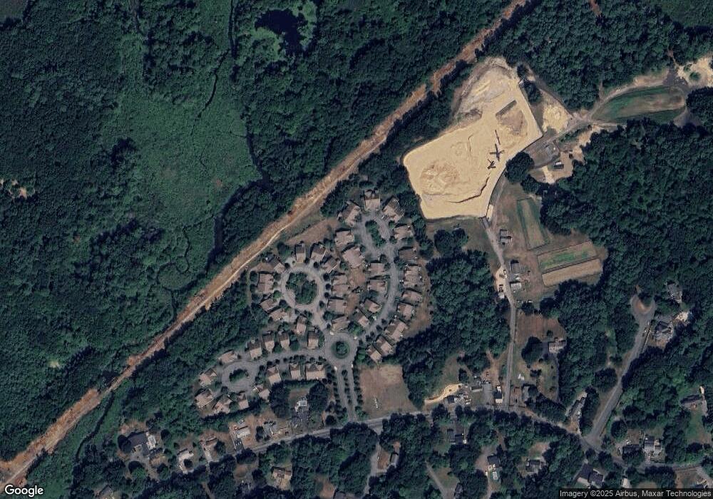
Map
Nearby Homes
- 123 Pond St
- 18 Larch Rd
- 51 W Main St Unit 6
- 6 Winter St
- 34 E Main St Unit 2
- 52 E Main St
- 5 Charles St
- 79 Andover St
- 206 W Main St Unit 3
- 206 W Main St Unit 5
- 206 W Main St Unit 6
- 206 W Main St Unit 4
- 231 W Main St
- 11 Canterbury Dr
- 10 Noyes Rd
- 135 Central St
- 9 Hawk Way
- 15 Knobb Hill
- 21 Main St
- 66 Parish Rd Unit 4
- 19 Larkspur Cir
- 17 Larkspur Cir
- 5 Pimpernel Cir
- 5 Pimpernel Cir Unit 28
- 20 Larkspur Cir
- 4 Pimpernel Cir
- 3 Pimpernel Cir
- 3 Pimpernel Cir Unit 26
- 6 Pimpernel Cir
- 21 Larkspur Cir
- 16 Larkspur Cir
- 15 Larkspur Cir
- 2 Pimpernel Cir
- 2 Pimpernel Cir Unit 25
- 22 Larkspur Cir
- 22 Larkspur Cir Unit 22
- 9 Larkspur Cir
- 10 Larkspur Cir
- 7 Pimpernel Cir
- 7 Pimpernel Cir Unit 30