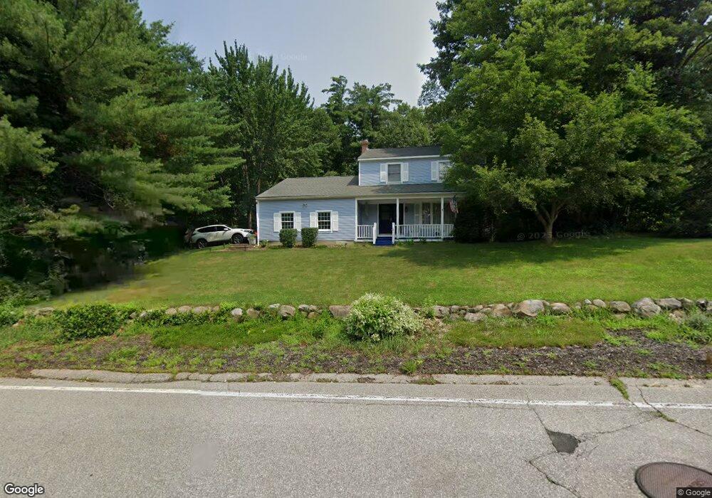
18 Lindsay Rd Hooksett, NH 03106
Estimated Value: $576,151 - $692,000
4
Beds
3
Baths
1,638
Sq Ft
$384/Sq Ft
Est. Value
About This Home
This home is located at 18 Lindsay Rd, Hooksett, NH 03106 and is currently estimated at $628,788, approximately $383 per square foot. 18 Lindsay Rd is a home located in Merrimack County with nearby schools including Fred C. Underhill School, Hooksett Memorial School, and David R. Cawley Middle School.
Ownership History
Date
Name
Owned For
Owner Type
Purchase Details
Closed on
Aug 13, 2002
Sold by
Woodlee Timothy C and Woodlee Joan Z
Bought by
York David and York Lydia
Current Estimated Value
Home Financials for this Owner
Home Financials are based on the most recent Mortgage that was taken out on this home.
Original Mortgage
$190,900
Outstanding Balance
$80,952
Interest Rate
6.58%
Estimated Equity
$547,836
Create a Home Valuation Report for This Property
The Home Valuation Report is an in-depth analysis detailing your home's value as well as a comparison with similar homes in the area
Home Values in the Area
Average Home Value in this Area
Purchase History
| Date | Buyer | Sale Price | Title Company |
|---|---|---|---|
| York David | $239,900 | -- |
Source: Public Records
Mortgage History
| Date | Status | Borrower | Loan Amount |
|---|---|---|---|
| Open | York David | $190,900 |
Source: Public Records
Tax History
| Year | Tax Paid | Tax Assessment Tax Assessment Total Assessment is a certain percentage of the fair market value that is determined by local assessors to be the total taxable value of land and additions on the property. | Land | Improvement |
|---|---|---|---|---|
| 2024 | $8,602 | $507,200 | $160,900 | $346,300 |
| 2023 | $8,105 | $507,200 | $160,900 | $346,300 |
| 2022 | $7,126 | $296,300 | $107,300 | $189,000 |
| 2021 | $6,584 | $296,300 | $107,300 | $189,000 |
| 2020 | $6,670 | $296,300 | $107,300 | $189,000 |
| 2019 | $6,385 | $296,300 | $107,300 | $189,000 |
| 2018 | $6,554 | $296,300 | $107,300 | $189,000 |
| 2017 | $6,174 | $230,900 | $90,800 | $140,100 |
| 2016 | $6,093 | $230,900 | $90,800 | $140,100 |
| 2015 | $3,973 | $230,900 | $90,800 | $140,100 |
| 2014 | $3,802 | $230,900 | $90,800 | $140,100 |
| 2013 | -- | $230,900 | $90,800 | $140,100 |
Source: Public Records
Map
Nearby Homes
- 32 Lindsay Rd
- 34 Lindsay Rd
- 5 Thistle Ln
- 10 Dewberry Ln
- 286B Londonderry Turnpike Unit A
- 27 Martins Ferry Rd
- 286 Londonderry Turnpike Unit A
- 1465 Hooksett Rd Unit 287
- 1465 Hooksett Rd Unit 418
- 1465 Hooksett Rd Unit 183
- 1465 Hooksett Rd Unit 1003
- 1465 Hooksett Rd Unit 390
- 267 Londonderry Turnpike
- 9 Lancelot Dr
- 199 Whitehall Rd
- 197 Whitehall Rd
- 245 W River Rd
- 29 Dale Rd
- 5 Cross Rd
- 1601 Hooksett Rd