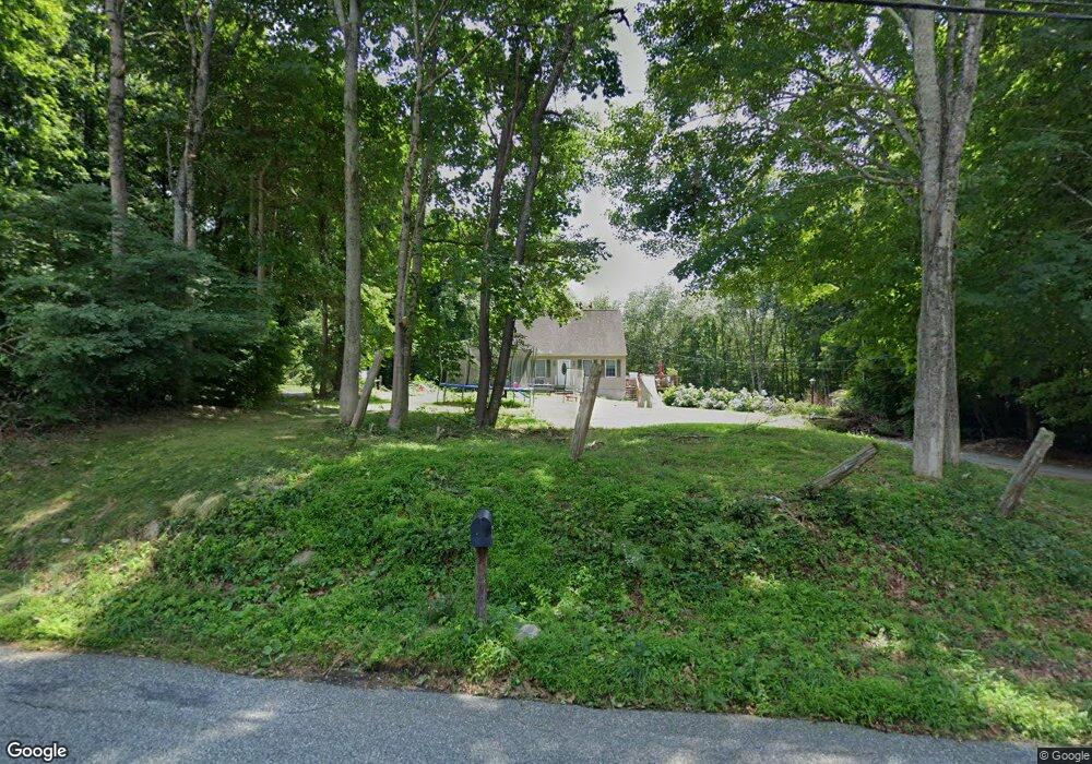
18 Long Society Rd Preston, CT 06365
Estimated Value: $322,735 - $354,000
3
Beds
1
Bath
1,075
Sq Ft
$314/Sq Ft
Est. Value
About This Home
This home is located at 18 Long Society Rd, Preston, CT 06365 and is currently estimated at $337,934, approximately $314 per square foot. 18 Long Society Rd is a home located in New London County with nearby schools including Integrated Day Charter School, St. Joseph School, and St. Patrick Cathedral School.
Ownership History
Date
Name
Owned For
Owner Type
Purchase Details
Closed on
Oct 17, 1996
Sold by
Brenmor Prop Llc
Bought by
Porter Sherrian L
Current Estimated Value
Home Financials for this Owner
Home Financials are based on the most recent Mortgage that was taken out on this home.
Original Mortgage
$95,000
Interest Rate
7.88%
Mortgage Type
Unknown
Create a Home Valuation Report for This Property
The Home Valuation Report is an in-depth analysis detailing your home's value as well as a comparison with similar homes in the area
Home Values in the Area
Average Home Value in this Area
Purchase History
| Date | Buyer | Sale Price | Title Company |
|---|---|---|---|
| Porter Sherrian L | $105,000 | -- |
Source: Public Records
Mortgage History
| Date | Status | Borrower | Loan Amount |
|---|---|---|---|
| Open | Porter Sherrian L | $130,000 | |
| Closed | Porter Sherrian L | $50,000 | |
| Closed | Porter Sherrian L | $95,000 |
Source: Public Records
Tax History Compared to Growth
Tax History
| Year | Tax Paid | Tax Assessment Tax Assessment Total Assessment is a certain percentage of the fair market value that is determined by local assessors to be the total taxable value of land and additions on the property. | Land | Improvement |
|---|---|---|---|---|
| 2025 | $4,329 | $172,410 | $54,530 | $117,880 |
| 2024 | $4,029 | $172,410 | $54,530 | $117,880 |
| 2023 | $3,957 | $172,410 | $54,530 | $117,880 |
| 2022 | $3,454 | $123,900 | $47,600 | $76,300 |
| 2021 | $3,338 | $123,900 | $47,600 | $76,300 |
| 2020 | $3,298 | $122,600 | $47,600 | $75,000 |
| 2019 | $3,240 | $122,600 | $47,600 | $75,000 |
| 2018 | $3,191 | $122,600 | $47,600 | $75,000 |
| 2017 | $3,031 | $126,300 | $47,600 | $78,700 |
| 2016 | $3,000 | $126,300 | $47,600 | $78,700 |
| 2015 | $2,905 | $126,300 | $47,600 | $78,700 |
| 2014 | $2,869 | $124,000 | $47,600 | $76,400 |
Source: Public Records
Map
Nearby Homes
- 1 Long Society Rd
- 9 Daniel St
- 59 Long Society Rd
- 63 Route 165
- 19 Cedarcrest Dr
- 168 Corning Rd
- 296 Hamilton Ave Unit 29
- 303 Central Ave
- 625 N Main St Unit 627
- 406 Central Ave Unit 408
- 197 Central Ave
- 252 Prospect St Unit 254
- 188 Central Ave
- 180 Central Ave
- 67 Corning Rd Unit 3
- 556 Boswell Ave
- 31 Prospect St
- 607A Boswell Ave
- 367 Boswell Ave
- 47 McClimon Rd
- 5 Corning Rd
- 23 Long Society Rd
- 24 Long Society Rd
- 15 Long Society Rd
- 20 Long Society Rd
- 2 Brickyard Rd
- 2 Corning Rd
- 29 Long Society Rd
- 28 Long Society Rd
- 8 Brickyard Rd
- 1 Brickyard Rd
- 236 Corning Rd
- 33 Long Society Rd
- 7 Brickyard Rd
- 35 Long Society Rd
- 37 Long Society Rd
- 12 Hillside Ct
- 36 Long Society Rd
- 14 Brickyard Rd
- 11 Brickyard Rd