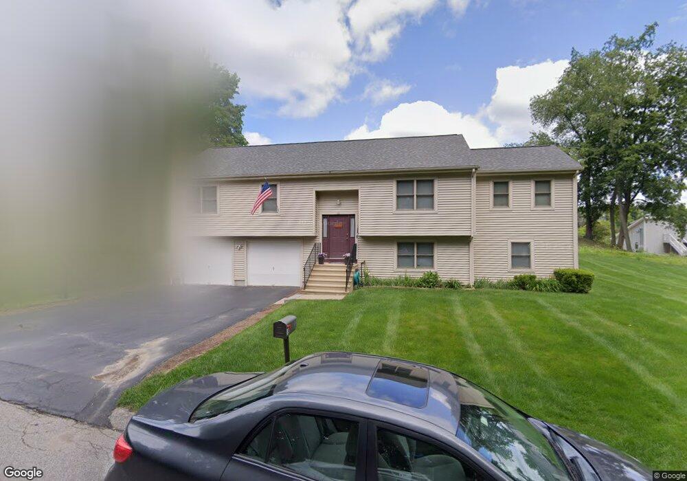
18 Newton St Auburn, MA 01501
Pakachoag NeighborhoodEstimated Value: $425,000 - $596,000
3
Beds
2
Baths
1,556
Sq Ft
$327/Sq Ft
Est. Value
About This Home
This home is located at 18 Newton St, Auburn, MA 01501 and is currently estimated at $508,436, approximately $326 per square foot. 18 Newton St is a home located in Worcester County with nearby schools including Auburn Senior High School, Canterbury Street School, and St Peter Central Catholic Elementary School.
Ownership History
Date
Name
Owned For
Owner Type
Purchase Details
Closed on
Feb 10, 2005
Sold by
Baker Andrew P
Bought by
Kaouris-Vangos Athena M and Vangos Constantine P
Current Estimated Value
Home Financials for this Owner
Home Financials are based on the most recent Mortgage that was taken out on this home.
Original Mortgage
$224,000
Outstanding Balance
$114,454
Interest Rate
5.83%
Mortgage Type
Purchase Money Mortgage
Estimated Equity
$393,982
Create a Home Valuation Report for This Property
The Home Valuation Report is an in-depth analysis detailing your home's value as well as a comparison with similar homes in the area
Home Values in the Area
Average Home Value in this Area
Purchase History
| Date | Buyer | Sale Price | Title Company |
|---|---|---|---|
| Kaouris-Vangos Athena M | $280,000 | -- |
Source: Public Records
Mortgage History
| Date | Status | Borrower | Loan Amount |
|---|---|---|---|
| Open | Kaouris-Vangos Athena M | $224,000 |
Source: Public Records
Tax History Compared to Growth
Tax History
| Year | Tax Paid | Tax Assessment Tax Assessment Total Assessment is a certain percentage of the fair market value that is determined by local assessors to be the total taxable value of land and additions on the property. | Land | Improvement |
|---|---|---|---|---|
| 2025 | $64 | $448,500 | $108,500 | $340,000 |
| 2024 | $6,354 | $425,600 | $103,100 | $322,500 |
| 2023 | $6,049 | $380,900 | $93,700 | $287,200 |
| 2022 | $5,554 | $330,200 | $93,700 | $236,500 |
| 2021 | $5,360 | $295,500 | $82,700 | $212,800 |
| 2020 | $19,963 | $295,500 | $82,700 | $212,800 |
| 2019 | $325 | $292,800 | $77,500 | $215,300 |
| 2018 | $326 | $284,100 | $72,500 | $211,600 |
| 2017 | $5,003 | $272,800 | $65,700 | $207,100 |
| 2016 | $4,881 | $269,800 | $69,100 | $200,700 |
| 2015 | $4,615 | $267,400 | $69,100 | $198,300 |
| 2014 | $4,449 | $257,300 | $65,800 | $191,500 |
Source: Public Records
Map
Nearby Homes
- 6 Newton St
- 37 Elmwood St
- 61 Elmwood St
- 204-212 Hampton St
- 22 Lesley Ave
- 30 Davenport St
- 72 Sophia Dr
- 55 Tennyson St
- 4 S Edlin St
- 10 Steele St
- 29 Steele St
- 5 Commonwealth Ave
- 31 Camp St
- 24 Litchfield St
- 141 Cambridge St
- 17 Thenius St
- 25 Vinal St Unit 26
- 25 Vinal St Unit 29
- 25 Vinal St Unit 30
- 2 Mystic St