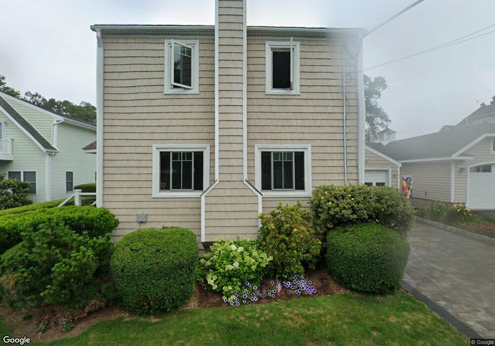
18 Pawson Trail Branford, CT 06405
Estimated Value: $672,755 - $819,000
2
Beds
3
Baths
1,276
Sq Ft
$596/Sq Ft
Est. Value
About This Home
This home is located at 18 Pawson Trail, Branford, CT 06405 and is currently estimated at $760,939, approximately $596 per square foot. 18 Pawson Trail is a home located in New Haven County with nearby schools including Francis Walsh Intermediate School, Branford High School, and St Mary School.
Ownership History
Date
Name
Owned For
Owner Type
Purchase Details
Closed on
May 30, 1995
Sold by
Cestari Mark R and Cestari Laura R
Bought by
Fitzgerald Robert L and Fitzgerald Mary Anne
Current Estimated Value
Home Financials for this Owner
Home Financials are based on the most recent Mortgage that was taken out on this home.
Original Mortgage
$184,500
Interest Rate
6.25%
Mortgage Type
Unknown
Purchase Details
Closed on
May 19, 1988
Sold by
Grandinette George
Bought by
Sectari Mark R
Home Financials for this Owner
Home Financials are based on the most recent Mortgage that was taken out on this home.
Original Mortgage
$206,300
Interest Rate
10.13%
Create a Home Valuation Report for This Property
The Home Valuation Report is an in-depth analysis detailing your home's value as well as a comparison with similar homes in the area
Home Values in the Area
Average Home Value in this Area
Purchase History
| Date | Buyer | Sale Price | Title Company |
|---|---|---|---|
| Fitzgerald Robert L | $205,000 | -- | |
| Sectari Mark R | $275,000 | -- |
Source: Public Records
Mortgage History
| Date | Status | Borrower | Loan Amount |
|---|---|---|---|
| Closed | Sectari Mark R | $92,000 | |
| Closed | Sectari Mark R | $184,500 | |
| Previous Owner | Sectari Mark R | $206,300 |
Source: Public Records
Tax History Compared to Growth
Tax History
| Year | Tax Paid | Tax Assessment Tax Assessment Total Assessment is a certain percentage of the fair market value that is determined by local assessors to be the total taxable value of land and additions on the property. | Land | Improvement |
|---|---|---|---|---|
| 2025 | $8,504 | $397,400 | $200,300 | $197,100 |
| 2024 | $6,846 | $224,600 | $120,800 | $103,800 |
| 2023 | $6,713 | $224,600 | $120,800 | $103,800 |
| 2022 | $6,614 | $224,600 | $120,800 | $103,800 |
| 2021 | $6,614 | $224,600 | $120,800 | $103,800 |
| 2020 | $6,495 | $224,600 | $120,800 | $103,800 |
| 2019 | $6,593 | $226,800 | $120,800 | $106,000 |
| 2018 | $6,496 | $226,800 | $120,800 | $106,000 |
| 2017 | $6,457 | $226,800 | $120,800 | $106,000 |
| 2016 | $6,217 | $226,800 | $120,800 | $106,000 |
| 2015 | $6,121 | $227,300 | $120,800 | $106,500 |
| 2014 | $6,096 | $232,300 | $132,900 | $99,400 |
Source: Public Records
Map
Nearby Homes
- 15 River Rd
- 21 Harbor St
- 75 Harbor St
- 13 Fenway Rd
- 3 Bayview Ave
- 58 Quarry Dock Rd
- 94 Summer Island Rd
- 40 Fair Winds Unit 40
- 10 Montgomery Pkwy
- 74 Quarry Dock Rd
- 5 Maltby St
- 22 Bayberry Ln
- 7 Harbour Village Unit A
- 22 Rock Pasture Rd
- 7 Jourdan Rd
- 60 Maple St Unit 31
- 74 Turtle Bay Dr Unit 74
- 90 Turtle Bay Dr
- 18 Linsley St
- 301 Maple St