18 Pit Rd Silver Lake, NH 03875
Estimated Value: $313,000 - $446,000
1
Bed
2
Baths
1,557
Sq Ft
$230/Sq Ft
Est. Value
About This Home
This home is located at 18 Pit Rd, Silver Lake, NH 03875 and is currently estimated at $358,803, approximately $230 per square foot. 18 Pit Rd is a home located in Carroll County with nearby schools including Madison Elementary School.
Ownership History
Date
Name
Owned For
Owner Type
Purchase Details
Closed on
Aug 28, 2007
Sold by
Deutsche Bank Natl T C
Bought by
Levesque Michael J and Levesque Carla A
Current Estimated Value
Home Financials for this Owner
Home Financials are based on the most recent Mortgage that was taken out on this home.
Original Mortgage
$90,250
Interest Rate
6.78%
Mortgage Type
Purchase Money Mortgage
Purchase Details
Closed on
Dec 7, 2006
Sold by
Burke Kenneth T
Bought by
Deutsche Bank Natl T C
Create a Home Valuation Report for This Property
The Home Valuation Report is an in-depth analysis detailing your home's value as well as a comparison with similar homes in the area
Home Values in the Area
Average Home Value in this Area
Purchase History
| Date | Buyer | Sale Price | Title Company |
|---|---|---|---|
| Levesque Michael J | $95,000 | -- | |
| Deutsche Bank Natl T C | $140,300 | -- |
Source: Public Records
Mortgage History
| Date | Status | Borrower | Loan Amount |
|---|---|---|---|
| Open | Deutsche Bank Natl T C | $98,000 | |
| Closed | Deutsche Bank Natl T C | $90,250 |
Source: Public Records
Tax History Compared to Growth
Tax History
| Year | Tax Paid | Tax Assessment Tax Assessment Total Assessment is a certain percentage of the fair market value that is determined by local assessors to be the total taxable value of land and additions on the property. | Land | Improvement |
|---|---|---|---|---|
| 2024 | $2,621 | $166,200 | $35,400 | $130,800 |
| 2023 | $2,822 | $166,200 | $35,400 | $130,800 |
| 2022 | $2,574 | $166,200 | $35,400 | $130,800 |
| 2021 | $2,264 | $164,400 | $33,600 | $130,800 |
| 2020 | $2,515 | $164,400 | $33,600 | $130,800 |
| 2019 | $2,467 | $135,100 | $29,700 | $105,400 |
| 2018 | $2,557 | $135,100 | $29,700 | $105,400 |
| 2017 | $2,283 | $135,100 | $29,700 | $105,400 |
Source: Public Records
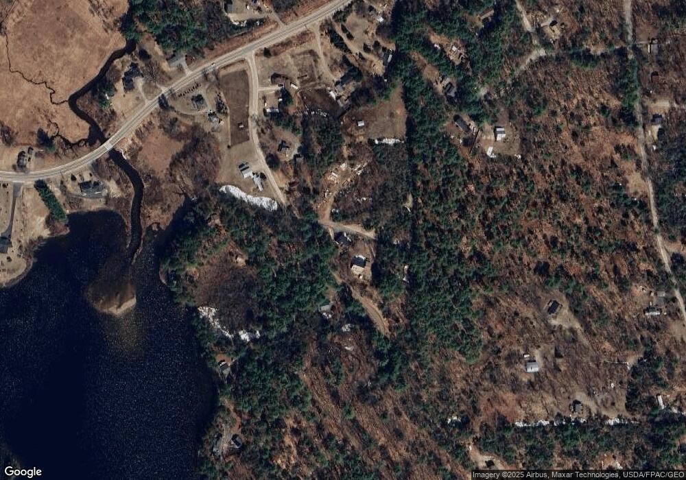
Map
Nearby Homes
- 1311 Village Rd
- 121 Charlotte Point Rd
- 126 Forest Pines Rd
- 2160 Village Rd
- 65 Conway Rd
- 748 Plains Rd
- 0 Conway Rd Unit 107
- 00 Mooney Hill Rd
- 10 Alexander Ave
- 00 Caroline Rd
- 330 Benjamin Wentworth Dr
- 238-1-1 Maple Grove Rd
- 238-1-1.2 Maple Grove Rd
- 238-1-1.3 Maple Grove Rd
- 0 Alden Washburn Dr Unit 5066667
- 00 Alden Washburn Dr
- 198 White Tail Ln
- 49 Deer Hill Rd
- 70 White Mountain Hwy
- 70 Peak Vista Ln