18 Rocky Ledge Rd MerriMacK, NH 03054
Estimated Value: $356,000 - $418,000
2
Beds
3
Baths
1,873
Sq Ft
$205/Sq Ft
Est. Value
About This Home
This home is located at 18 Rocky Ledge Rd, MerriMacK, NH 03054 and is currently estimated at $383,227, approximately $204 per square foot. 18 Rocky Ledge Rd is a home located in Hillsborough County with nearby schools including Reeds Ferry School, James Mastricola Upper Elementary School, and Merrimack Middle School.
Ownership History
Date
Name
Owned For
Owner Type
Purchase Details
Closed on
Sep 15, 2006
Sold by
Kane James M
Bought by
Nelson Karen K and Nelson Cynthia A
Current Estimated Value
Home Financials for this Owner
Home Financials are based on the most recent Mortgage that was taken out on this home.
Original Mortgage
$222,244
Interest Rate
6.71%
Create a Home Valuation Report for This Property
The Home Valuation Report is an in-depth analysis detailing your home's value as well as a comparison with similar homes in the area
Home Values in the Area
Average Home Value in this Area
Purchase History
| Date | Buyer | Sale Price | Title Company |
|---|---|---|---|
| Nelson Karen K | $224,000 | -- |
Source: Public Records
Mortgage History
| Date | Status | Borrower | Loan Amount |
|---|---|---|---|
| Open | Nelson Karen K | $216,267 | |
| Closed | Nelson Karen K | $225,577 | |
| Closed | Nelson Karen K | $222,244 | |
| Previous Owner | Nelson Karen K | $40,000 |
Source: Public Records
Tax History Compared to Growth
Tax History
| Year | Tax Paid | Tax Assessment Tax Assessment Total Assessment is a certain percentage of the fair market value that is determined by local assessors to be the total taxable value of land and additions on the property. | Land | Improvement |
|---|---|---|---|---|
| 2024 | $3,532 | $170,700 | $0 | $170,700 |
| 2023 | $5,123 | $263,400 | $0 | $263,400 |
| 2022 | $4,578 | $263,400 | $0 | $263,400 |
| 2021 | $4,523 | $263,400 | $0 | $263,400 |
| 2020 | $4,490 | $186,600 | $0 | $186,600 |
| 2019 | $4,503 | $186,600 | $0 | $186,600 |
| 2018 | $4,501 | $186,600 | $0 | $186,600 |
| 2017 | $4,361 | $186,600 | $0 | $186,600 |
| 2016 | $4,253 | $186,600 | $0 | $186,600 |
| 2015 | $4,200 | $169,900 | $0 | $169,900 |
| 2014 | $4,093 | $169,900 | $0 | $169,900 |
| 2013 | $4,261 | $178,200 | $0 | $178,200 |
Source: Public Records
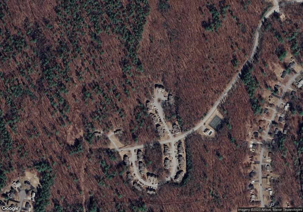
Map
Nearby Homes
- 6 Boulder Way
- 115 Back River Rd
- 21 Adams Green
- 33 Belmont Dr
- 5 Barbie Ct
- 29 Bedford Rd
- 56 Greenfield Pkwy
- 5 Crosswoods Path Blvd Unit B4
- 20 Summit Rd
- 14 Bernards Rd
- 32 Summit Rd
- 36 Summit Rd
- 217 Liberty Hill Rd
- 80 Wire Rd
- 55 Camelot Dr
- 9 Mustang Dr Unit END UNIT-D
- 9 Mustang Dr Unit B
- 19 Vista Way
- 3-C Mustang Dr Unit MODEL
- 12 Sandhill Dr
- 20 Rocky Ledge Rd
- 29 Chestnut Cir
- 27 Chestnut Cir
- 20 Chestnut Cir
- 19 Chestnut Cir
- 18 Chestnut Cir
- 17 Chestnut Cir
- 16 Chestnut Cir
- 10 Chestnut Cir
- 9 Chestnut Cir
- 8 Chestnut Cir
- 7 Chestnut Cir
- 22 Aspen Ln
- 32 Cricket Hill Dr
- 34 Cricket Hill Dr
- 39 Cricket Hill Dr
- 36 Cricket Hill Dr
- 26 Cricket Hill Dr
- 2 Chestnut Cir
- 33 Blossom Ln