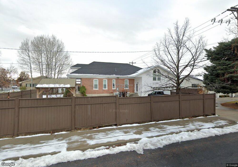
18 S Main St Alpine, UT 84004
Estimated Value: $682,000 - $888,000
6
Beds
3
Baths
4,049
Sq Ft
$198/Sq Ft
Est. Value
About This Home
This home is located at 18 S Main St, Alpine, UT 84004 and is currently estimated at $801,690, approximately $197 per square foot. 18 S Main St is a home located in Utah County with nearby schools including Westfield School, Timberline Middle School, and Lone Peak High School.
Ownership History
Date
Name
Owned For
Owner Type
Purchase Details
Closed on
Aug 25, 2023
Sold by
Hemingway David J and Hemingway Wendy
Bought by
Daw Mitchell and Daw Caitlyn
Current Estimated Value
Home Financials for this Owner
Home Financials are based on the most recent Mortgage that was taken out on this home.
Original Mortgage
$487,500
Outstanding Balance
$474,820
Interest Rate
6.96%
Mortgage Type
New Conventional
Estimated Equity
$326,870
Purchase Details
Closed on
Nov 11, 2011
Sold by
Hemingway David J and Hemingway Wendy
Bought by
Larsen David Larry and David Larry Larsen Trust
Purchase Details
Closed on
Apr 16, 2003
Sold by
Larsen Jill H and Hemingway David J
Bought by
Hemingway David J and Hemingway Wendy
Home Financials for this Owner
Home Financials are based on the most recent Mortgage that was taken out on this home.
Original Mortgage
$190,000
Interest Rate
5.6%
Mortgage Type
Purchase Money Mortgage
Purchase Details
Closed on
Nov 9, 1999
Sold by
Hemingway Robert Downie and Hemingway Ula Burgess
Bought by
Hemingway David J and Hemingway Wendy L
Home Financials for this Owner
Home Financials are based on the most recent Mortgage that was taken out on this home.
Original Mortgage
$112,000
Interest Rate
10.5%
Create a Home Valuation Report for This Property
The Home Valuation Report is an in-depth analysis detailing your home's value as well as a comparison with similar homes in the area
Home Values in the Area
Average Home Value in this Area
Purchase History
| Date | Buyer | Sale Price | Title Company |
|---|---|---|---|
| Daw Mitchell | -- | Meridian Title Company | |
| Larsen David Larry | -- | None Available | |
| Hemingway David J | -- | Title One Inc | |
| Hemingway David J | -- | Backman Stewart Title |
Source: Public Records
Mortgage History
| Date | Status | Borrower | Loan Amount |
|---|---|---|---|
| Open | Daw Mitchell | $487,500 | |
| Previous Owner | Hemingway David J | $190,000 | |
| Previous Owner | Hemingway David J | $112,000 |
Source: Public Records
Tax History
| Year | Tax Paid | Tax Assessment Tax Assessment Total Assessment is a certain percentage of the fair market value that is determined by local assessors to be the total taxable value of land and additions on the property. | Land | Improvement |
|---|---|---|---|---|
| 2025 | $2,887 | $375,760 | -- | -- |
| 2024 | $2,887 | $336,490 | $0 | $0 |
| 2023 | $2,536 | $317,350 | $0 | $0 |
| 2022 | $2,487 | $302,280 | $0 | $0 |
| 2021 | $1,939 | $366,100 | $211,100 | $155,000 |
| 2020 | $1,793 | $331,200 | $183,600 | $147,600 |
| 2019 | $1,676 | $323,300 | $183,600 | $139,700 |
| 2018 | $1,658 | $316,000 | $176,300 | $139,700 |
| 2017 | $1,674 | $169,730 | $0 | $0 |
Source: Public Records
Map
Nearby Homes
- 30 S Main St
- 48 N 100 E
- 250 S Main St Unit 25
- 250 S Main St Unit 9
- 250 S Main St Unit 7
- 259 Twin River Loop
- 248 Deerfield Dr
- 151 Glacier Lily Dr
- 366 River Rd
- 475 Grove Dr
- 499 E 300 N
- 596 S Cascade Ct
- 501 W Devey Dr
- 202 E Alpine Dr
- 353 International Way
- 887 E Village Way
- 243 W Conrad Ct
- 868 S Braddock Ln
- 875 S Blue Ridge Ln
- 820 Eagleview Dr
Your Personal Tour Guide
Ask me questions while you tour the home.