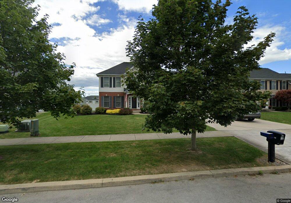
18 Sawgrass Ln Lancaster, NY 14086
Estimated Value: $598,000 - $754,000
4
Beds
3
Baths
2,942
Sq Ft
$236/Sq Ft
Est. Value
About This Home
This home is located at 18 Sawgrass Ln, Lancaster, NY 14086 and is currently estimated at $695,037, approximately $236 per square foot. 18 Sawgrass Ln is a home located in Erie County with nearby schools including William Street School, Lancaster Middle School, and Lancaster High School.
Ownership History
Date
Name
Owned For
Owner Type
Purchase Details
Closed on
Jun 11, 2008
Sold by
Cleveland Mark F
Bought by
Lyman David J and Lyman Michelle G
Current Estimated Value
Home Financials for this Owner
Home Financials are based on the most recent Mortgage that was taken out on this home.
Original Mortgage
$302,849
Outstanding Balance
$194,286
Interest Rate
6.13%
Mortgage Type
Purchase Money Mortgage
Estimated Equity
$500,751
Purchase Details
Closed on
Apr 17, 2007
Sold by
Cl & F Development Llc
Bought by
Cleveland Mark F
Home Financials for this Owner
Home Financials are based on the most recent Mortgage that was taken out on this home.
Original Mortgage
$224,900
Interest Rate
6.24%
Mortgage Type
Purchase Money Mortgage
Create a Home Valuation Report for This Property
The Home Valuation Report is an in-depth analysis detailing your home's value as well as a comparison with similar homes in the area
Home Values in the Area
Average Home Value in this Area
Purchase History
| Date | Buyer | Sale Price | Title Company |
|---|---|---|---|
| Lyman David J | $336,500 | First Amer Title Ins Co Ny | |
| Lyman David J | $336,500 | First Amer Title Ins Co Ny | |
| Cleveland Mark F | $55,000 | None Available | |
| Cleveland Mark F | $55,000 | None Available |
Source: Public Records
Mortgage History
| Date | Status | Borrower | Loan Amount |
|---|---|---|---|
| Open | Lyman David J | $302,849 | |
| Closed | Lyman David J | $302,849 | |
| Previous Owner | Cleveland Mark F | $224,900 |
Source: Public Records
Tax History
| Year | Tax Paid | Tax Assessment Tax Assessment Total Assessment is a certain percentage of the fair market value that is determined by local assessors to be the total taxable value of land and additions on the property. | Land | Improvement |
|---|---|---|---|---|
| 2024 | $12,354 | $455,000 | $70,000 | $385,000 |
| 2023 | $12,326 | $455,000 | $70,000 | $385,000 |
| 2022 | $11,989 | $455,000 | $70,000 | $385,000 |
| 2021 | $11,836 | $455,000 | $70,000 | $385,000 |
| 2020 | $11,548 | $455,000 | $70,000 | $385,000 |
| 2019 | $10,387 | $346,000 | $45,000 | $301,000 |
| 2018 | $10,735 | $346,000 | $45,000 | $301,000 |
| 2017 | $5,014 | $346,000 | $45,000 | $301,000 |
| 2016 | $10,414 | $346,000 | $45,000 | $301,000 |
| 2015 | -- | $346,000 | $45,000 | $301,000 |
| 2014 | -- | $346,000 | $45,000 | $301,000 |
Source: Public Records
Map
Nearby Homes
- 5924 Broadway St
- 6218 Broadway St
- v/l William St N
- 11 Cemetery Rd
- 5869 Broadway St
- 5502 William St
- 6 Fieldstream Ln
- 40 Fieldstream Ln
- 4 Fieldstream Ln
- 30 Sedge Run
- 24 Sedge Run
- 109 Grambo Dr
- 72 Michaels Walk
- 0 V L Ransom Lot 1 Unit B1664378
- 0 V L Ransom Lot 2 Unit B1664383
- 0 V L Ransom Lot 3 Unit B1664384
- 731 Ransom Rd
- 22 Washington St
- 203 Siebert Rd
- 27 Lombardy St
Your Personal Tour Guide
Ask me questions while you tour the home.