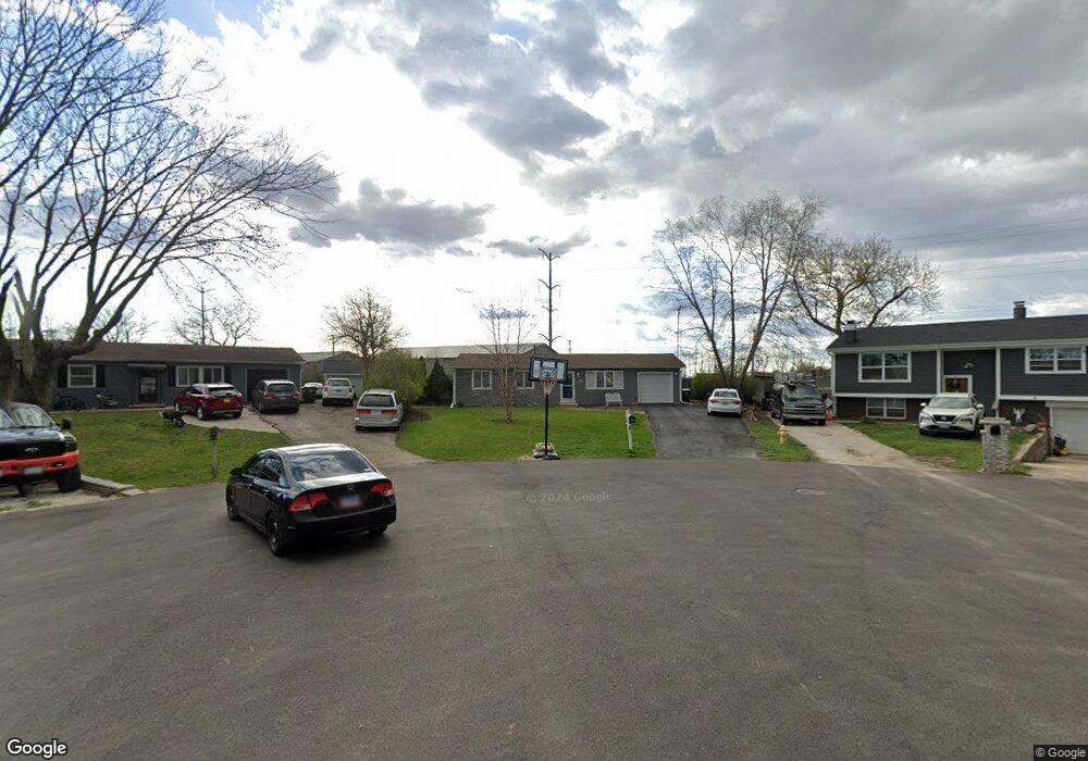
18 Shell Ct Oswego, IL 60543
Northwest Oswego NeighborhoodEstimated Value: $264,000 - $285,951
3
Beds
2
Baths
1,066
Sq Ft
$257/Sq Ft
Est. Value
About This Home
This home is located at 18 Shell Ct, Oswego, IL 60543 and is currently estimated at $273,488, approximately $256 per square foot. 18 Shell Ct is a home located in Kendall County with nearby schools including Fox Chase Elementary School, Traughber Junior High School, and Oswego High School.
Ownership History
Date
Name
Owned For
Owner Type
Purchase Details
Closed on
Sep 18, 2017
Sold by
West Kevin J and West Diane L
Bought by
Negre Daniel and Cope Ashley
Current Estimated Value
Home Financials for this Owner
Home Financials are based on the most recent Mortgage that was taken out on this home.
Original Mortgage
$130,000
Outstanding Balance
$108,442
Interest Rate
3.86%
Mortgage Type
New Conventional
Estimated Equity
$165,046
Purchase Details
Closed on
Jun 7, 1999
Sold by
West Diane L
Bought by
West Kevin J and West Diane L
Purchase Details
Closed on
Jan 15, 1999
Sold by
Holbert James F and Holbert Virginia Worthen
Bought by
West Diane L
Home Financials for this Owner
Home Financials are based on the most recent Mortgage that was taken out on this home.
Original Mortgage
$126,350
Interest Rate
6.92%
Create a Home Valuation Report for This Property
The Home Valuation Report is an in-depth analysis detailing your home's value as well as a comparison with similar homes in the area
Home Values in the Area
Average Home Value in this Area
Purchase History
We collect this data history from publicly available records. To have your information removed, we recommend requesting removal directly through your county’s website.
| Date | Buyer | Sale Price | Title Company |
|---|---|---|---|
| Negre Daniel | $150,000 | Fidelity National Title | |
| West Kevin J | -- | Chicago Title Insurance Co | |
| West Diane L | $133,000 | -- |
Source: Public Records
Mortgage History
We collect this data history from publicly available records. To have your information removed, we recommend requesting removal directly through your county’s website.
| Date | Status | Borrower | Loan Amount |
|---|---|---|---|
| Open | Negre Daniel | $130,000 | |
| Previous Owner | West Diane L | $126,350 |
Source: Public Records
Tax History
| Year | Tax Paid | Tax Assessment Tax Assessment Total Assessment is a certain percentage of the fair market value that is determined by local assessors to be the total taxable value of land and additions on the property. | Land | Improvement |
|---|---|---|---|---|
| 2024 | $5,803 | $79,306 | $18,498 | $60,808 |
| 2023 | $5,399 | $71,447 | $16,665 | $54,782 |
| 2022 | $5,399 | $66,773 | $15,575 | $51,198 |
| 2021 | $5,036 | $60,703 | $14,159 | $46,544 |
| 2020 | $4,668 | $56,206 | $13,110 | $43,096 |
| 2019 | $4,407 | $52,648 | $13,110 | $39,538 |
| 2018 | $4,069 | $48,748 | $12,139 | $36,609 |
| 2017 | $3,931 | $44,929 | $11,188 | $33,741 |
| 2016 | $3,749 | $42,587 | $10,605 | $31,982 |
| 2015 | $3,675 | $40,177 | $10,005 | $30,172 |
| 2014 | $3,634 | $37,903 | $9,439 | $28,464 |
| 2013 | $3,634 | $38,286 | $9,534 | $28,752 |
Source: Public Records
Map
Nearby Homes
- 11 Shell Ct
- 1900 Light Rd Unit 210
- 115 Harbor Dr
- 2400 Light Rd Unit 112
- 7.43 Acres Vacant La State Route 31
- 5.43 B-3 Commercial State Route 31
- 628 Manhattan Cir Unit 2
- 1415 State Route 31
- 303 Owen Ct
- 116 River Mist Dr
- 186 River Mist Dr
- 703 Ferret Crossing Unit 6
- 79 Garden Dr
- 402 Badger Ln
- 133 River Mist Dr Unit 3
- 119 Garden Dr
- 9 Cebold Dr
- 135 Garden Dr
- 25 Garden Dr Unit 1
- 328 Ash Grove Ln
Your Personal Tour Guide
Ask me questions while you tour the home.