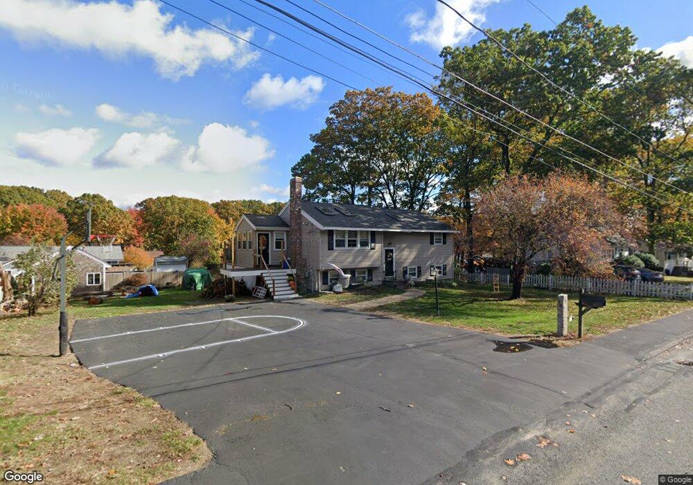
18 Trinity Dr Milford, MA 01757
Estimated Value: $566,000 - $633,000
4
Beds
2
Baths
1,758
Sq Ft
$339/Sq Ft
Est. Value
About This Home
This home is located at 18 Trinity Dr, Milford, MA 01757 and is currently estimated at $595,481, approximately $338 per square foot. 18 Trinity Dr is a home located in Worcester County with nearby schools including Milford High School.
Ownership History
Date
Name
Owned For
Owner Type
Purchase Details
Closed on
Apr 1, 2022
Sold by
Koshinsky Jaycee N
Bought by
Koshinsky Kevin J and Koshinsky Jaycee N
Current Estimated Value
Purchase Details
Closed on
Dec 22, 2000
Sold by
Stephens Andrew T and Stephens Carla M
Bought by
Denommee Matthew C and Denommee Jaycee N
Purchase Details
Closed on
Jan 25, 1996
Sold by
Greenleaf Fncl Svcs
Bought by
Stephens Andrew T and Stephens Carla
Purchase Details
Closed on
Apr 7, 1995
Sold by
Macintosh Kenneth
Bought by
Greenleaf Fncl Svcs
Purchase Details
Closed on
Sep 14, 1987
Sold by
Mahalick Mary G
Bought by
Macintosh Kenneth D
Create a Home Valuation Report for This Property
The Home Valuation Report is an in-depth analysis detailing your home's value as well as a comparison with similar homes in the area
Home Values in the Area
Average Home Value in this Area
Purchase History
| Date | Buyer | Sale Price | Title Company |
|---|---|---|---|
| Koshinsky Kevin J | -- | None Available | |
| Denommee Matthew C | $210,000 | -- | |
| Stephens Andrew T | $127,000 | -- | |
| Greenleaf Fncl Svcs | $65,000 | -- | |
| Macintosh Kenneth D | $153,000 | -- |
Source: Public Records
Mortgage History
| Date | Status | Borrower | Loan Amount |
|---|---|---|---|
| Previous Owner | Macintosh Kenneth D | $182,600 | |
| Previous Owner | Macintosh Kenneth D | $35,000 |
Source: Public Records
Tax History
| Year | Tax Paid | Tax Assessment Tax Assessment Total Assessment is a certain percentage of the fair market value that is determined by local assessors to be the total taxable value of land and additions on the property. | Land | Improvement |
|---|---|---|---|---|
| 2025 | $5,925 | $462,900 | $182,600 | $280,300 |
| 2024 | $5,725 | $430,800 | $175,300 | $255,500 |
| 2023 | $5,348 | $370,100 | $146,100 | $224,000 |
| 2022 | $5,136 | $333,700 | $135,100 | $198,600 |
| 2021 | $5,128 | $320,900 | $135,100 | $185,800 |
| 2020 | $5,045 | $316,100 | $135,100 | $181,000 |
| 2019 | $4,643 | $280,700 | $135,100 | $145,600 |
| 2018 | $4,438 | $268,000 | $129,600 | $138,400 |
| 2017 | $4,354 | $259,300 | $129,600 | $129,700 |
| 2016 | $4,209 | $245,000 | $129,600 | $115,400 |
| 2015 | $4,108 | $234,100 | $124,200 | $109,900 |
Source: Public Records
Map
Nearby Homes
- 20 Cornell Dr
- 10 Yale Dr
- 3 Fordham Dr
- 14 C Country Club Ln
- 8 Bandy Ln
- 37 Godfrey Ln
- 14 Country Club Ln Unit C
- 11 Country Club Ln Unit D
- 8 Country Club Ln Unit B
- 9 Packard Rd
- 38 Walker Avenue Extension
- 17 Cunniff Ave
- 0 West St
- 130 Purchase St
- 9 Robin Rd
- 44 Silver Hill Rd
- 11 Deluca Rd
- 85 Congress St
- 19 Village Cir
- 4 Kennedy Ln Unit 47
Your Personal Tour Guide
Ask me questions while you tour the home.