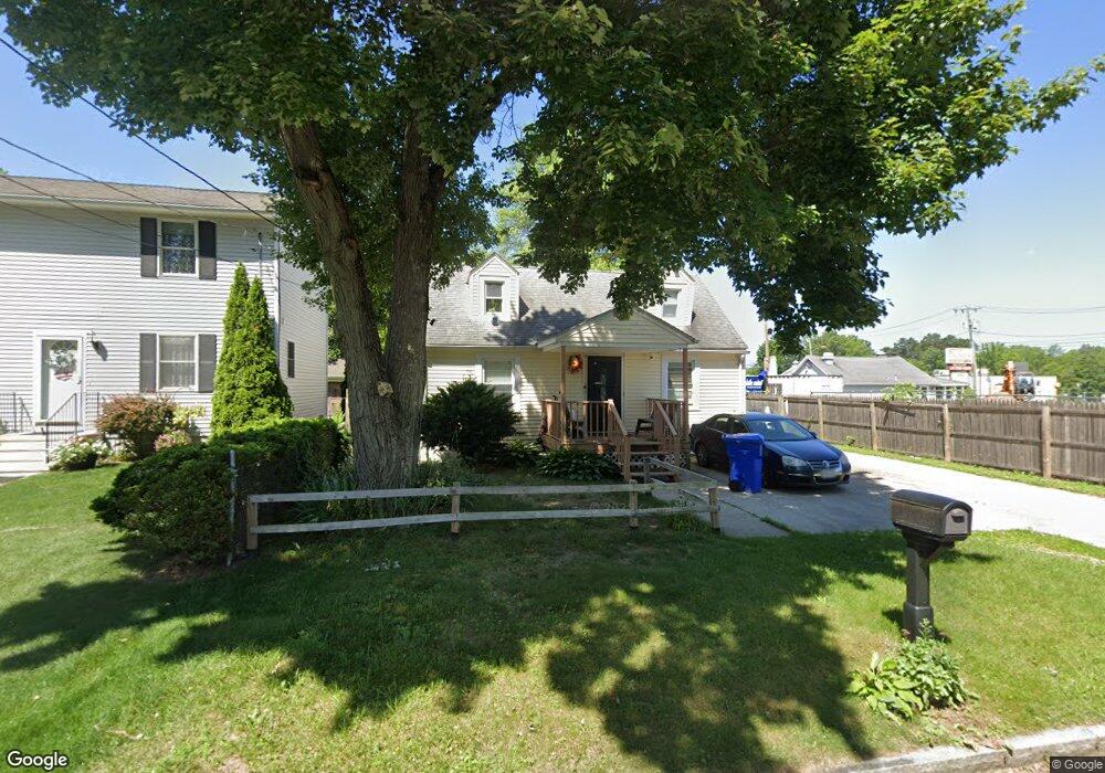
18 Wrentham Rd Springfield, MA 01119
Boston Road NeighborhoodEstimated Value: $237,000 - $282,000
4
Beds
1
Bath
1,008
Sq Ft
$252/Sq Ft
Est. Value
About This Home
This home is located at 18 Wrentham Rd, Springfield, MA 01119 and is currently estimated at $254,409, approximately $252 per square foot. 18 Wrentham Rd is a home located in Hampden County with nearby schools including Warner, M Marcus Kiley Middle, and Springfield Central High School.
Ownership History
Date
Name
Owned For
Owner Type
Purchase Details
Closed on
Nov 30, 2005
Sold by
Grandfield Daniel J and Grandfield Joy M
Bought by
Serrano Brenda I and Serrano Jose E
Current Estimated Value
Home Financials for this Owner
Home Financials are based on the most recent Mortgage that was taken out on this home.
Original Mortgage
$101,472
Outstanding Balance
$56,267
Interest Rate
6.14%
Mortgage Type
Purchase Money Mortgage
Estimated Equity
$198,142
Purchase Details
Closed on
Jul 20, 2005
Sold by
Lavalley Raymond G and Lavalley Shirley M
Bought by
Grandfield Daniel J and Grandfield Joy M
Home Financials for this Owner
Home Financials are based on the most recent Mortgage that was taken out on this home.
Original Mortgage
$62,000
Interest Rate
5.59%
Mortgage Type
Purchase Money Mortgage
Create a Home Valuation Report for This Property
The Home Valuation Report is an in-depth analysis detailing your home's value as well as a comparison with similar homes in the area
Home Values in the Area
Average Home Value in this Area
Purchase History
| Date | Buyer | Sale Price | Title Company |
|---|---|---|---|
| Serrano Brenda I | $12,684 | -- | |
| Grandfield Daniel J | $50,000 | -- |
Source: Public Records
Mortgage History
| Date | Status | Borrower | Loan Amount |
|---|---|---|---|
| Open | Serrano Brenda I | $101,472 | |
| Closed | Serrano Brenda I | $25,368 | |
| Previous Owner | Grandfield Daniel J | $62,000 |
Source: Public Records
Tax History
| Year | Tax Paid | Tax Assessment Tax Assessment Total Assessment is a certain percentage of the fair market value that is determined by local assessors to be the total taxable value of land and additions on the property. | Land | Improvement |
|---|---|---|---|---|
| 2025 | $2,962 | $188,900 | $43,000 | $145,900 |
| 2024 | $2,753 | $171,400 | $40,200 | $131,200 |
| 2023 | $2,508 | $147,100 | $38,300 | $108,800 |
| 2022 | $2,364 | $125,600 | $38,300 | $87,300 |
| 2021 | $2,122 | $112,300 | $34,800 | $77,500 |
| 2020 | $2,049 | $104,900 | $34,800 | $70,100 |
| 2019 | $2,027 | $103,000 | $34,800 | $68,200 |
| 2018 | $2,066 | $105,000 | $34,800 | $70,200 |
| 2017 | $2,102 | $106,900 | $34,800 | $72,100 |
| 2016 | $1,978 | $100,600 | $34,800 | $65,800 |
| 2015 | $1,912 | $97,200 | $34,800 | $62,400 |
Source: Public Records
Map
Nearby Homes
Your Personal Tour Guide
Ask me questions while you tour the home.