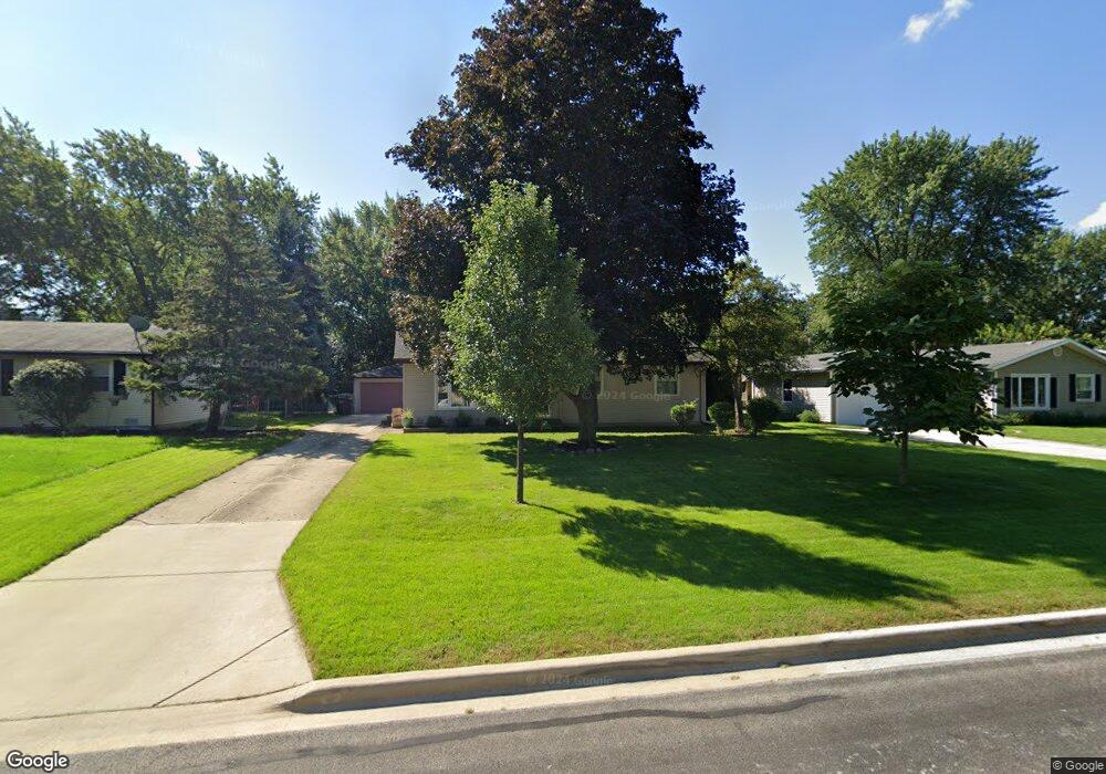
180 Mohawk Dr Carol Stream, IL 60188
Estimated Value: $338,000 - $351,000
3
Beds
2
Baths
1,056
Sq Ft
$325/Sq Ft
Est. Value
About This Home
This home is located at 180 Mohawk Dr, Carol Stream, IL 60188 and is currently estimated at $343,106, approximately $324 per square foot. 180 Mohawk Dr is a home located in DuPage County with nearby schools including Field Kindergarten Center, Carol Stream Elementary School, and Jay Stream Middle School.
Ownership History
Date
Name
Owned For
Owner Type
Purchase Details
Closed on
May 23, 2002
Sold by
Paul Richard N and Paul Christa A
Bought by
Iwasyk David S and Iwasyk Carrie L
Current Estimated Value
Home Financials for this Owner
Home Financials are based on the most recent Mortgage that was taken out on this home.
Original Mortgage
$171,200
Outstanding Balance
$73,003
Interest Rate
7.07%
Estimated Equity
$270,103
Purchase Details
Closed on
May 26, 1994
Sold by
Lade Daniel R and Lade Rebecca L
Bought by
Paul Richard N and Paul Christa A
Home Financials for this Owner
Home Financials are based on the most recent Mortgage that was taken out on this home.
Original Mortgage
$115,400
Interest Rate
5.62%
Create a Home Valuation Report for This Property
The Home Valuation Report is an in-depth analysis detailing your home's value as well as a comparison with similar homes in the area
Home Values in the Area
Average Home Value in this Area
Purchase History
| Date | Buyer | Sale Price | Title Company |
|---|---|---|---|
| Iwasyk David S | $176,500 | -- | |
| Paul Richard N | $121,500 | -- |
Source: Public Records
Mortgage History
| Date | Status | Borrower | Loan Amount |
|---|---|---|---|
| Open | Iwasyk David S | $171,200 | |
| Previous Owner | Paul Richard N | $115,400 |
Source: Public Records
Tax History Compared to Growth
Tax History
| Year | Tax Paid | Tax Assessment Tax Assessment Total Assessment is a certain percentage of the fair market value that is determined by local assessors to be the total taxable value of land and additions on the property. | Land | Improvement |
|---|---|---|---|---|
| 2024 | $6,643 | $85,436 | $31,023 | $54,413 |
| 2023 | $6,266 | $78,130 | $28,370 | $49,760 |
| 2022 | $6,142 | $72,580 | $28,190 | $44,390 |
| 2021 | $5,848 | $68,960 | $26,780 | $42,180 |
| 2020 | $5,748 | $67,280 | $26,130 | $41,150 |
| 2019 | $5,522 | $64,650 | $25,110 | $39,540 |
| 2018 | $5,089 | $60,780 | $24,450 | $36,330 |
| 2017 | $4,796 | $56,330 | $22,660 | $33,670 |
| 2016 | $4,526 | $52,130 | $20,970 | $31,160 |
| 2015 | $4,408 | $48,650 | $19,570 | $29,080 |
| 2014 | $4,474 | $48,510 | $20,230 | $28,280 |
| 2013 | $4,507 | $50,170 | $20,920 | $29,250 |
Source: Public Records
Map
Nearby Homes
- 206 Yuma Ln
- 437 Eagle View Dr
- 229 Shawnee Dr
- 269 Thunderbird Trail
- 1430 Preserve Dr Unit 29
- 1N060 LOT 1 Morse St
- 1N060 LOT 2 Morse St
- 1N060 LOT 4 Morse St
- 1043 Quarry Ct Unit 11
- 1048 Quarry Ct Unit 13
- 1421 Preserve Dr Unit 18
- 1N060 LOT 3 Morse St
- 1027 Quarry Ct Unit 7
- 342 Seminole Ln
- 299 Bennett Dr
- 332 El Paso Ln
- 352 Sioux Ln
- 601 Bluff St
- 426 Thunderbird Trail
- 403 Arrowhead Trail
- 176 Mohawk Dr
- 190 Mohawk Dr
- 183 Thunderbird Trail
- 170 Mohawk Dr
- 170 Mohawk Dr
- 196 Mohawk Dr Unit 2
- 179 Thunderbird Trail Unit 2
- 173 Thunderbird Trail
- 181 Mohawk Dr
- 191 Mohawk Dr
- 177 Mohawk Dr
- 166 Mohawk Dr
- 206 Mohawk Dr
- 197 Mohawk Dr
- 199 Thunderbird Trail
- 171 Mohawk Dr
- 163 Thunderbird Trail
- 214 Tomahawk Ct
- 207 Mohawk Dr
- 160 Mohawk Dr