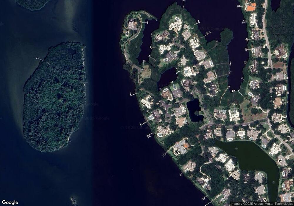
180 N Shore Point Vero Beach, FL 32963
Estimated Value: $7,272,000 - $9,938,743
4
Beds
5
Baths
6,303
Sq Ft
$1,367/Sq Ft
Est. Value
About This Home
This home is located at 180 N Shore Point, Vero Beach, FL 32963 and is currently estimated at $8,615,581, approximately $1,366 per square foot. 180 N Shore Point is a home with nearby schools including Beachland Elementary School, Gifford Middle School, and Vero Beach High School.
Ownership History
Date
Name
Owned For
Owner Type
Purchase Details
Closed on
Aug 24, 2012
Sold by
Mactaggart Barry and Mactaggart Robin
Bought by
Mactaggart Barry and Mactaggart Robin
Current Estimated Value
Home Financials for this Owner
Home Financials are based on the most recent Mortgage that was taken out on this home.
Original Mortgage
$2,500,000
Interest Rate
2.12%
Mortgage Type
Adjustable Rate Mortgage/ARM
Create a Home Valuation Report for This Property
The Home Valuation Report is an in-depth analysis detailing your home's value as well as a comparison with similar homes in the area
Home Values in the Area
Average Home Value in this Area
Purchase History
| Date | Buyer | Sale Price | Title Company |
|---|---|---|---|
| Mactaggart Barry | -- | Attorney |
Source: Public Records
Mortgage History
| Date | Status | Borrower | Loan Amount |
|---|---|---|---|
| Closed | Mactaggart Barry | $2,500,000 |
Source: Public Records
Tax History Compared to Growth
Tax History
| Year | Tax Paid | Tax Assessment Tax Assessment Total Assessment is a certain percentage of the fair market value that is determined by local assessors to be the total taxable value of land and additions on the property. | Land | Improvement |
|---|---|---|---|---|
| 2024 | $34,404 | $3,115,069 | -- | -- |
| 2023 | $34,404 | $2,939,105 | $0 | $0 |
| 2022 | $33,688 | $2,853,500 | $0 | $0 |
| 2021 | $34,072 | $2,770,389 | $0 | $0 |
| 2020 | $34,183 | $2,732,139 | $0 | $0 |
| 2019 | $34,565 | $2,670,712 | $0 | $0 |
| 2018 | $34,538 | $2,620,915 | $0 | $0 |
| 2017 | $34,705 | $2,567,008 | $0 | $0 |
| 2016 | $35,430 | $2,514,210 | $0 | $0 |
| 2015 | $36,904 | $2,496,740 | $0 | $0 |
| 2014 | $36,717 | $2,476,930 | $0 | $0 |
Source: Public Records
Map
Nearby Homes
- 9430+9436 Sea Grape Dr
- 2265 & 2255 Seaside St
- 900 River Club Drive & Highway A1a
- 260 Island Creek Dr
- 190 Oleander Way
- 400 Beach Rd Unit 219
- 400 Beach Rd Unit 150
- 400 Beach Rd Unit 211
- 400 Beach Rd Unit 212
- 5540 N Harbor Village Dr Unit 305
- 5540 N Harbor Village Dr Unit 103
- 700 Beach Rd Unit 250
- 5520 N Harbor Village Dr Unit 302
- 5520 N Harbor Village Dr Unit 104
- 5520 N Harbor Village Dr Unit 205
- 5520 N Harbor Village Dr Unit 203
- 5520 N Harbor Village Dr Unit 204
- 1215 Marina Village Cir Unit 402
- 1215 Marina Village Cir Unit 202
- 2350 Quay Dock Rd
- 120 S Shore Cir
- 160 N Shore Point
- 150 N Shore Point
- 121 S Shore Cir
- 130 S Shore Cir
- 131 S Shore Cir
- 140 N Shore Point
- 91 Oyster Cut
- 71 Oyster Cut
- 81 Oyster Cut
- 101 Oyster Cut
- 50 Oyster Cut
- 60 Oyster Cut
- 45 Wax Myrtle Way
- 111 Oyster Cut
- 70 Oyster Cut
- 80 Oyster Cut
- 30 Wax Myrtle Way
- 90 Oyster Cut
- 101 Dove Plum Rd
