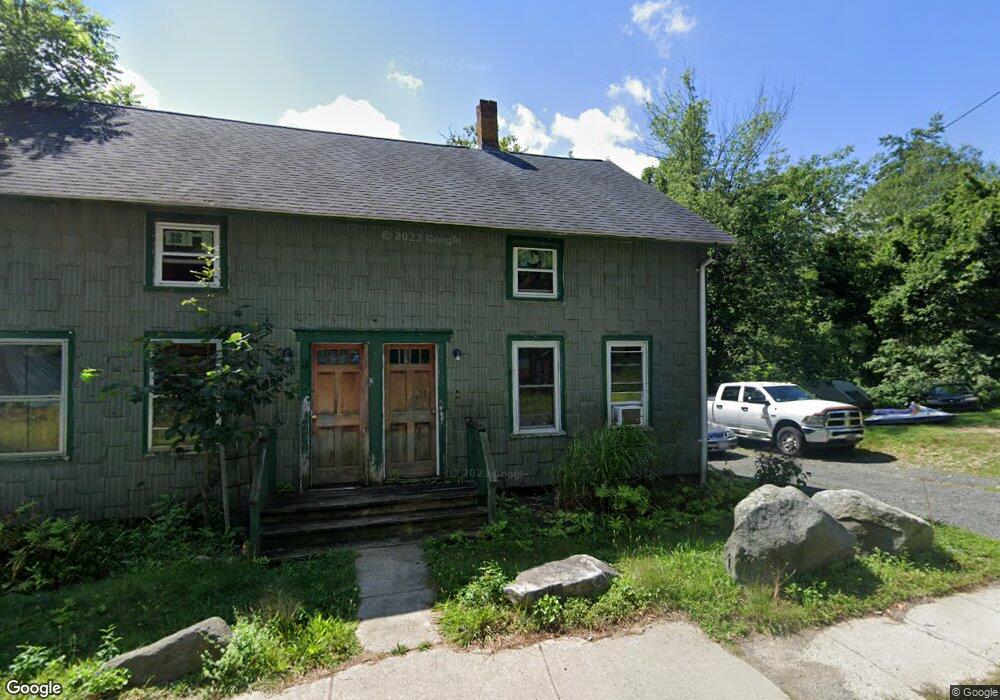
180 River St Belchertown, MA 01007
Estimated Value: $233,000 - $287,000
4
Beds
2
Baths
1,647
Sq Ft
$159/Sq Ft
Est. Value
About This Home
This home is located at 180 River St, Belchertown, MA 01007 and is currently estimated at $261,276, approximately $158 per square foot. 180 River St is a home located in Hampshire County with nearby schools including Swift River Elementary School, Chestnut Hill Community School, and Jabish Middle School.
Ownership History
Date
Name
Owned For
Owner Type
Purchase Details
Closed on
Feb 20, 1998
Sold by
Geslock Stanley T and Pisarski Pauline N
Bought by
Lyndon Charles J
Current Estimated Value
Home Financials for this Owner
Home Financials are based on the most recent Mortgage that was taken out on this home.
Original Mortgage
$73,707
Outstanding Balance
$12,932
Interest Rate
6.9%
Mortgage Type
Purchase Money Mortgage
Estimated Equity
$248,344
Create a Home Valuation Report for This Property
The Home Valuation Report is an in-depth analysis detailing your home's value as well as a comparison with similar homes in the area
Home Values in the Area
Average Home Value in this Area
Purchase History
| Date | Buyer | Sale Price | Title Company |
|---|---|---|---|
| Lyndon Charles J | $75,000 | -- |
Source: Public Records
Mortgage History
| Date | Status | Borrower | Loan Amount |
|---|---|---|---|
| Open | Lyndon Charles J | $73,707 |
Source: Public Records
Tax History Compared to Growth
Tax History
| Year | Tax Paid | Tax Assessment Tax Assessment Total Assessment is a certain percentage of the fair market value that is determined by local assessors to be the total taxable value of land and additions on the property. | Land | Improvement |
|---|---|---|---|---|
| 2025 | $2,069 | $142,600 | $62,300 | $80,300 |
| 2024 | $1,993 | $130,100 | $56,300 | $73,800 |
| 2023 | $2,251 | $137,900 | $52,600 | $85,300 |
| 2022 | $2,222 | $125,800 | $52,600 | $73,200 |
| 2021 | $2,080 | $114,700 | $48,800 | $65,900 |
| 2020 | $2,084 | $114,700 | $48,800 | $65,900 |
| 2019 | $2,021 | $110,300 | $46,900 | $63,400 |
| 2018 | $2,045 | $112,400 | $48,100 | $64,300 |
| 2017 | $2,046 | $112,400 | $48,100 | $64,300 |
| 2016 | $1,948 | $108,400 | $46,900 | $61,500 |
| 2015 | $1,973 | $110,300 | $48,800 | $61,500 |
Source: Public Records
Map
Nearby Homes
- 87-12 State St
- 3121-3123 Main St
- 3162-3164 High St
- 3145-3147 High St
- 3012 Thorndike St
- Lot 87-12 State St
- 4 Sunny Crest Ln
- 31 High Bluff Rd
- 23 High Bluff Rd
- 36 Jim Ash Rd
- 3090 Palmer St
- 0 N Liberty St
- 0 Michael Sears Rd
- Lot 38B Michael Sears Rd
- 4188 Main St
- 4014 School St
- 275 State St
- Lot 2 State St
- 19 Commercial St
- 34 Commercial St
- 182 River St
- 182 River St Unit A
- 19 Bridge St
- Lot A River St
- 801 Franklin St
- 801 Franklin St Unit 1
- 800 Franklin St
- 798 Franklin St
- 155 River St
- 794 Franklin St
- 791 Franklin St
- 18 Keyes St
- 18 Keys Ave
- 792 Franklin St
- 147 River St
- 9 Bennett St Unit 11
- 9-11 Bond St
- 785 Franklin St
- 16 Keyes St
- 10 Depot St