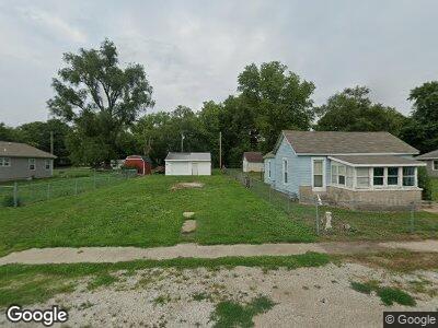
180 W Lewis St Niantic, IL 62551
Estimated Value: $46,000 - $72,000
2
Beds
1
Bath
820
Sq Ft
$74/Sq Ft
Est. Value
About This Home
This home is located at 180 W Lewis St, Niantic, IL 62551 and is currently estimated at $60,710, approximately $74 per square foot. 180 W Lewis St is a home located in Macon County.
Ownership History
Date
Name
Owned For
Owner Type
Purchase Details
Closed on
Aug 14, 2023
Sold by
Brown Cecil
Bought by
Brown Homer
Current Estimated Value
Purchase Details
Closed on
Mar 17, 2021
Sold by
Macon County
Bought by
Brown Cecil
Purchase Details
Closed on
Nov 20, 2019
Sold by
Macon County Clerk
Bought by
Macon County
Purchase Details
Closed on
Dec 18, 2006
Sold by
Still Gary G and Still Amy M
Bought by
Timmons John David
Home Financials for this Owner
Home Financials are based on the most recent Mortgage that was taken out on this home.
Original Mortgage
$33,500
Interest Rate
6.36%
Mortgage Type
New Conventional
Purchase Details
Closed on
Nov 1, 2001
Create a Home Valuation Report for This Property
The Home Valuation Report is an in-depth analysis detailing your home's value as well as a comparison with similar homes in the area
Home Values in the Area
Average Home Value in this Area
Purchase History
| Date | Buyer | Sale Price | Title Company |
|---|---|---|---|
| Brown Homer | -- | None Listed On Document | |
| Brown Cecil | -- | None Available | |
| Macon County | -- | None Available | |
| Timmons John David | $33,500 | None Available | |
| -- | $37,500 | -- |
Source: Public Records
Mortgage History
| Date | Status | Borrower | Loan Amount |
|---|---|---|---|
| Previous Owner | Timmons John David | $33,500 |
Source: Public Records
Tax History Compared to Growth
Tax History
| Year | Tax Paid | Tax Assessment Tax Assessment Total Assessment is a certain percentage of the fair market value that is determined by local assessors to be the total taxable value of land and additions on the property. | Land | Improvement |
|---|---|---|---|---|
| 2023 | $290 | $3,473 | $3,303 | $170 |
| 2022 | $278 | $3,213 | $3,055 | $158 |
| 2021 | $0 | $104 | $52 | $52 |
| 2020 | $0 | $98 | $49 | $49 |
| 2019 | $1,042 | $98 | $49 | $49 |
| 2018 | $1,042 | $11,322 | $2,132 | $9,190 |
| 2017 | $1,921 | $20,621 | $2,141 | $18,480 |
| 2016 | $1,930 | $20,596 | $2,138 | $18,458 |
| 2015 | $1,855 | $19,996 | $2,076 | $17,920 |
| 2014 | $1,797 | $19,798 | $2,055 | $17,743 |
| 2013 | $1,993 | $19,798 | $2,055 | $17,743 |
Source: Public Records
Map
Nearby Homes
- 177 W Montgomery St
- 0 Julia Ct
- 10864 Cornish Rd
- 13505 W Long Point Rd
- 909 Miles St Unit 1
- 414 5th St
- 418 4th St Unit 1
- 275 N Camp St
- 205 N Camp St
- 0 W Wood St
- 0 W Harristown Blvd Unit 6251050
- 5232 W Main St
- 888 S Mckinney Ln
- 64 1725th Ave
- 204 S Broad St
- 6044 W Elwin Rd
- 0 W Rock Springs Rd
- 261 E 4th St
- 622 E Main St
- 1720 N Sunnyside Rd